Be yourself; Everyone else is already taken.
— Oscar Wilde.
This is the first post on my new blog. I’m just getting this new blog going, so stay tuned for more. Subscribe below to get notified when I post new updates.
Trail photos and journal updated whenever I’m in a town with WiFi. Also on Instagram: @han_sobo_
Be yourself; Everyone else is already taken.
— Oscar Wilde.
This is the first post on my new blog. I’m just getting this new blog going, so stay tuned for more. Subscribe below to get notified when I post new updates.
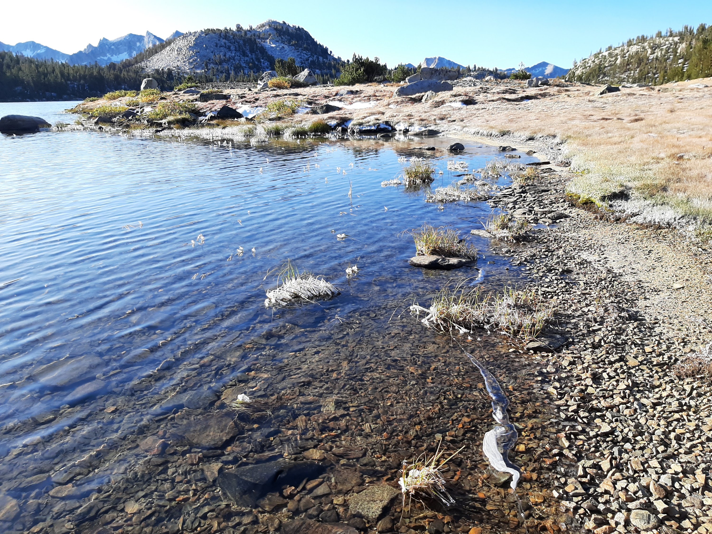
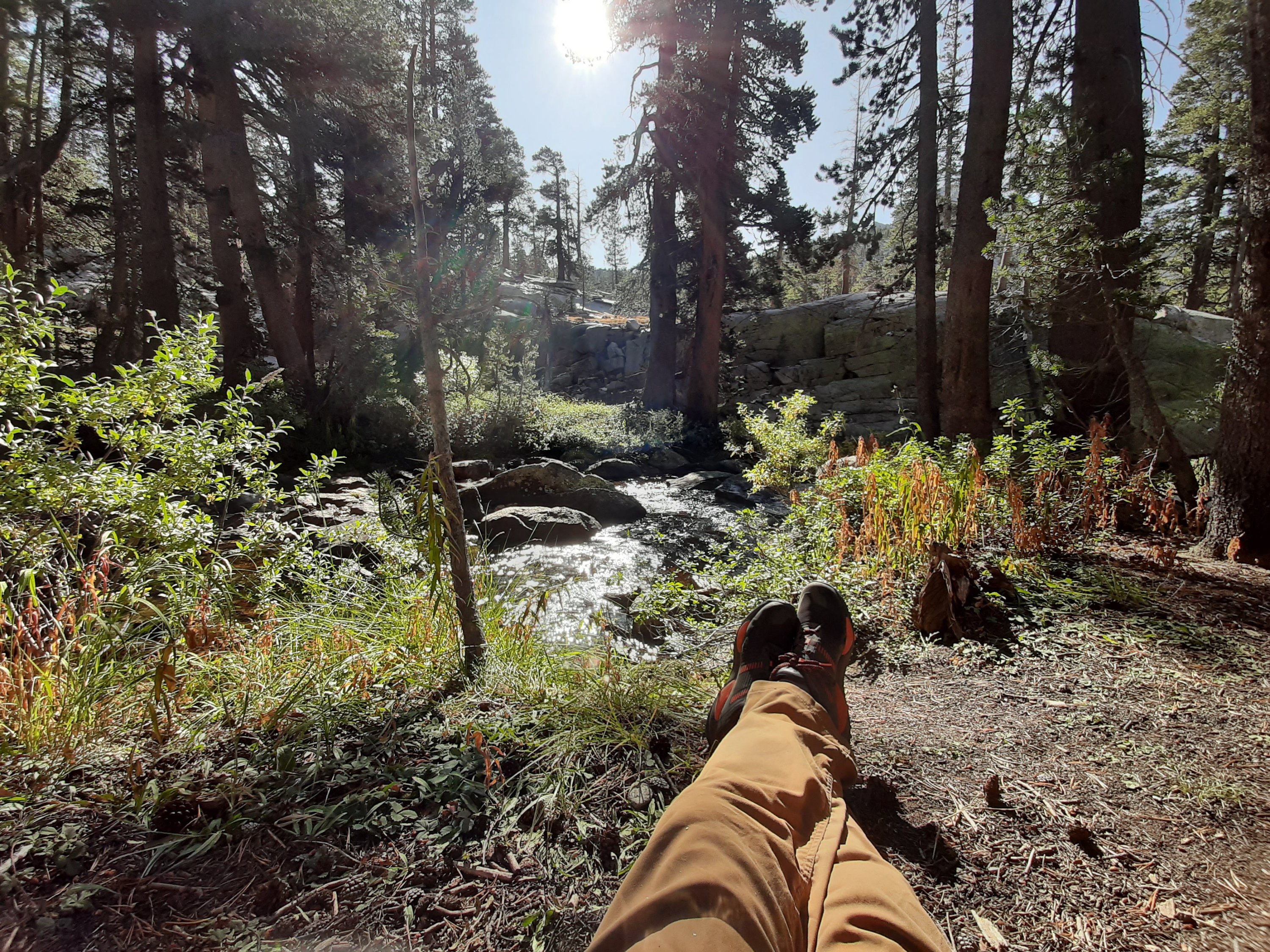
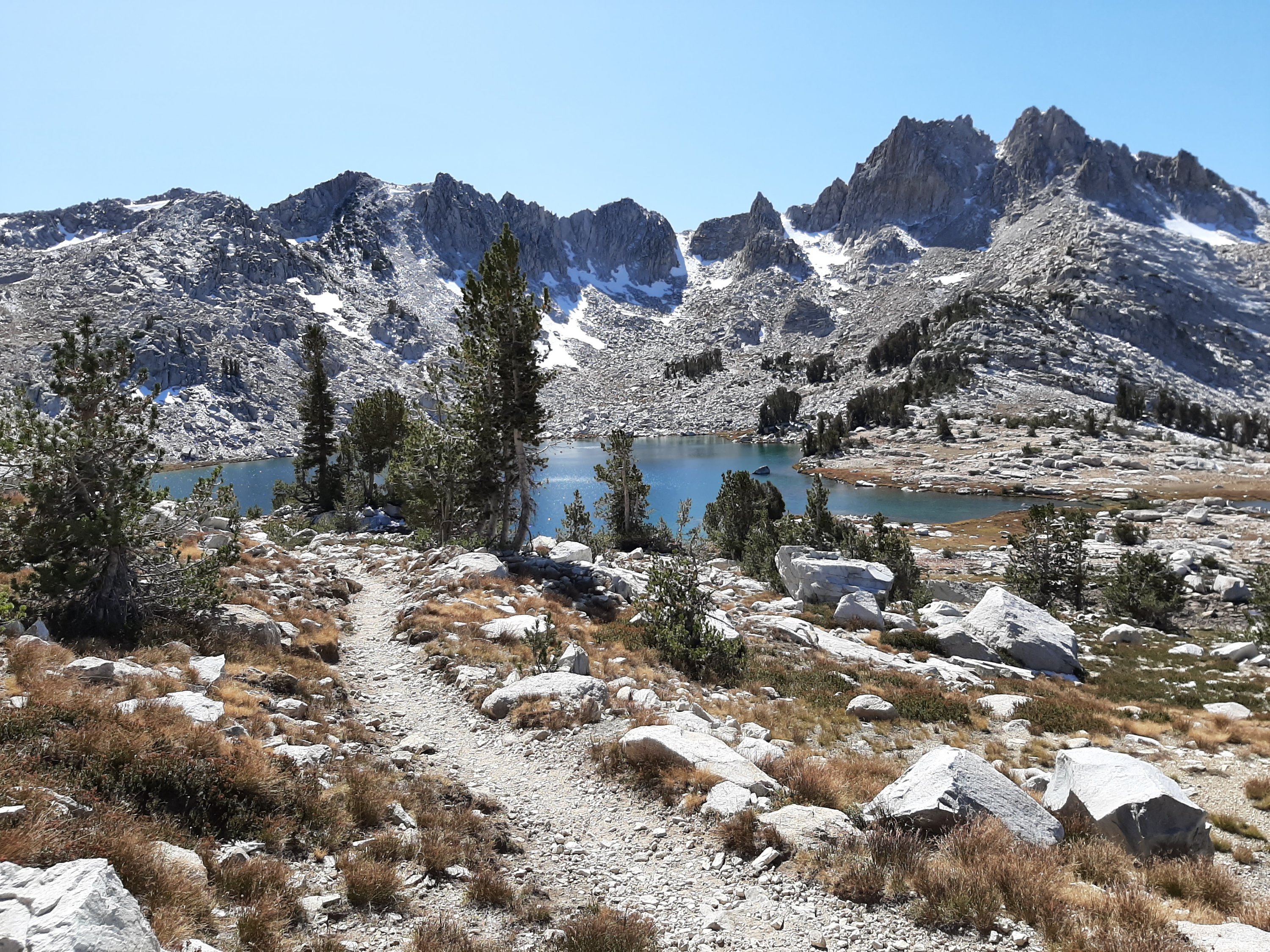
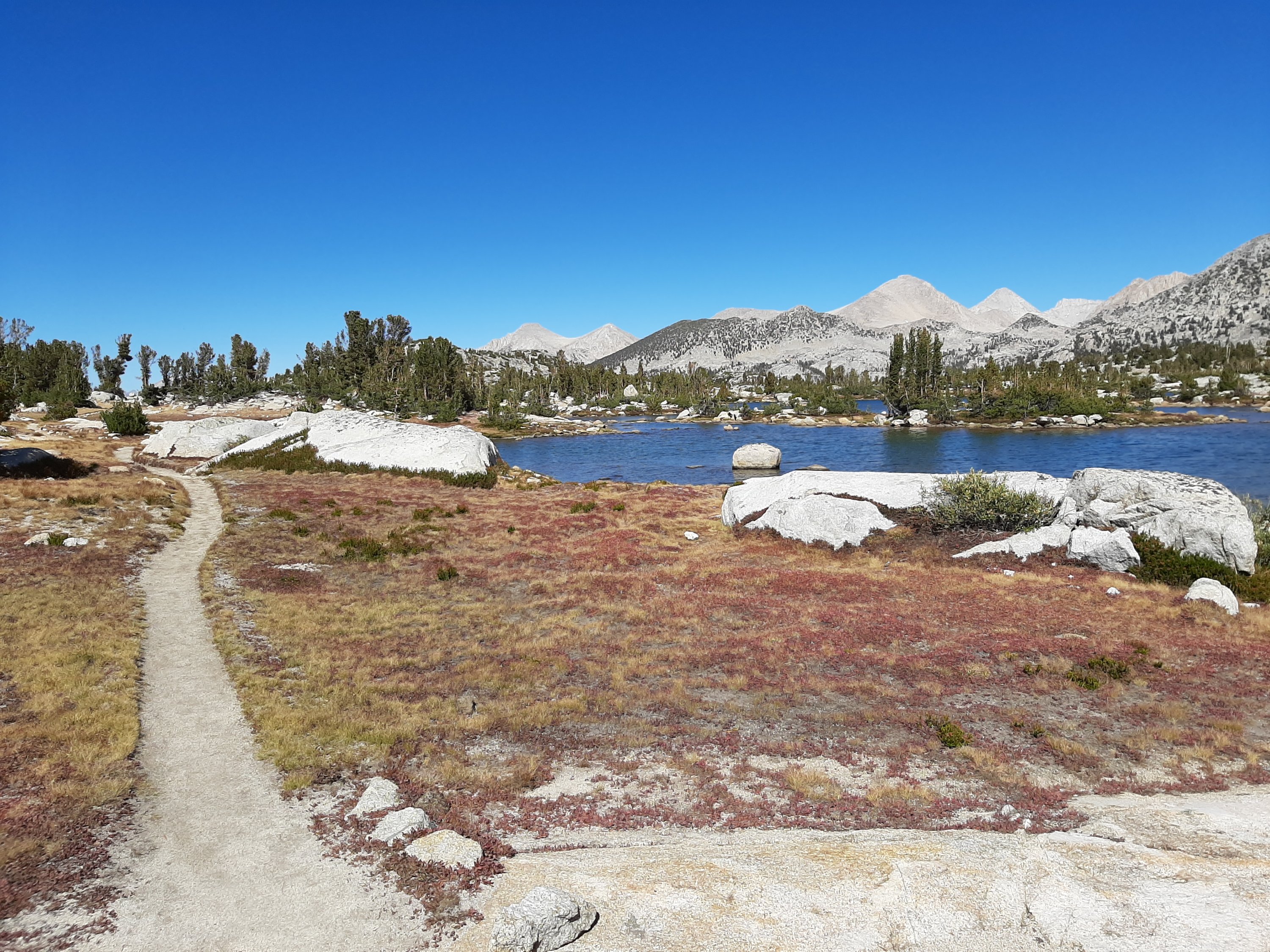
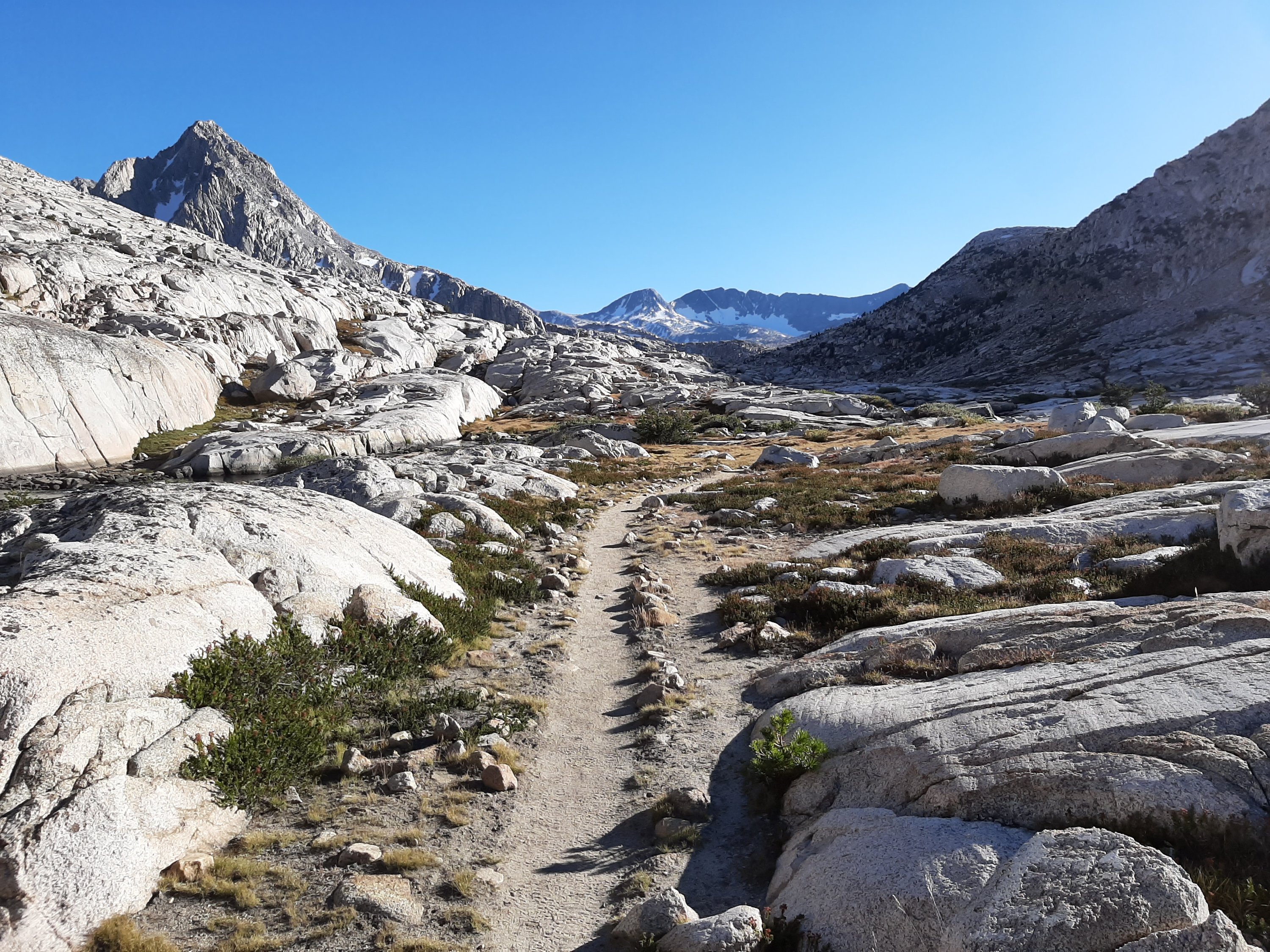
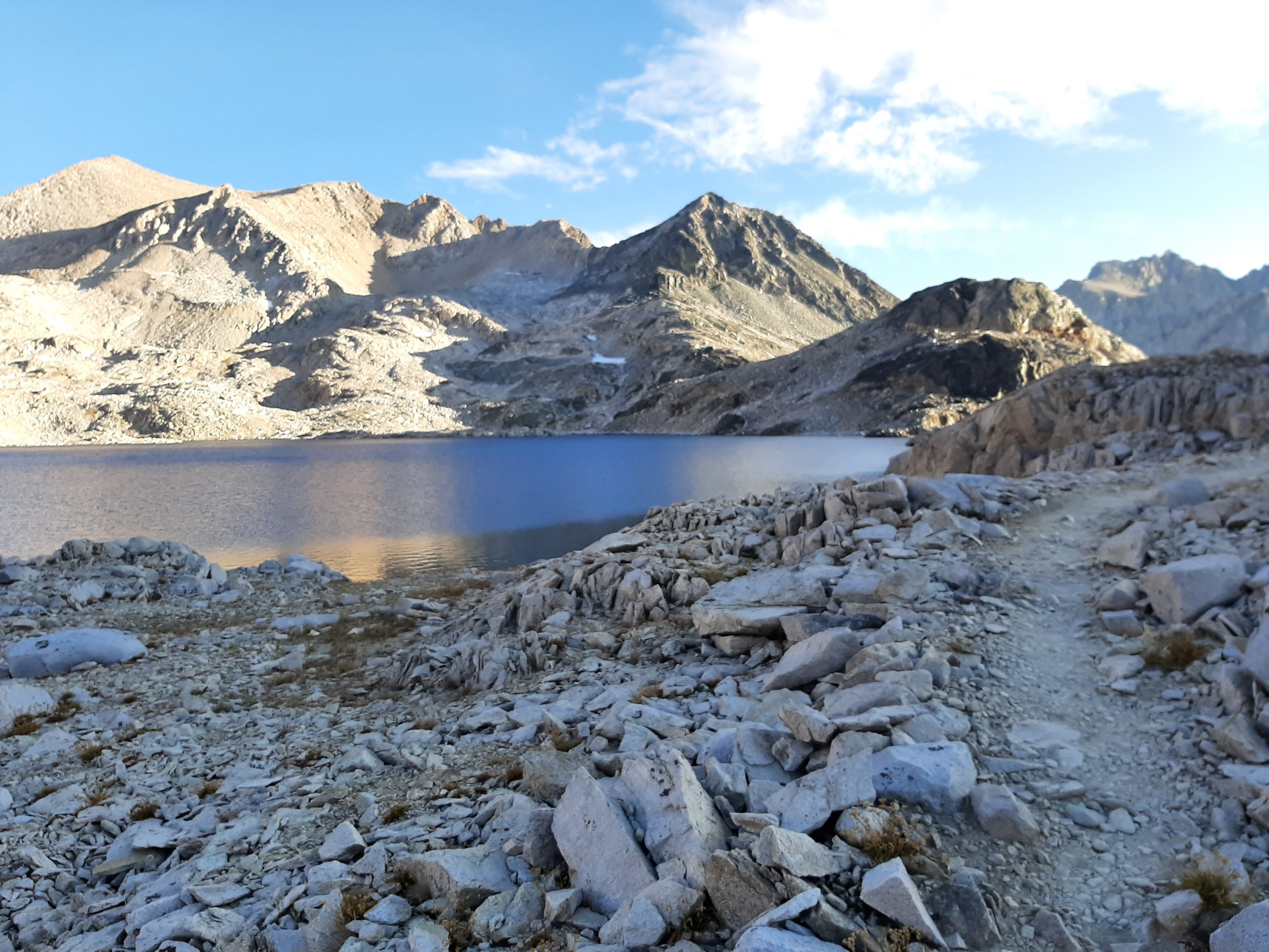
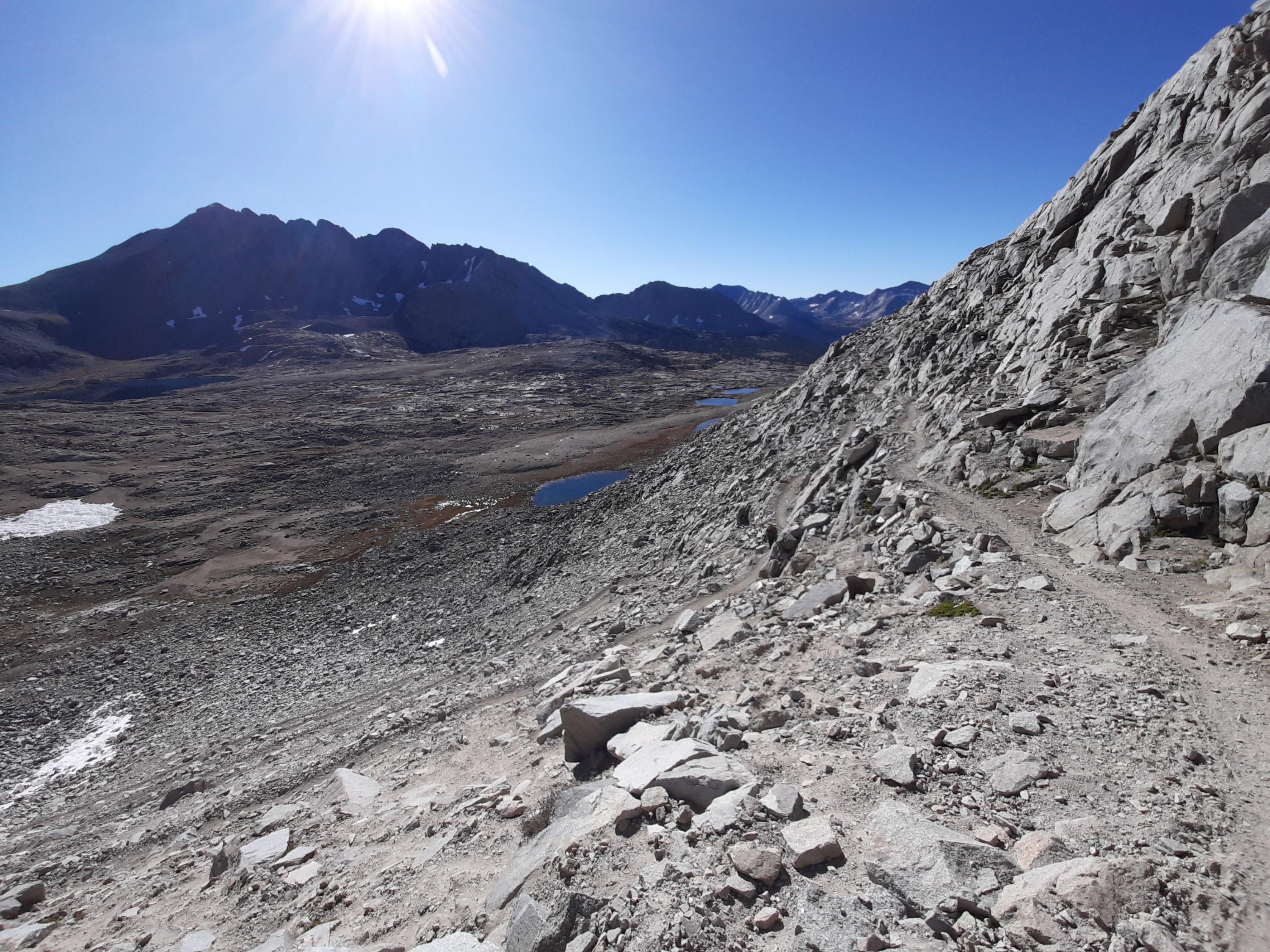
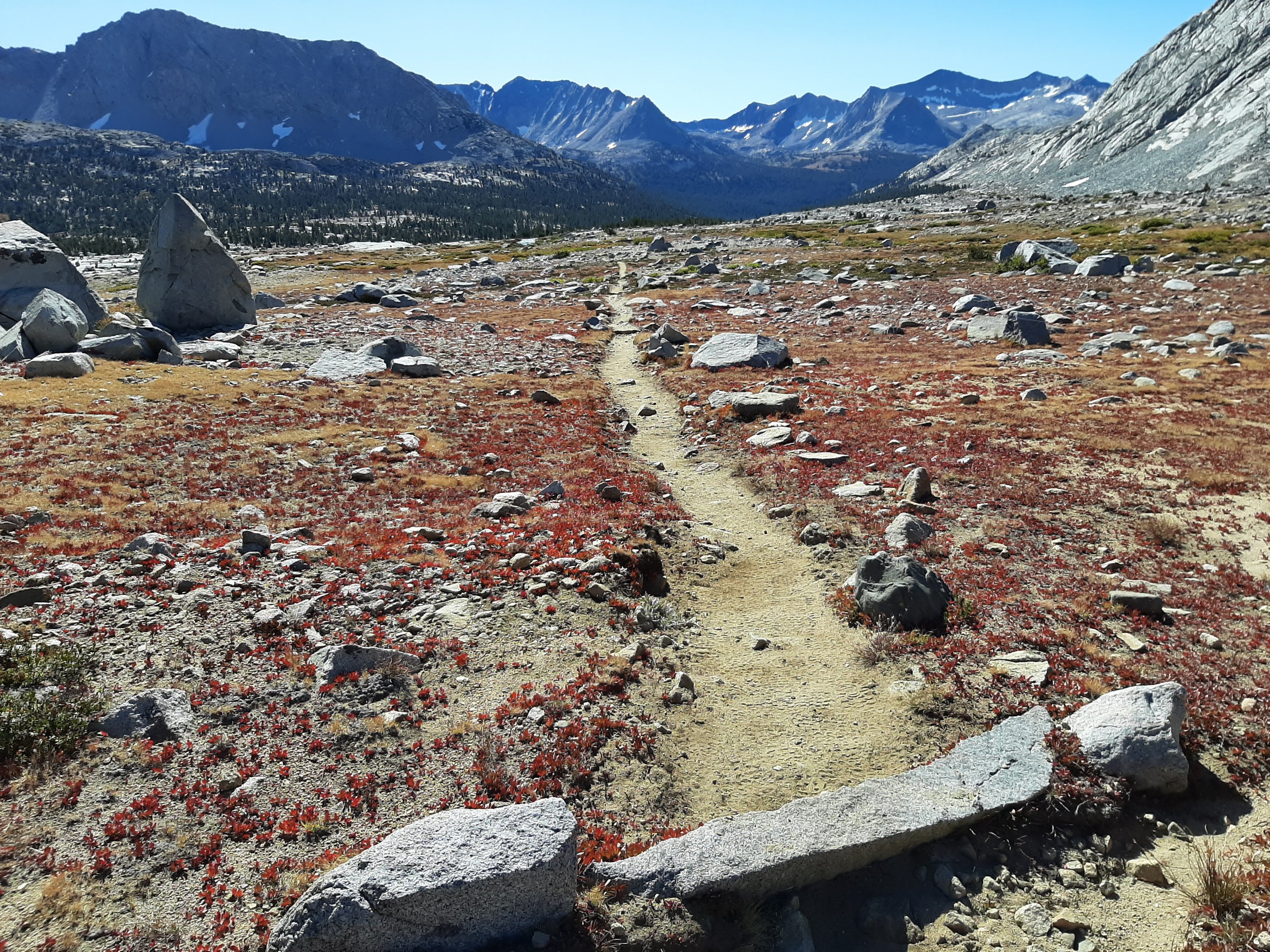
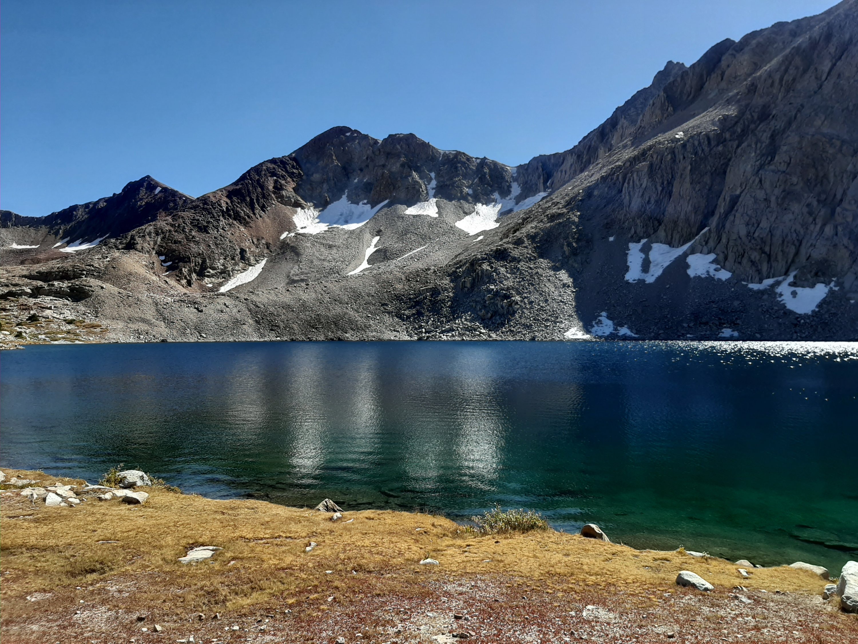
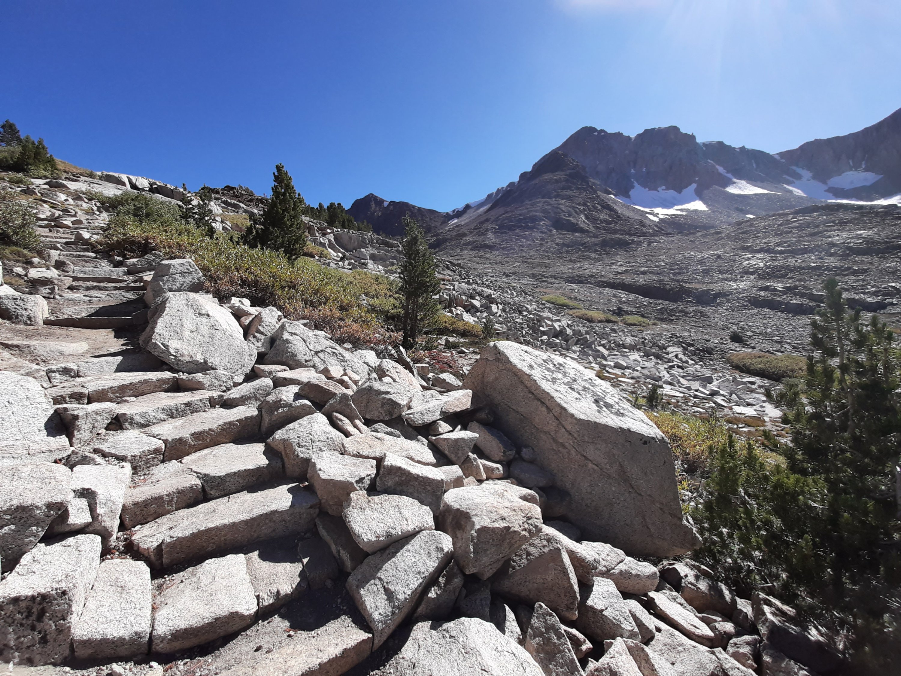
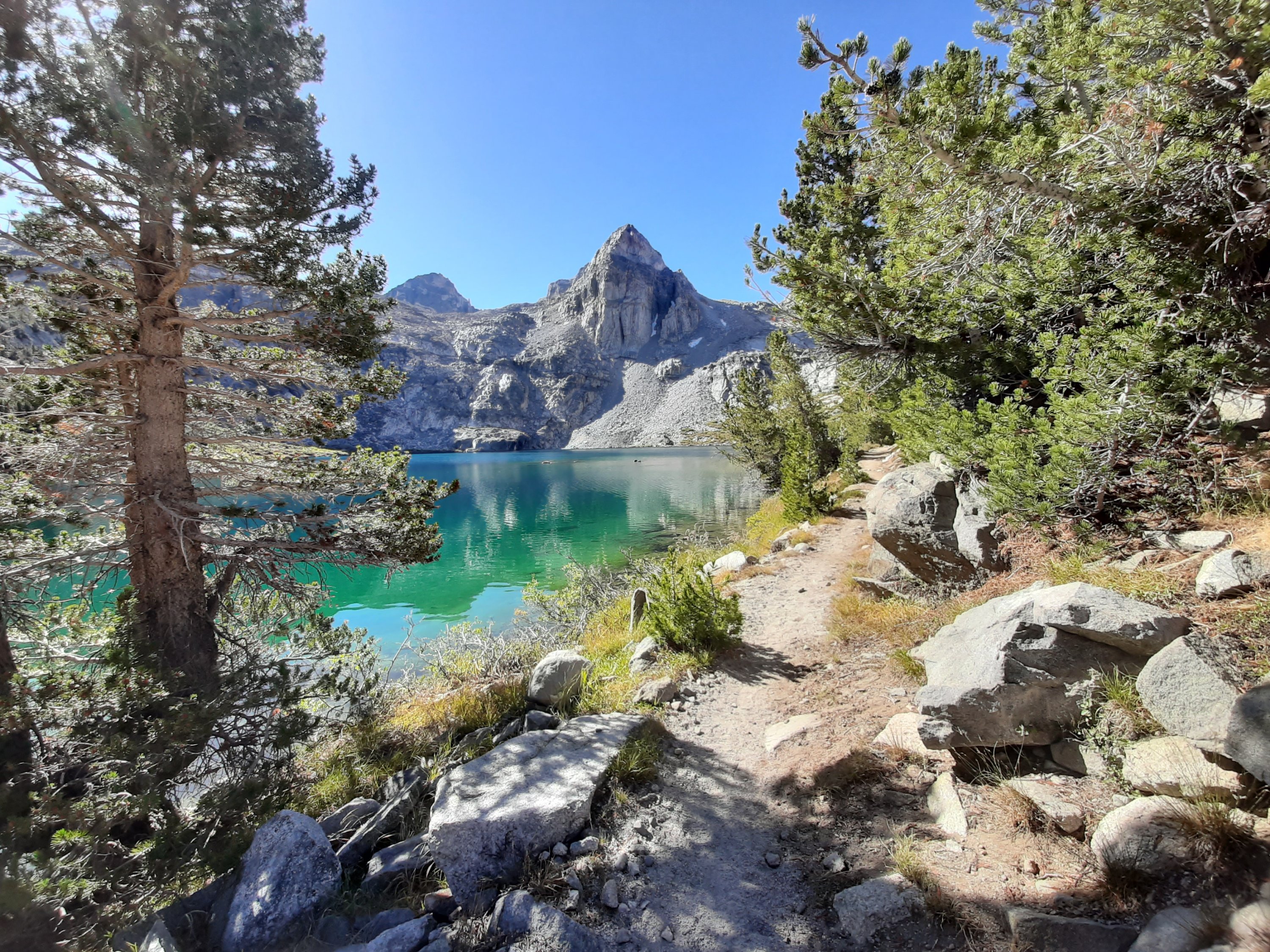
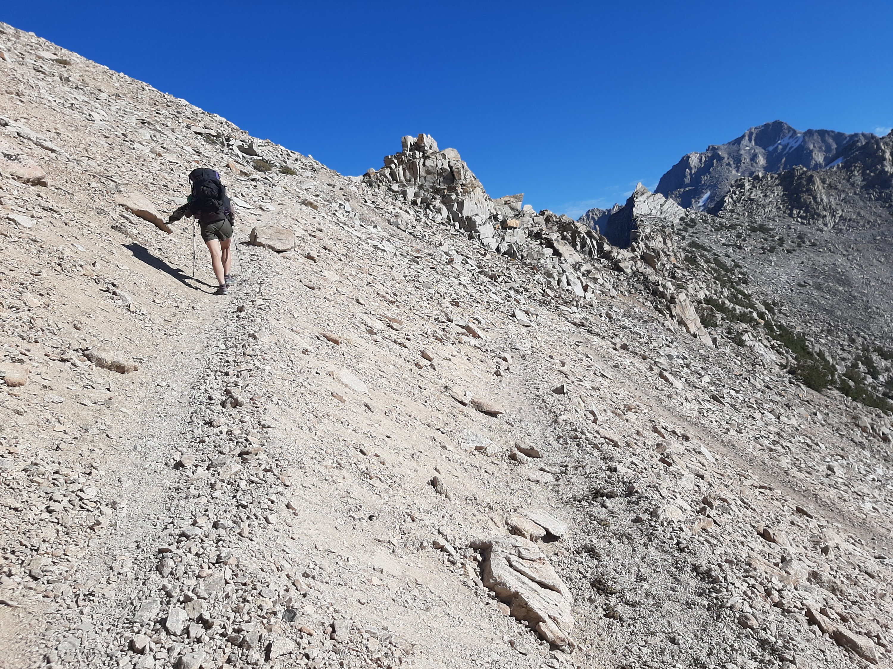
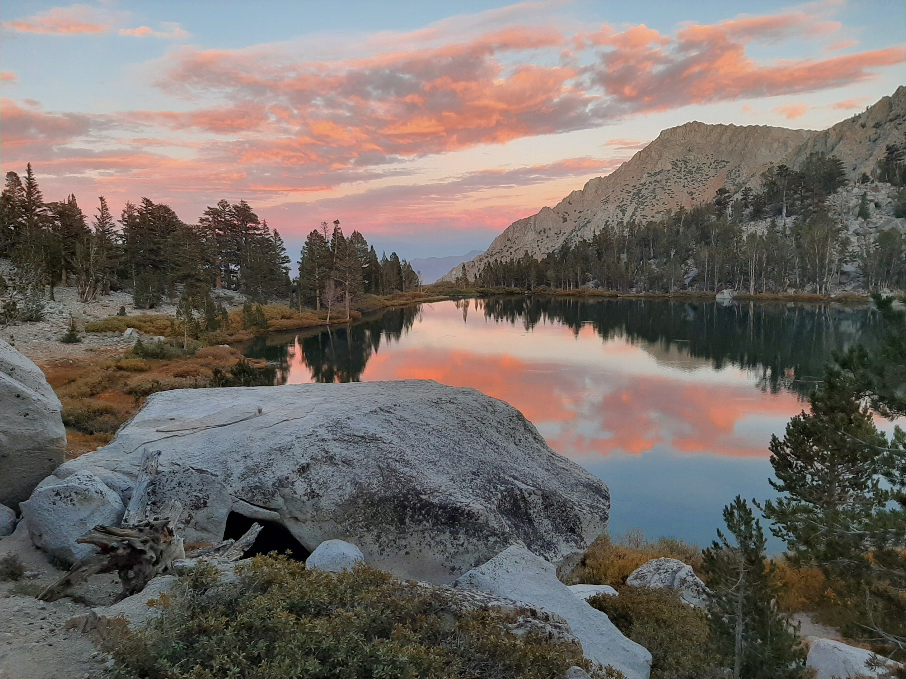
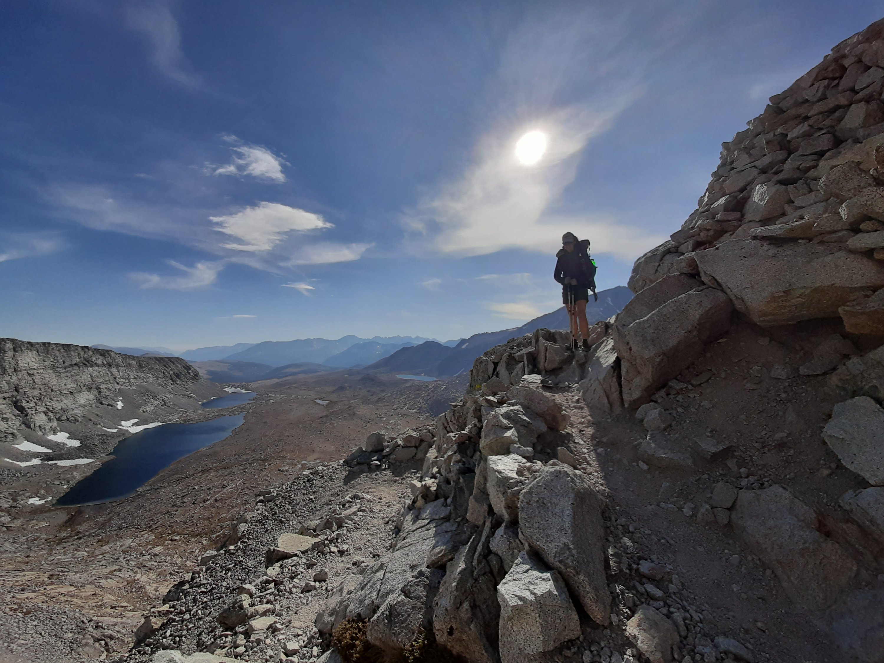
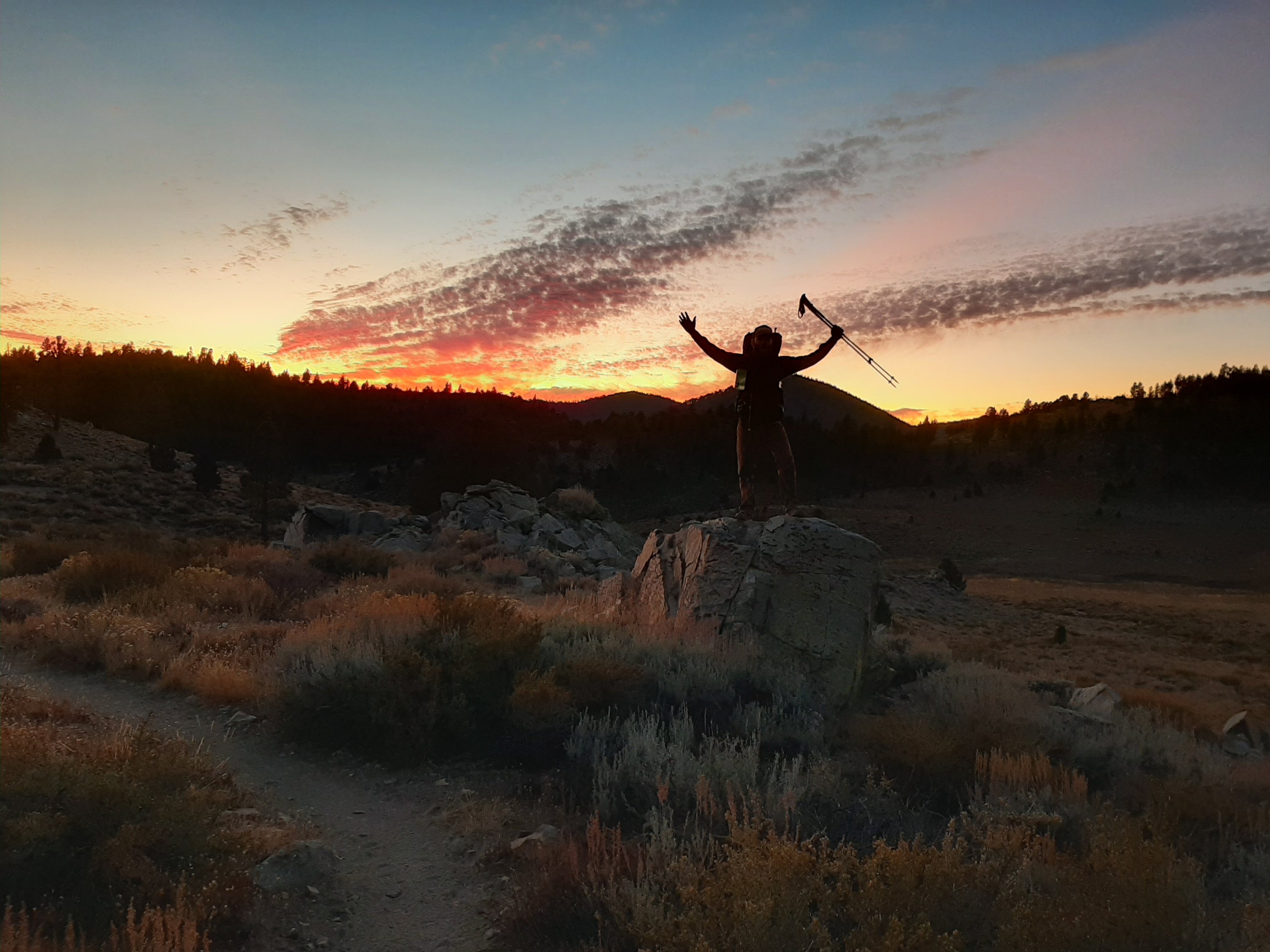
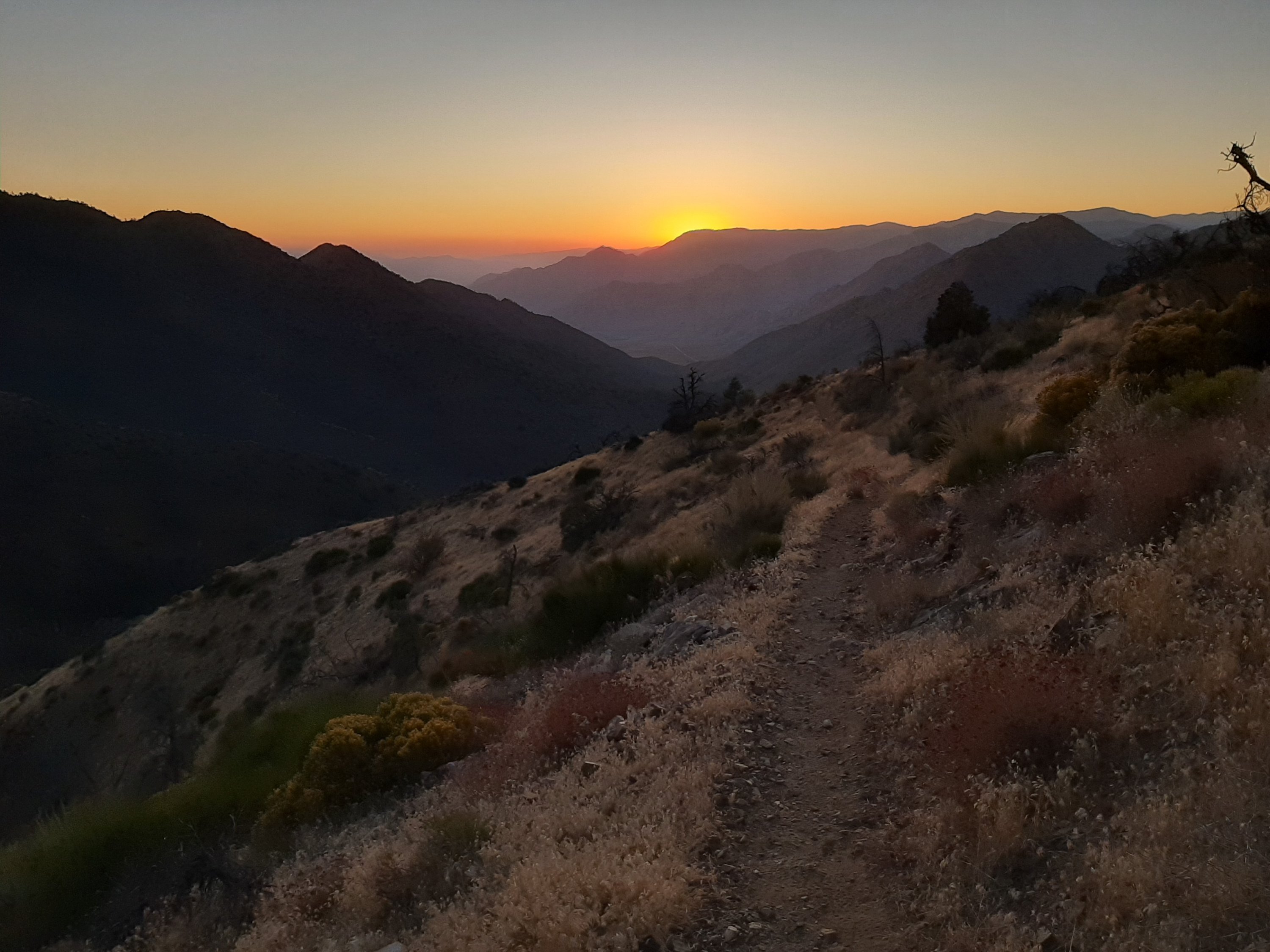
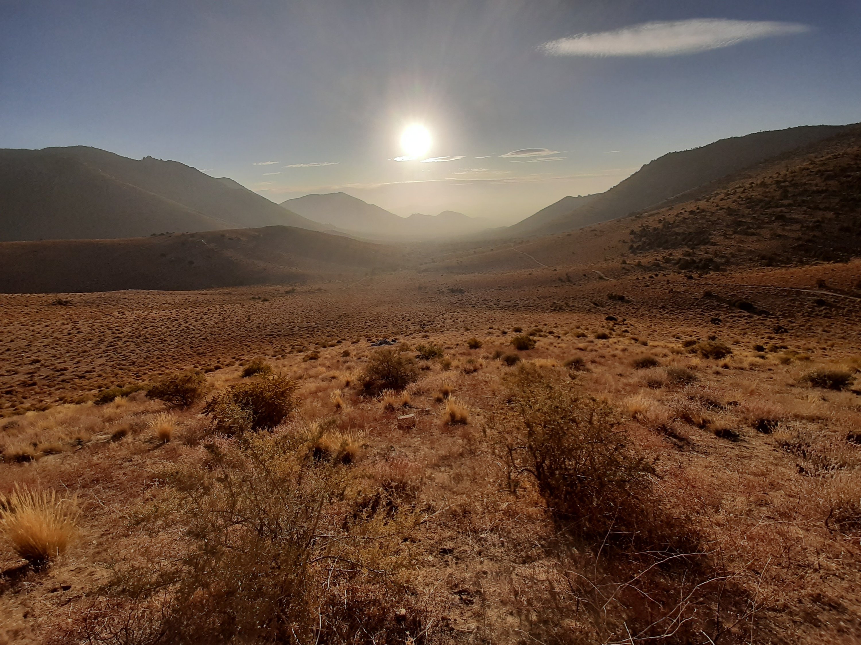
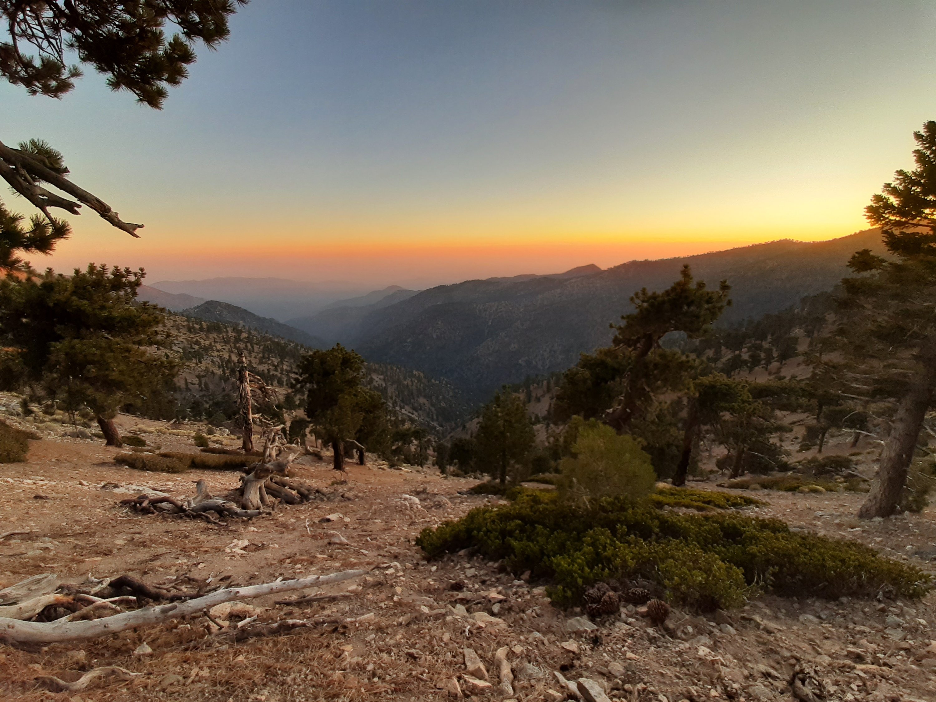
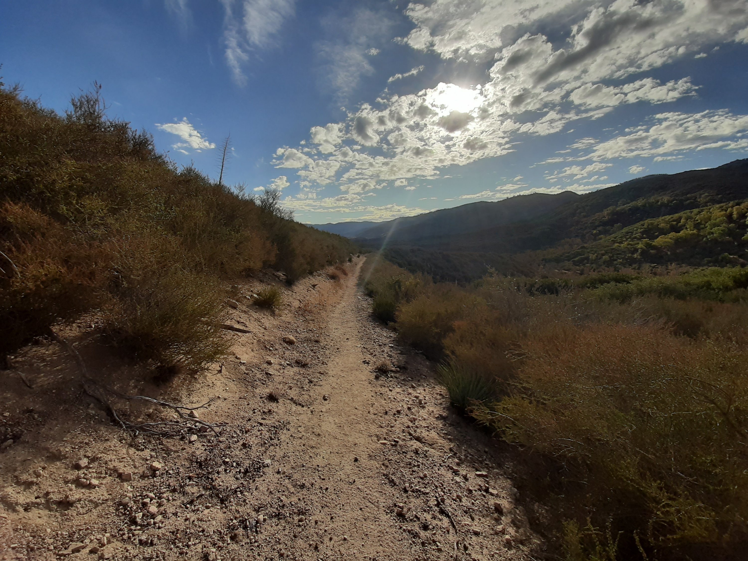
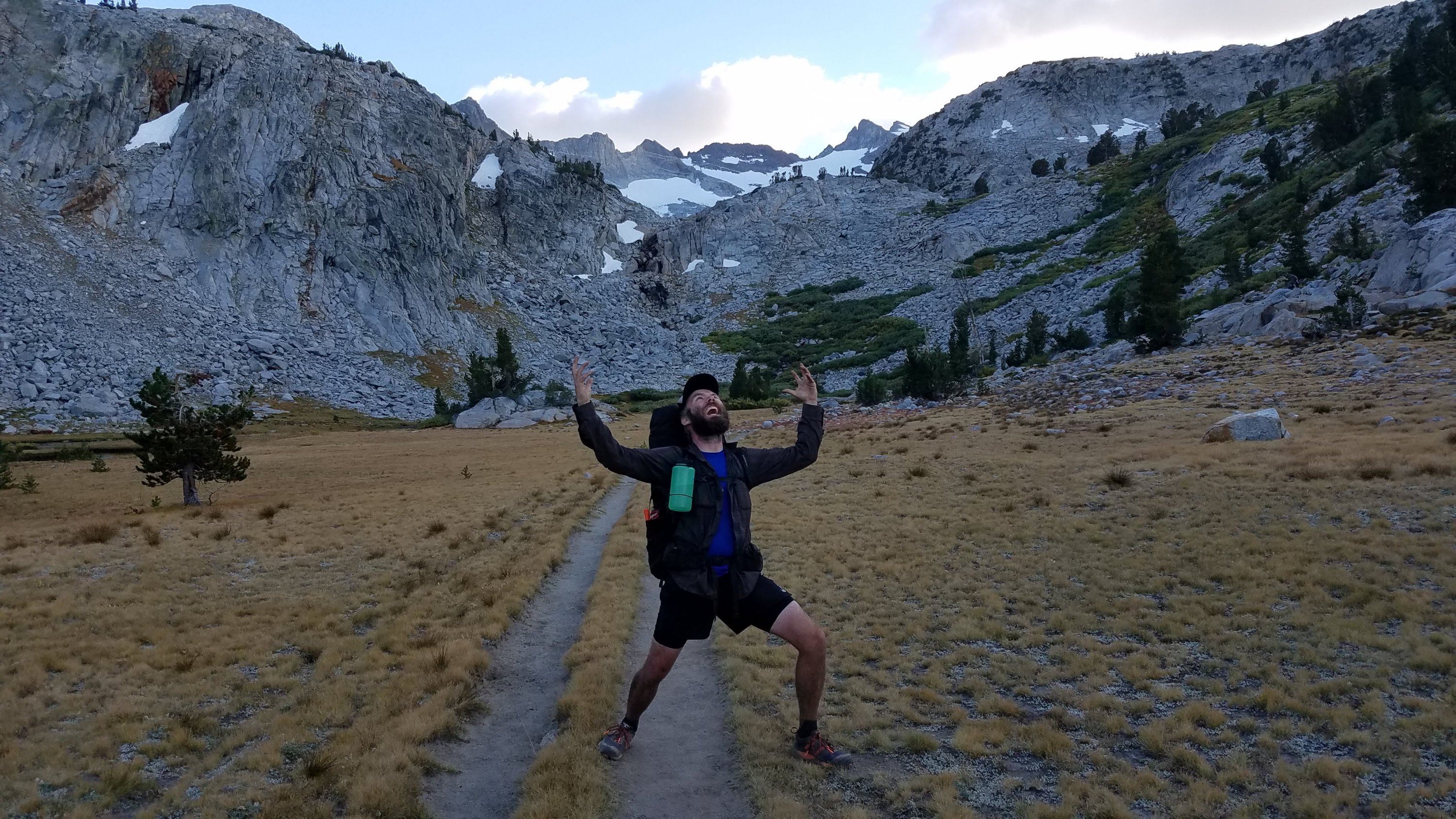
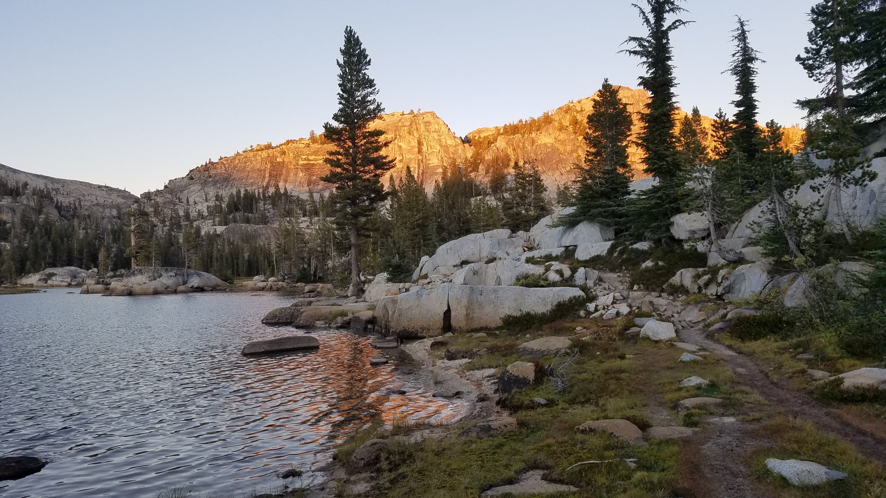
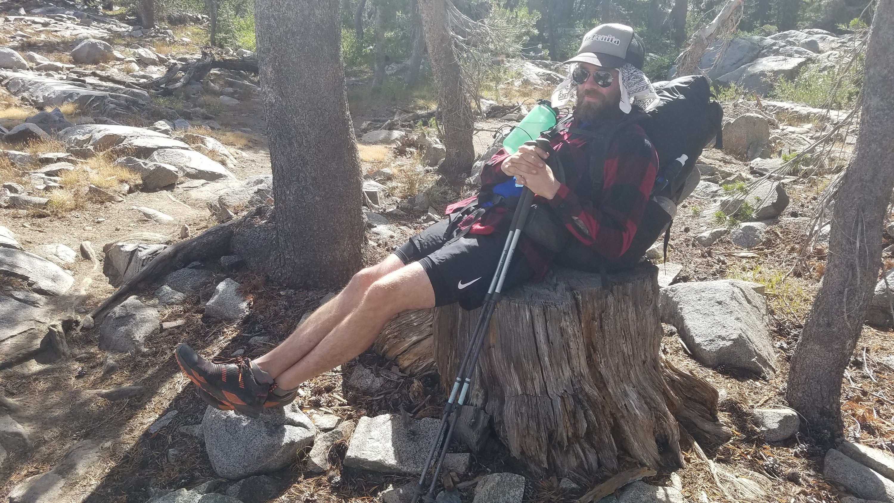
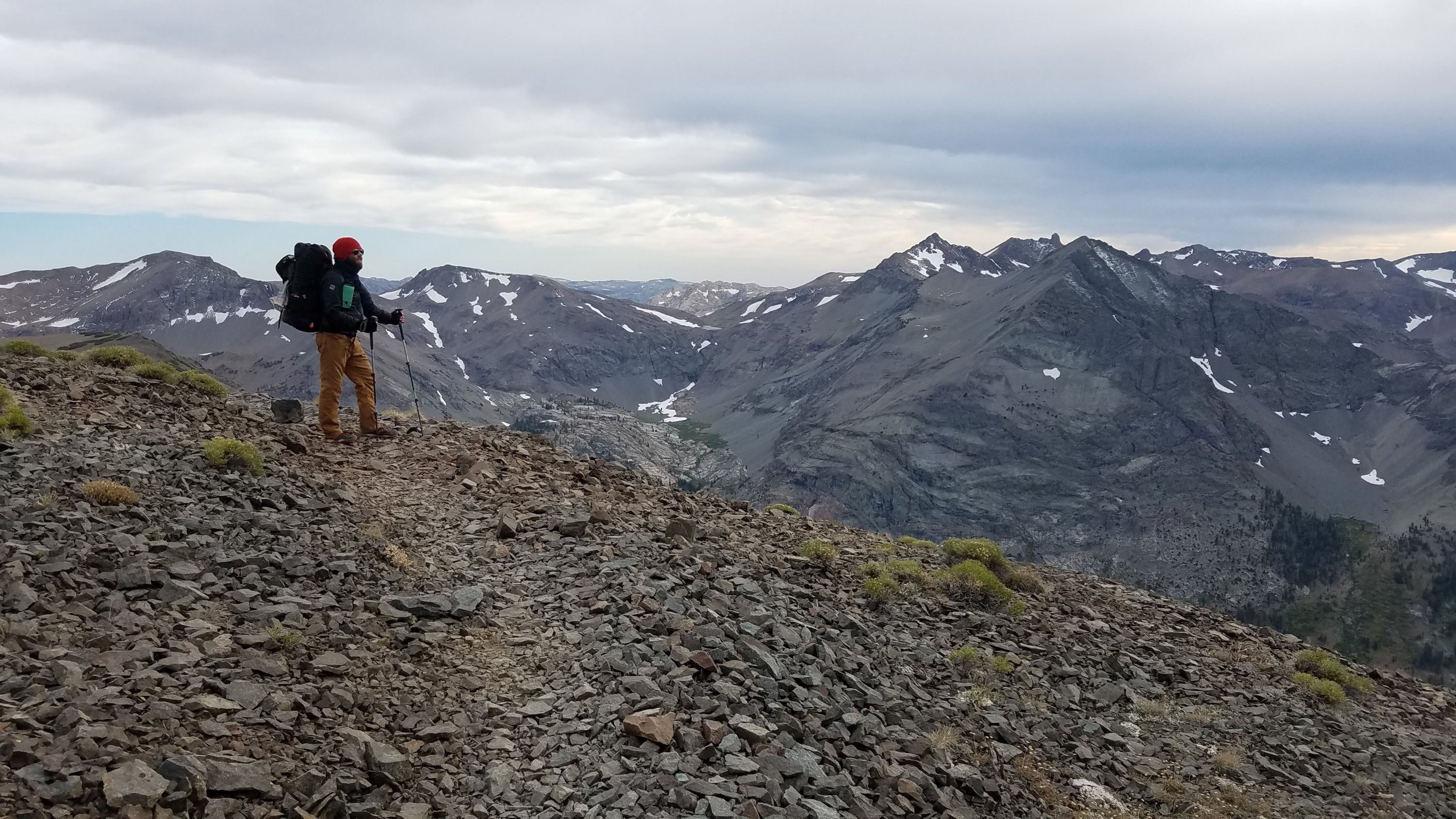
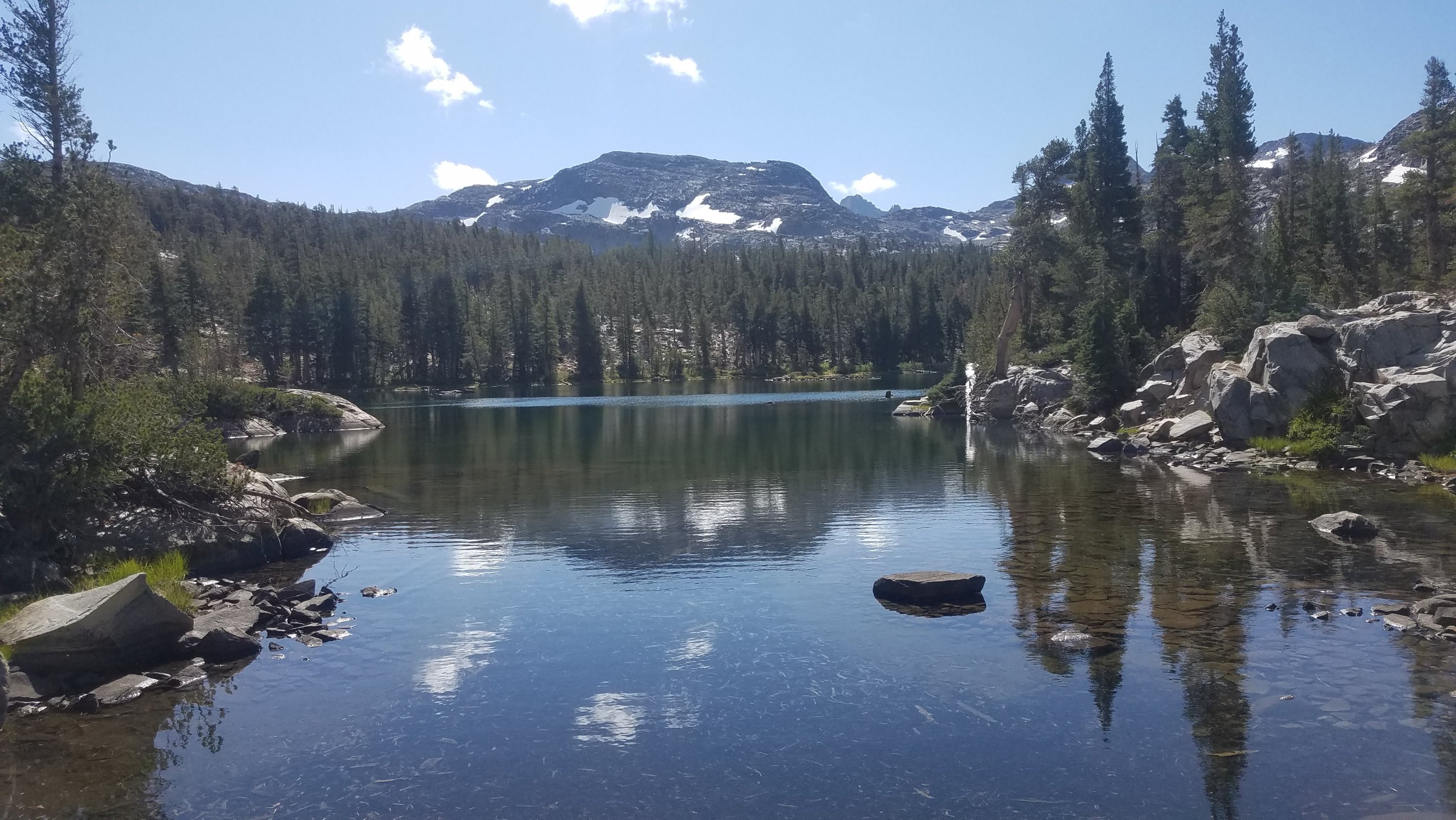
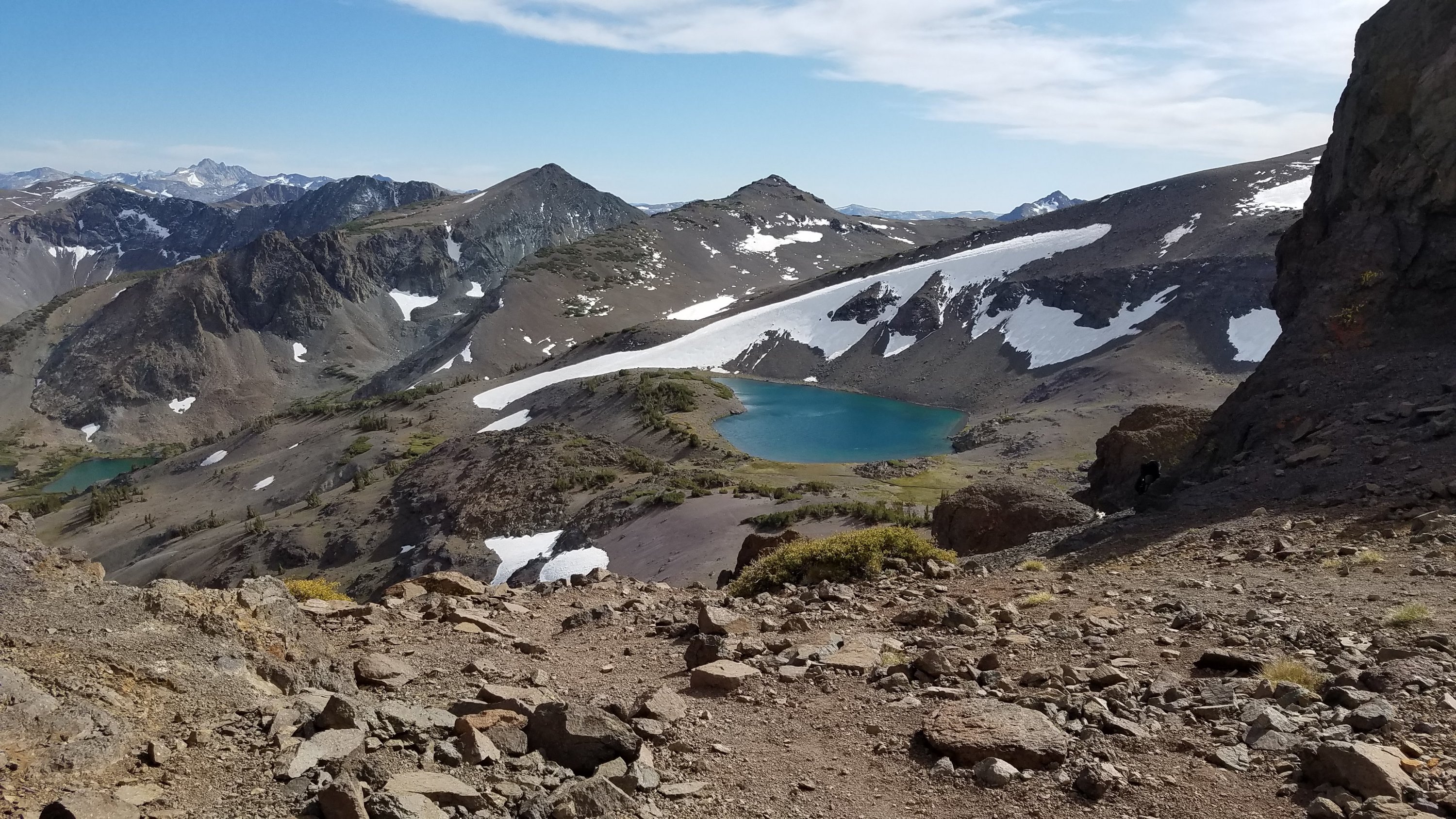
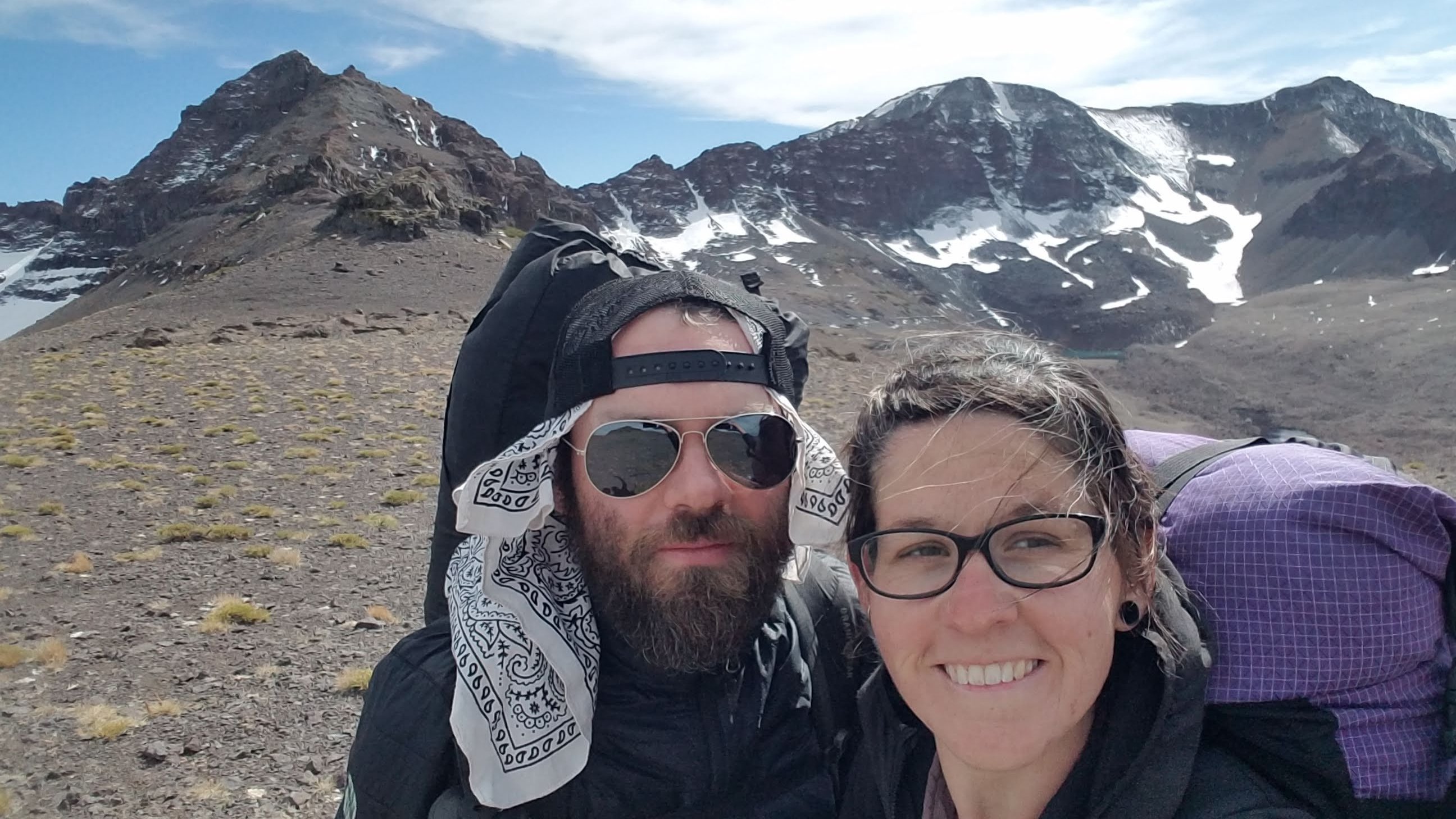
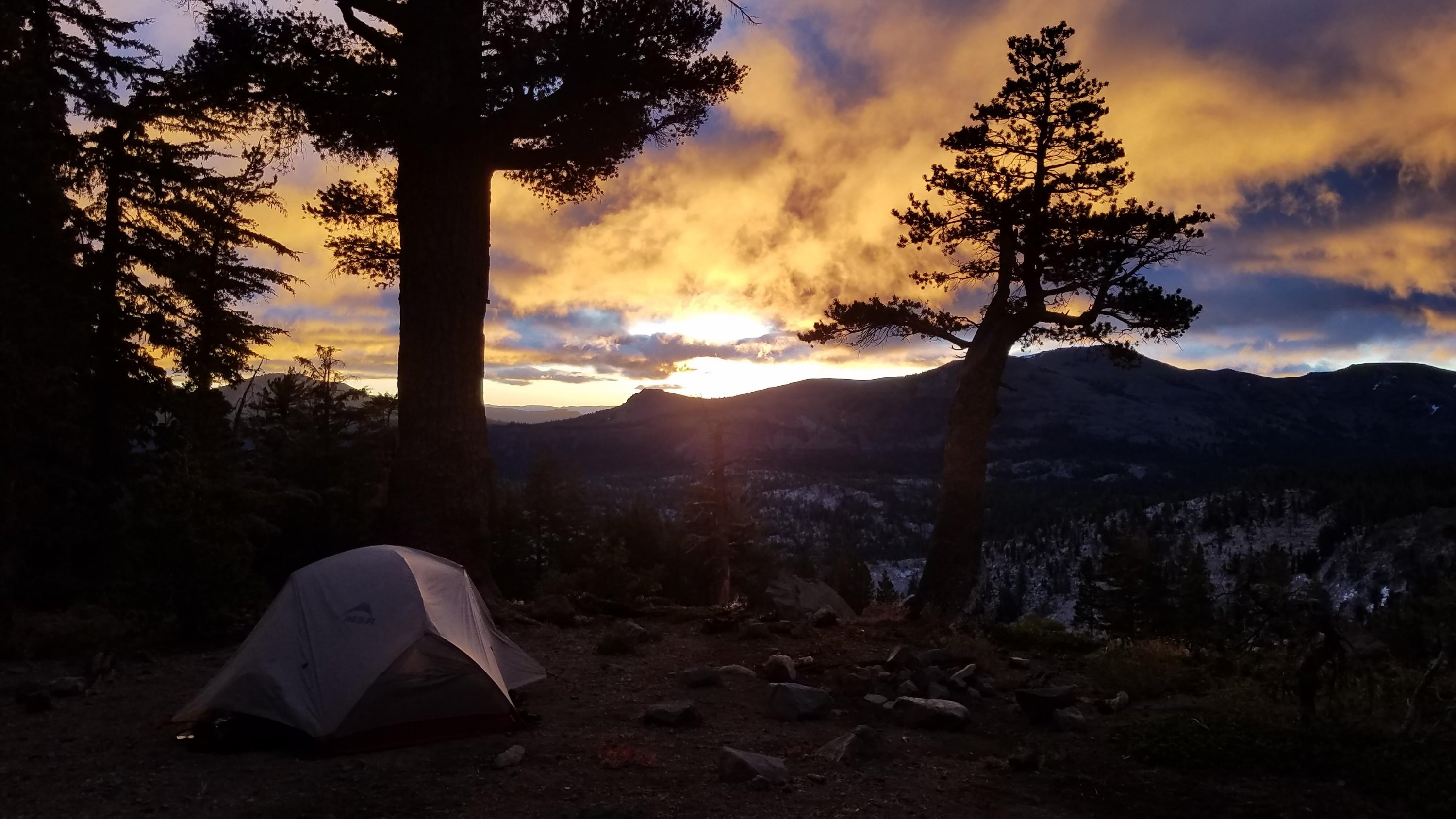
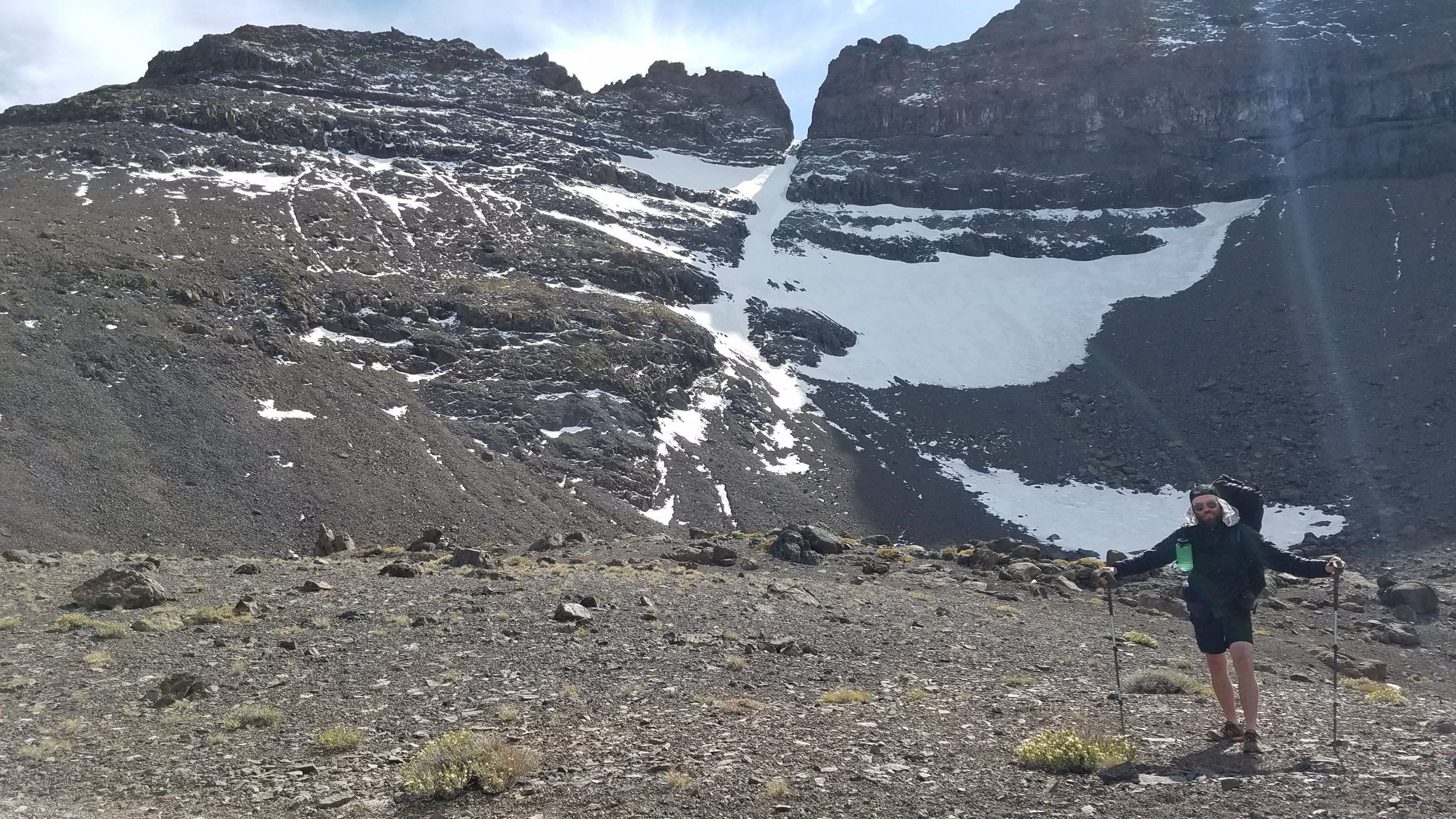
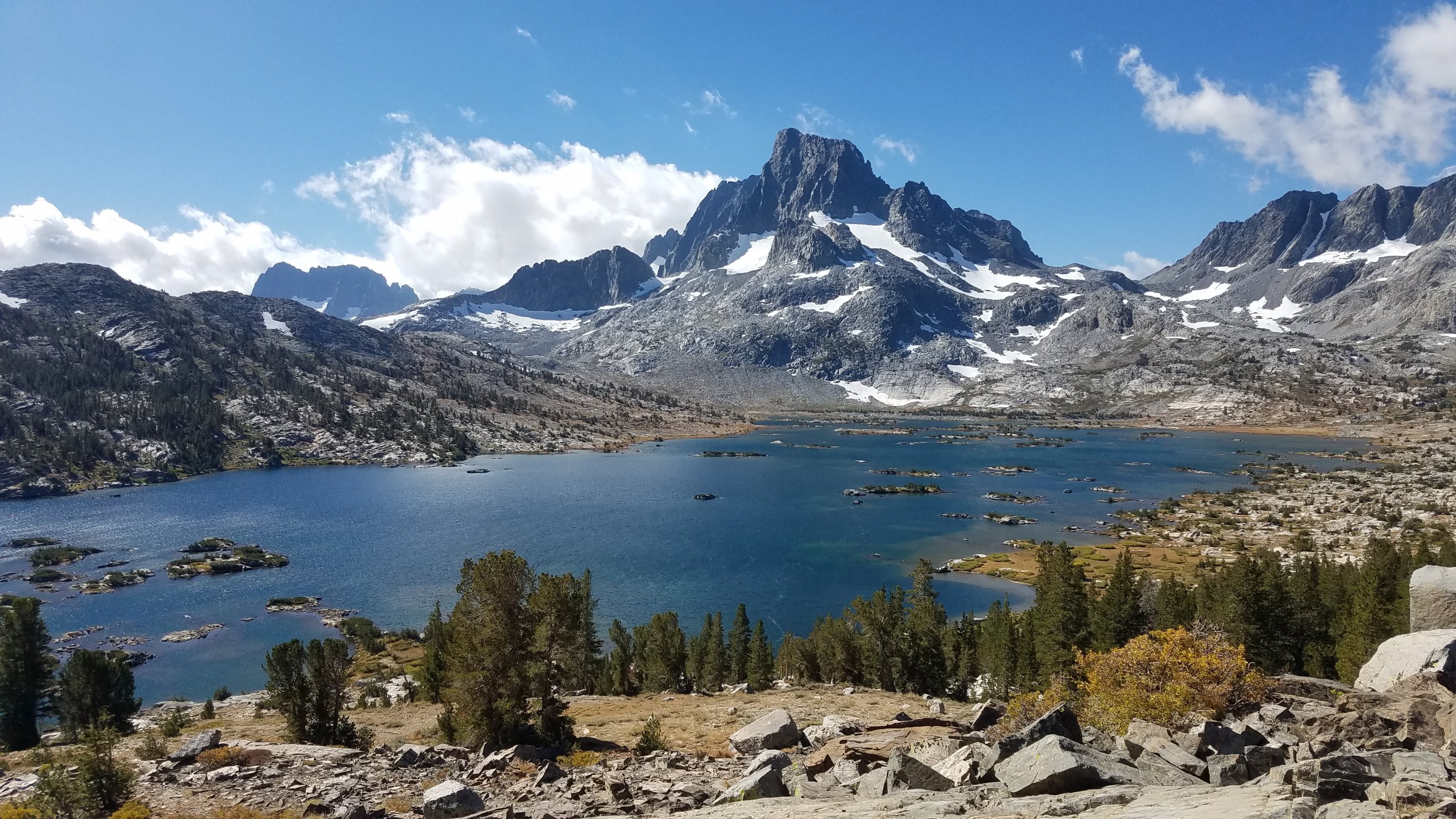
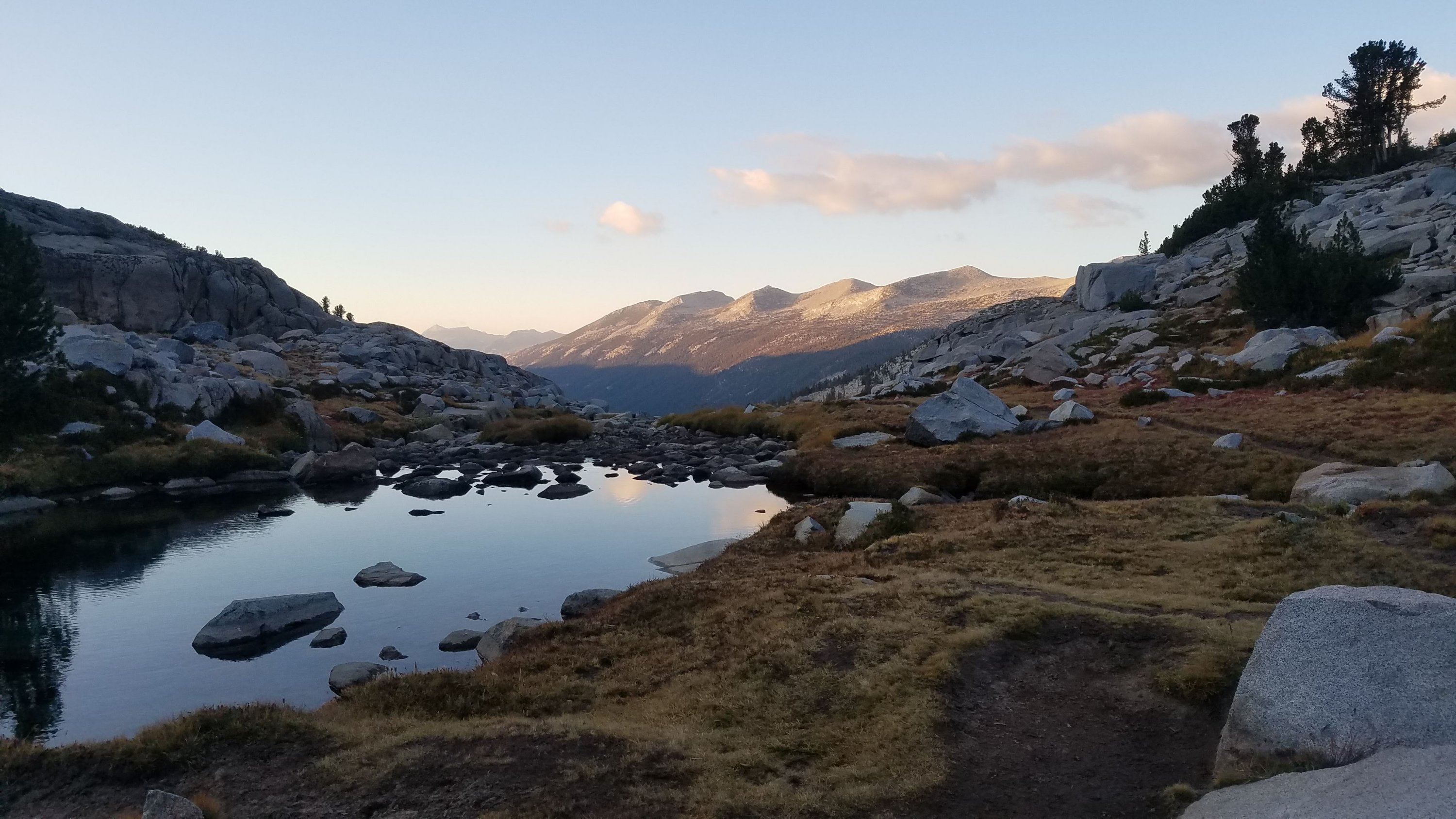
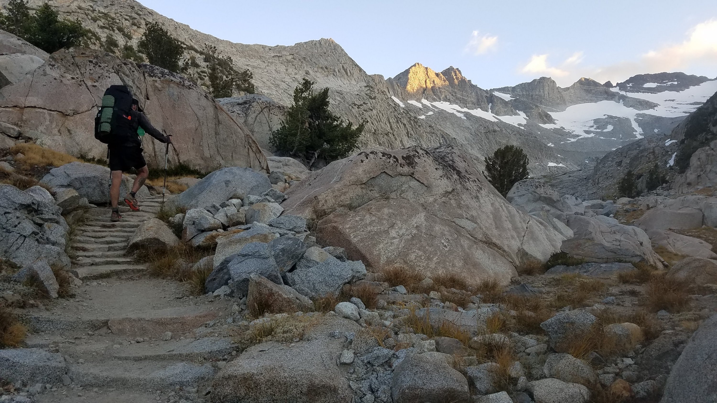
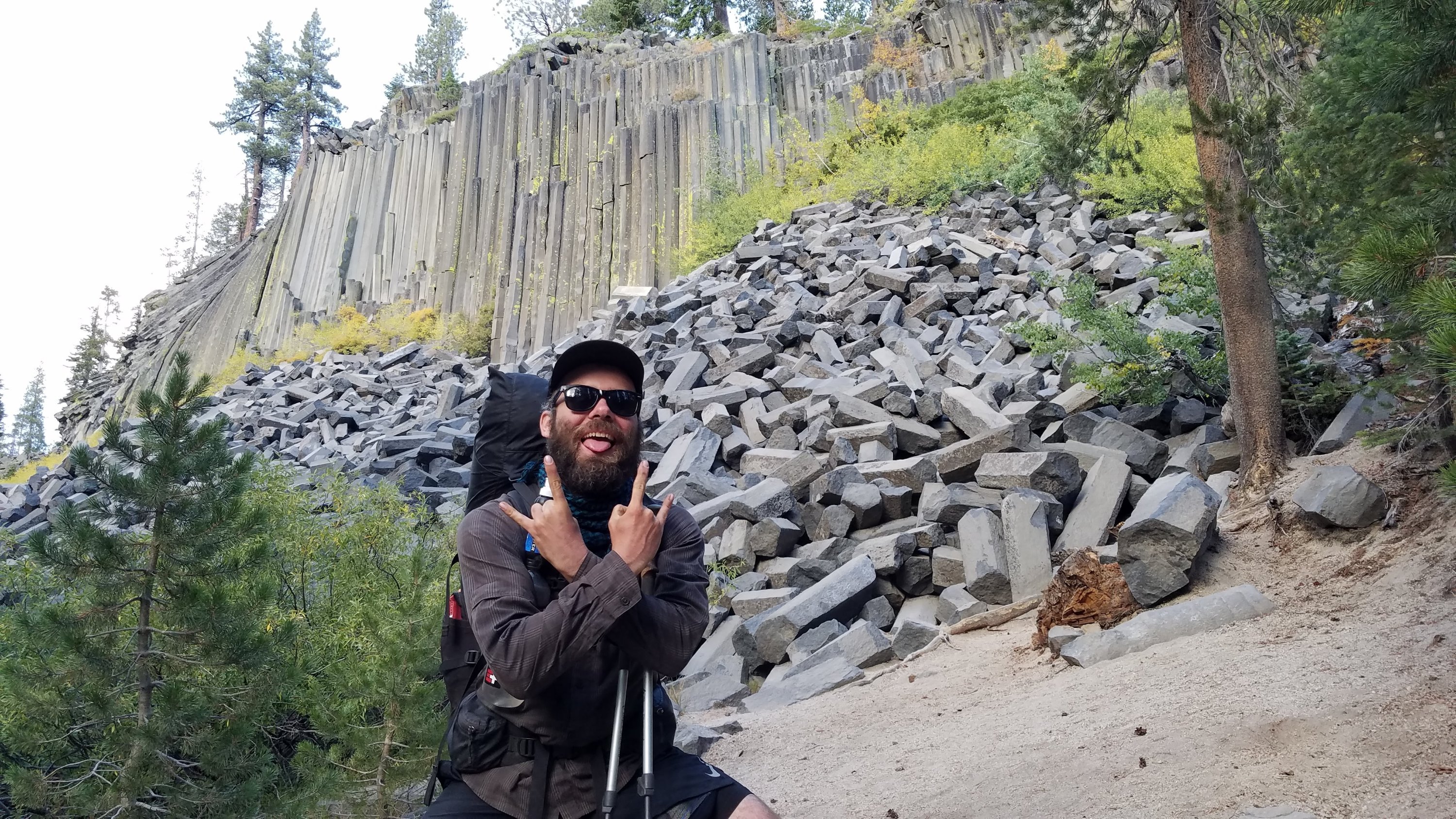
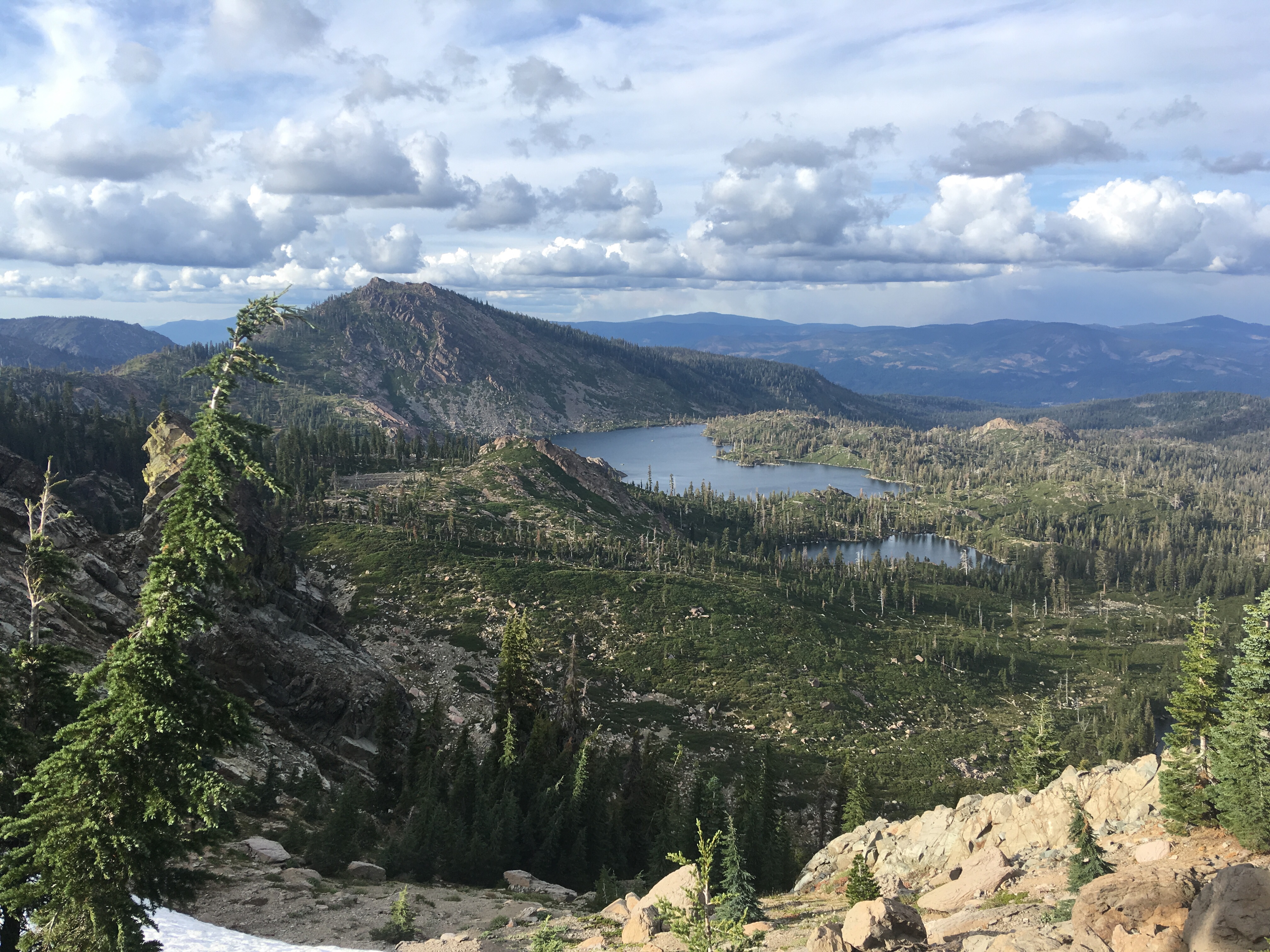
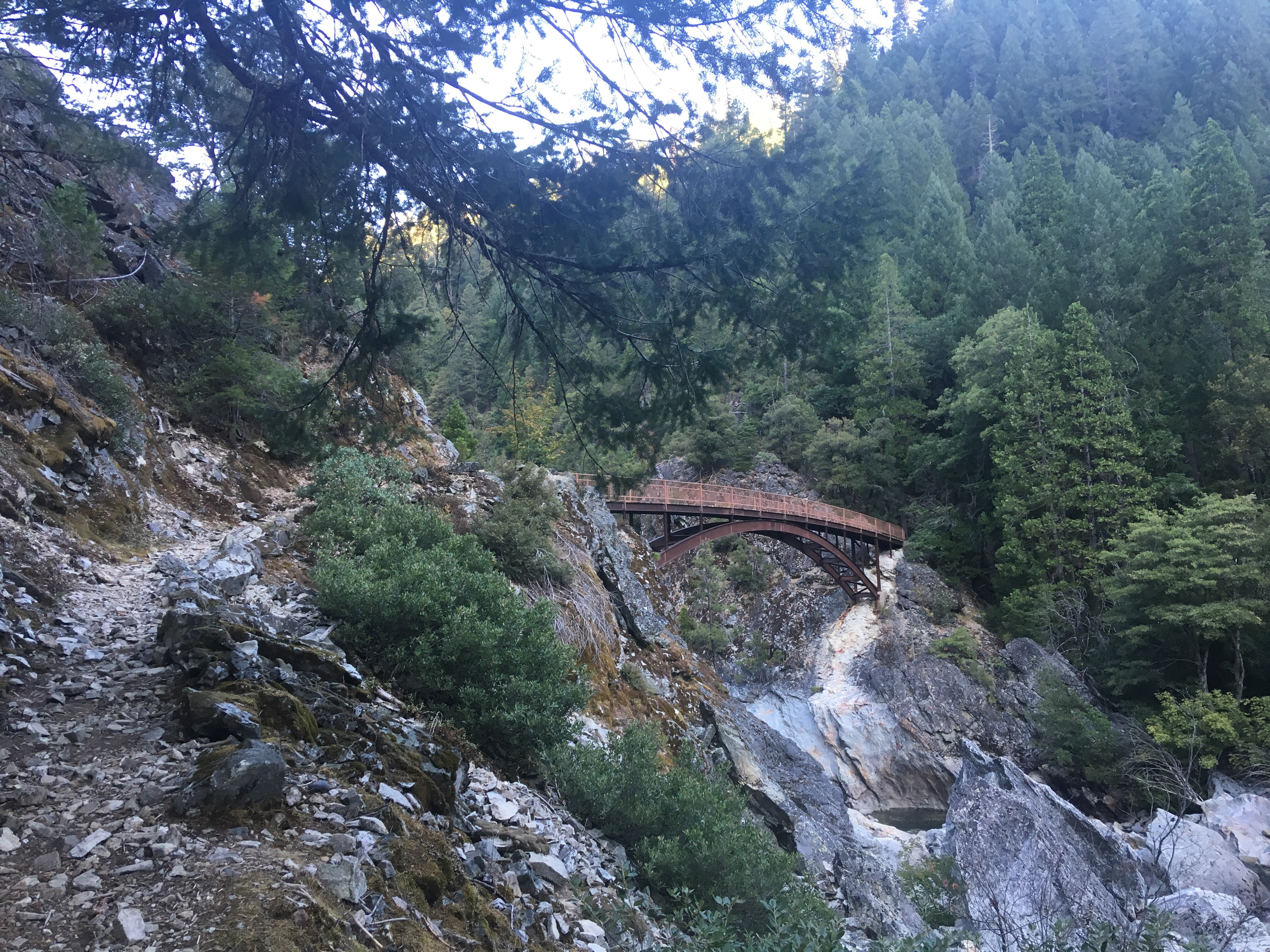
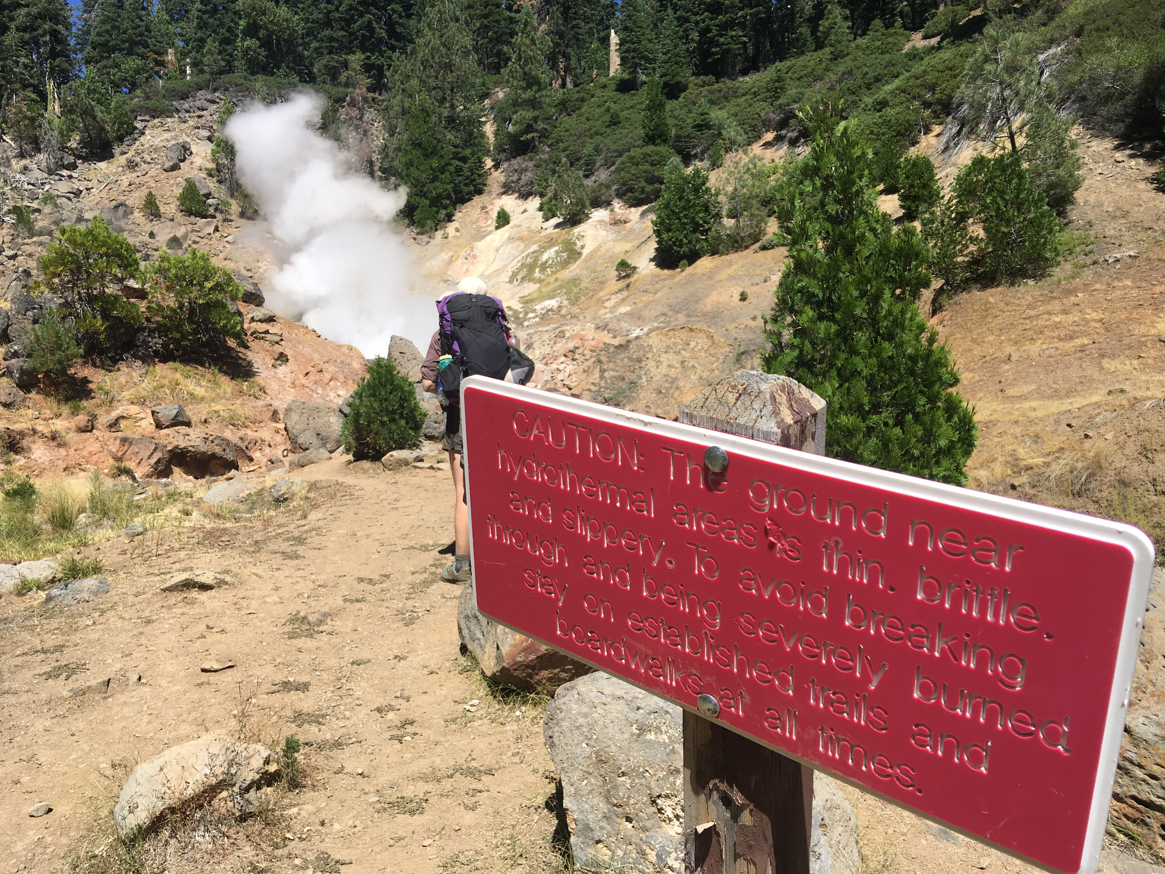
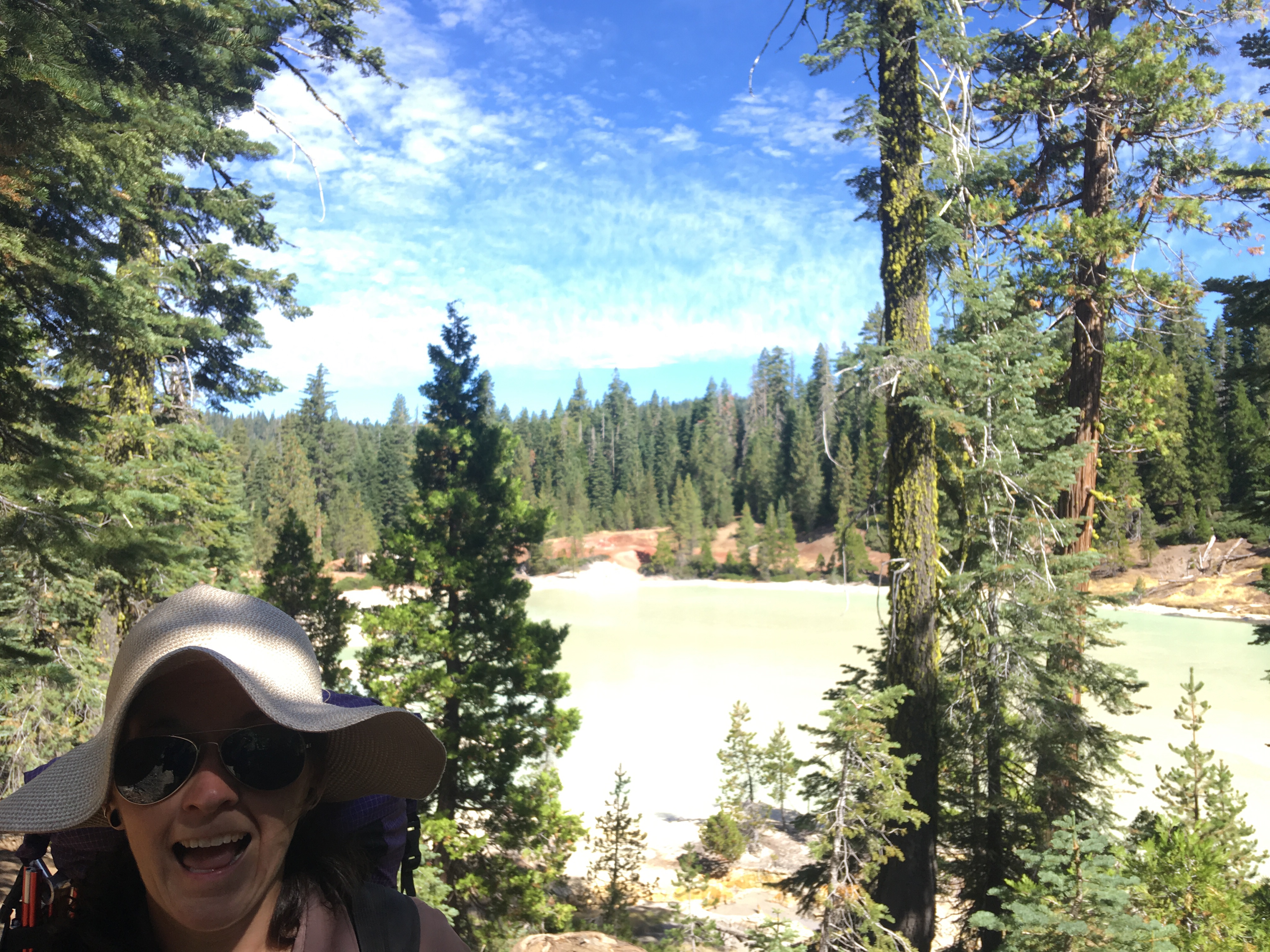
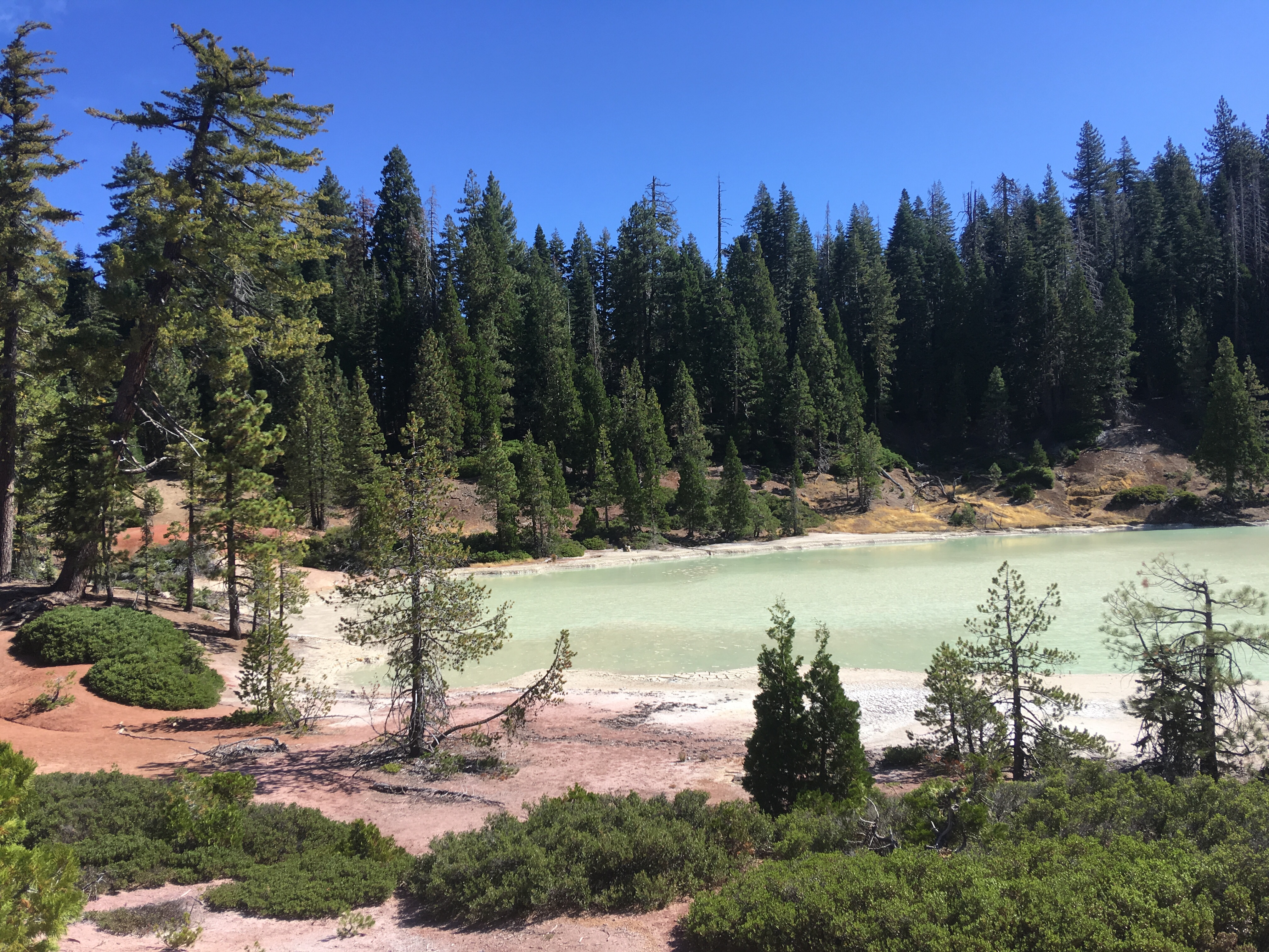
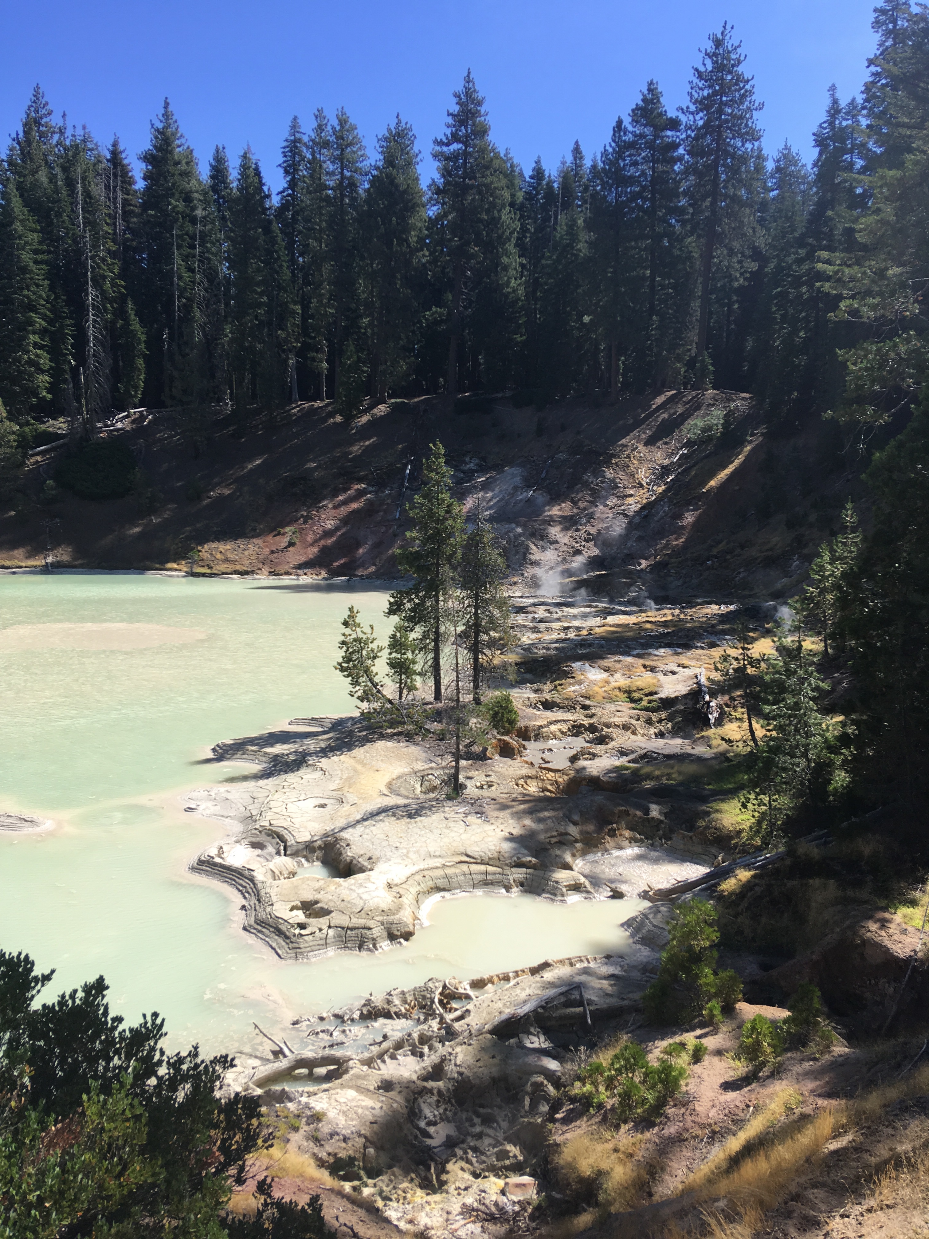
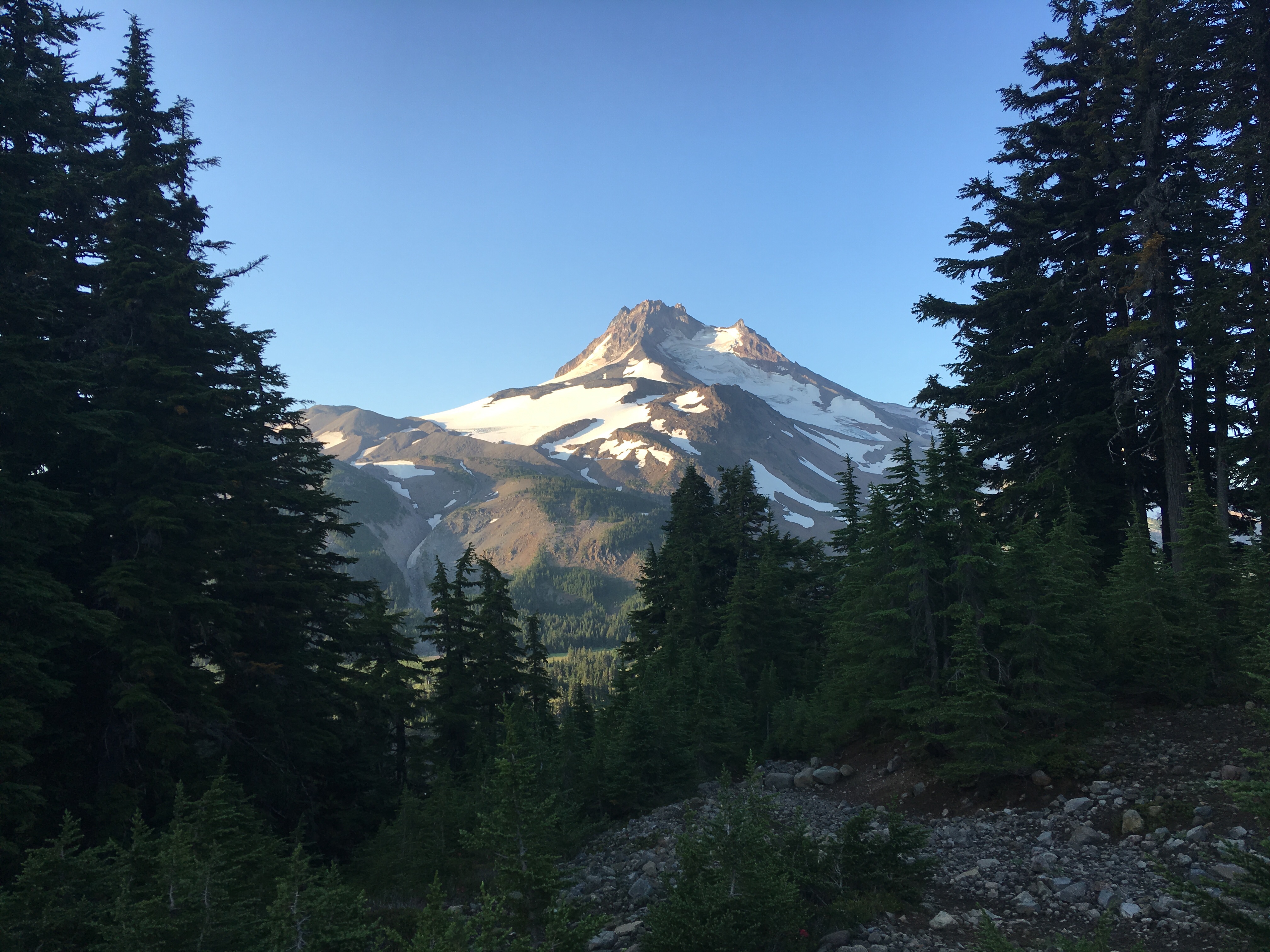
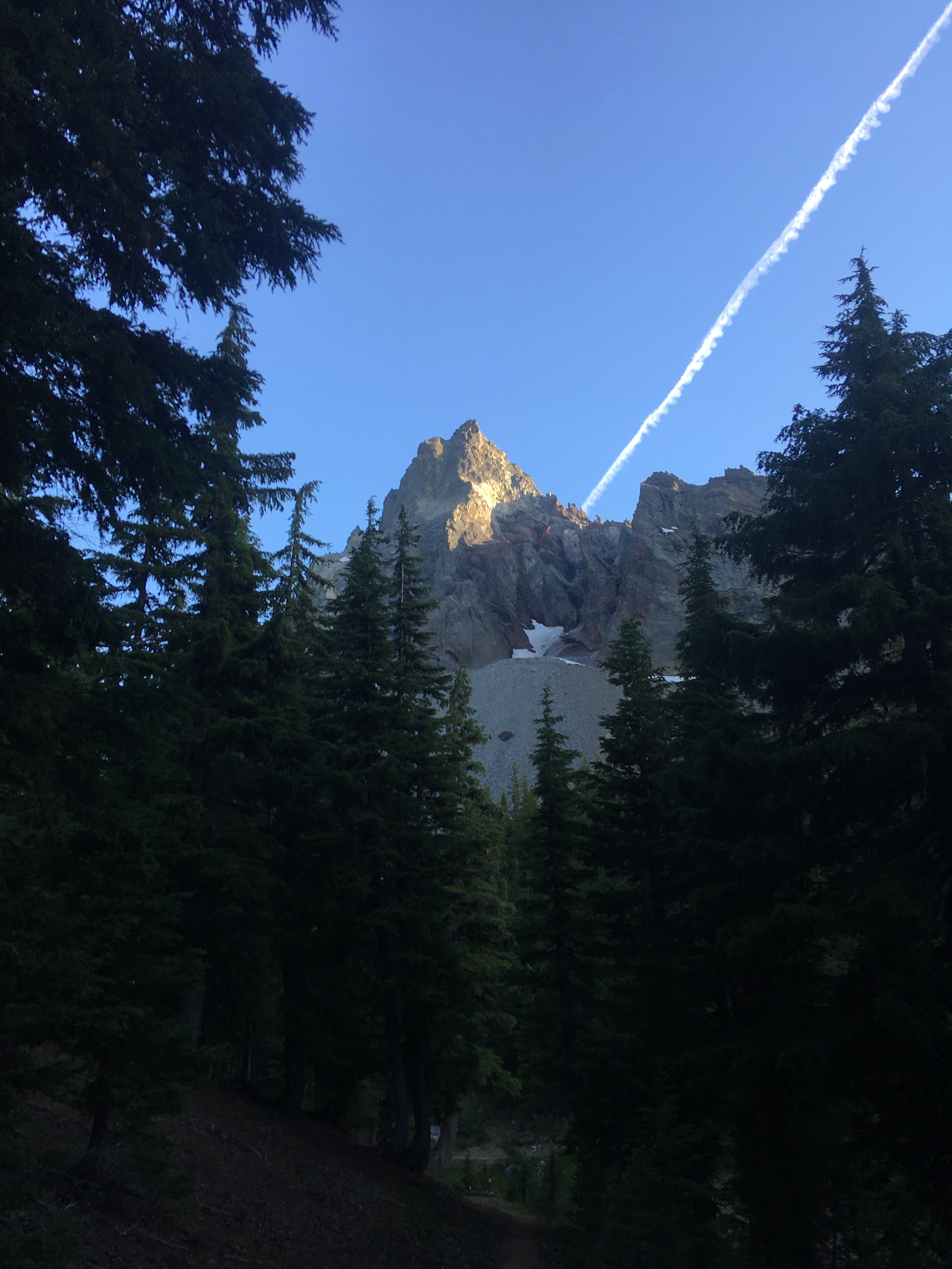
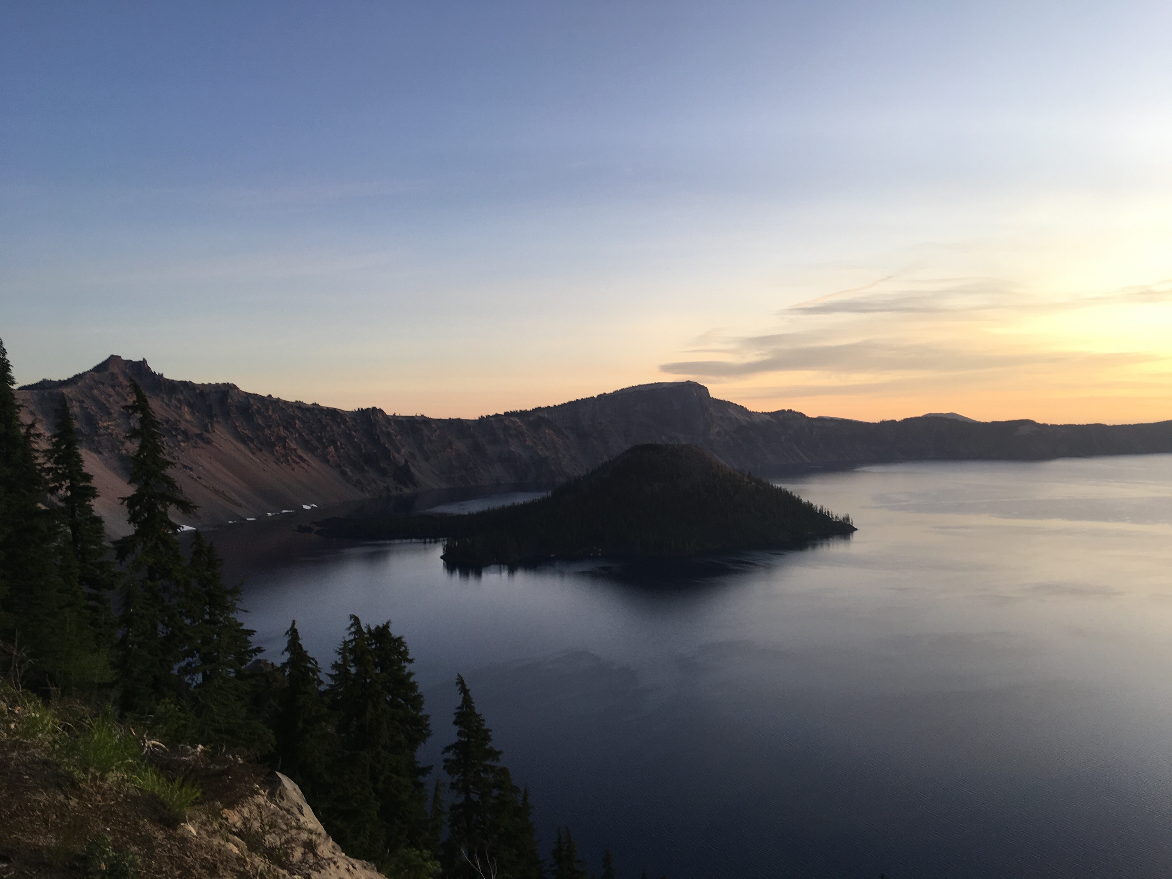
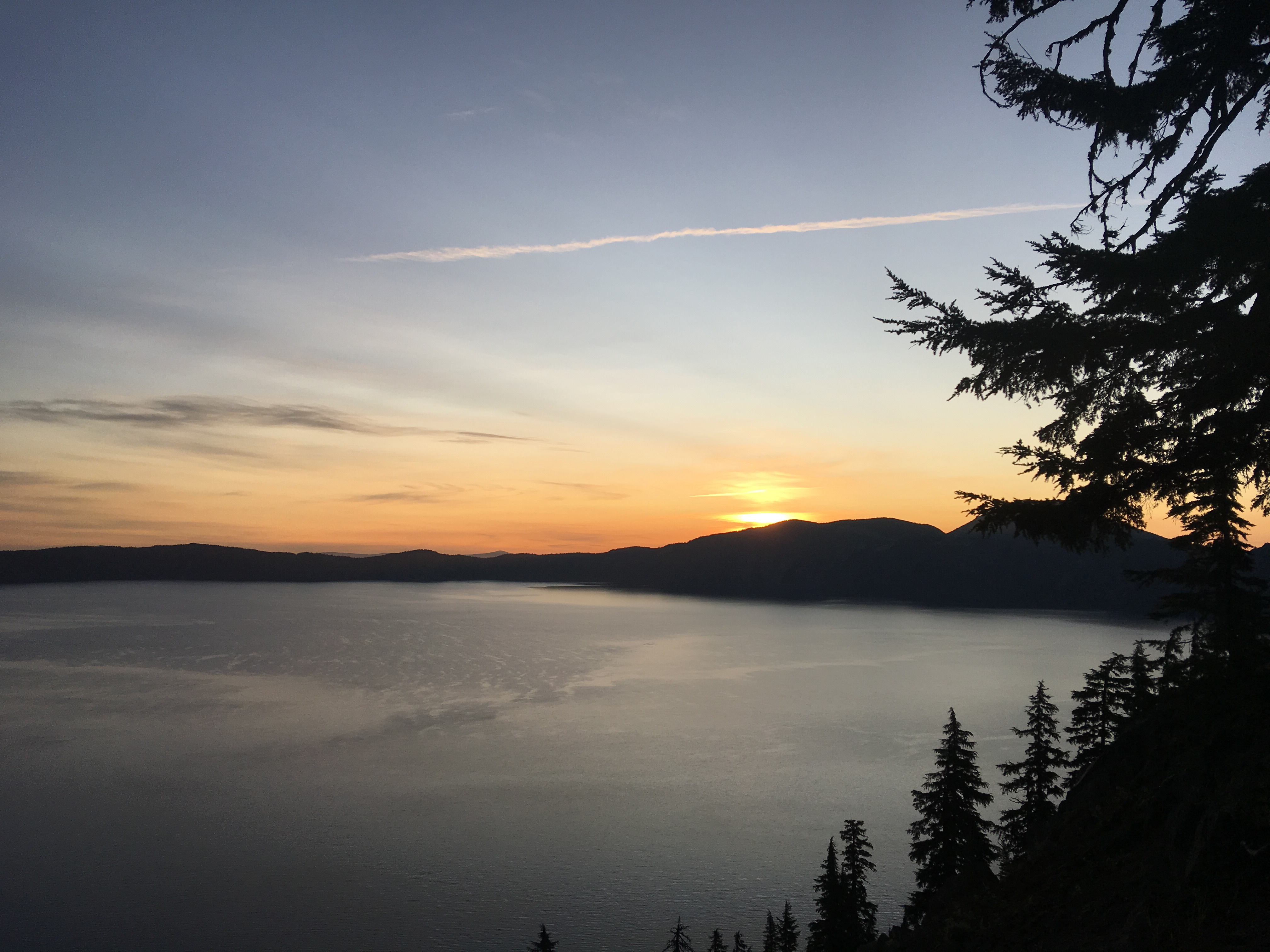
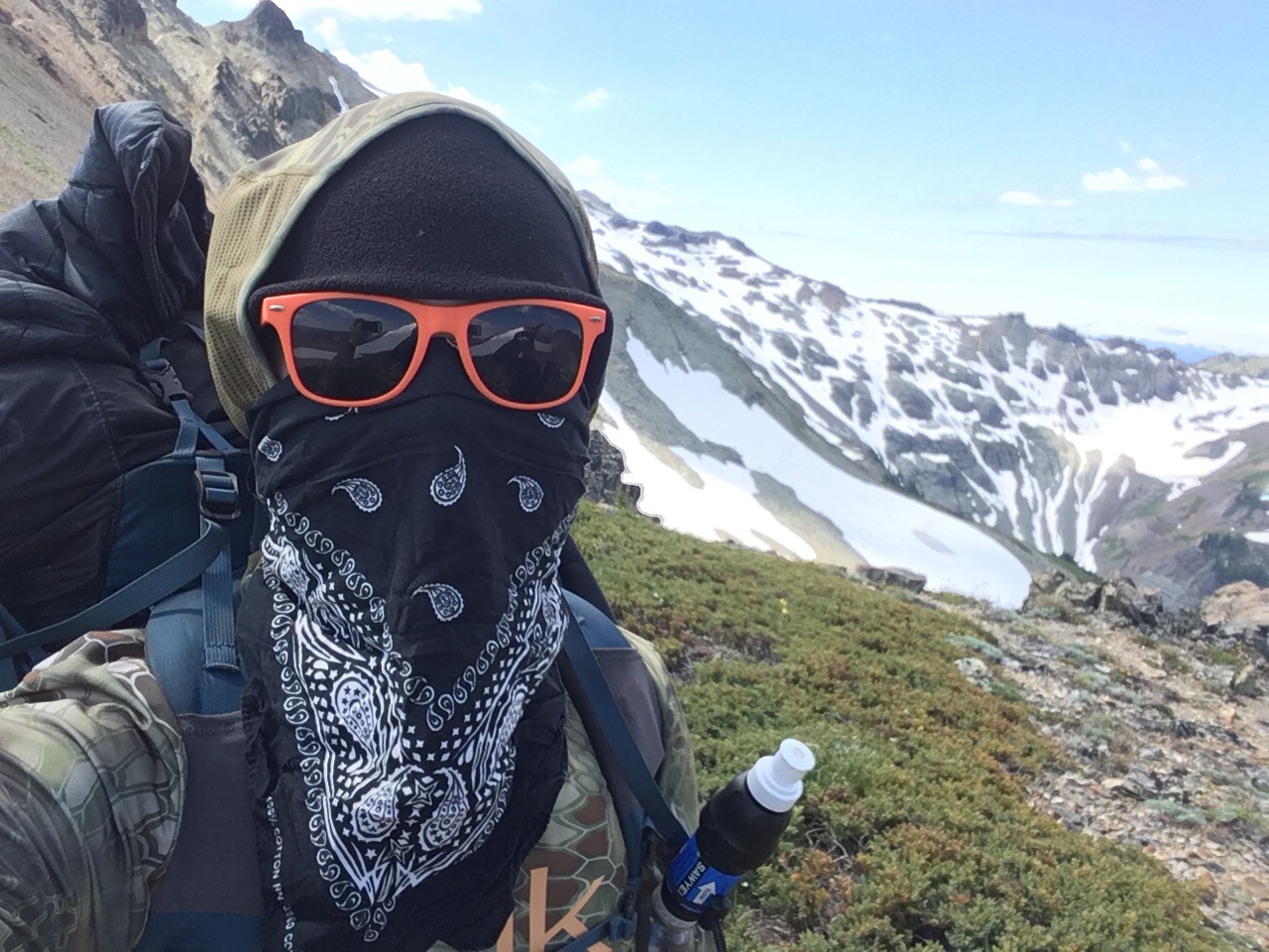
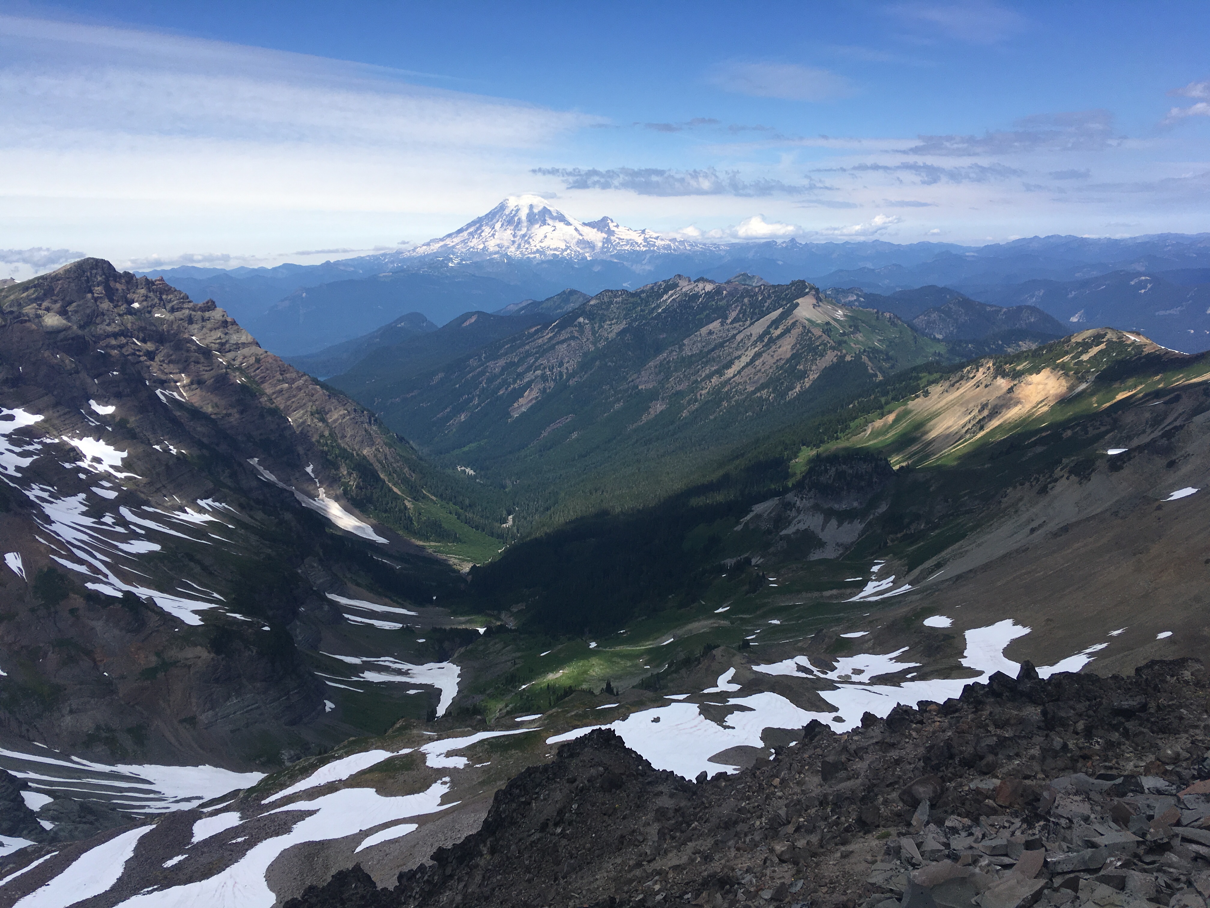
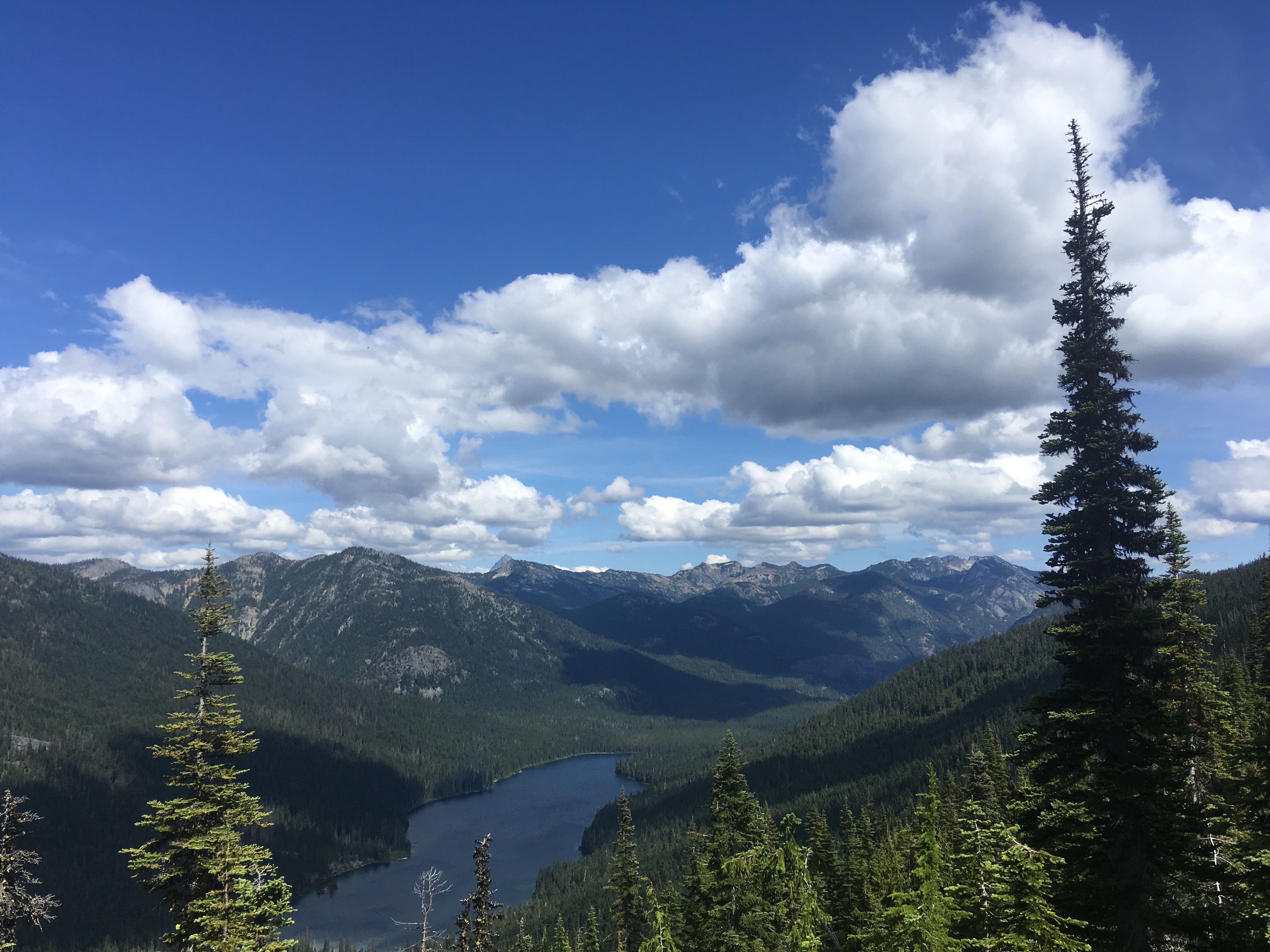
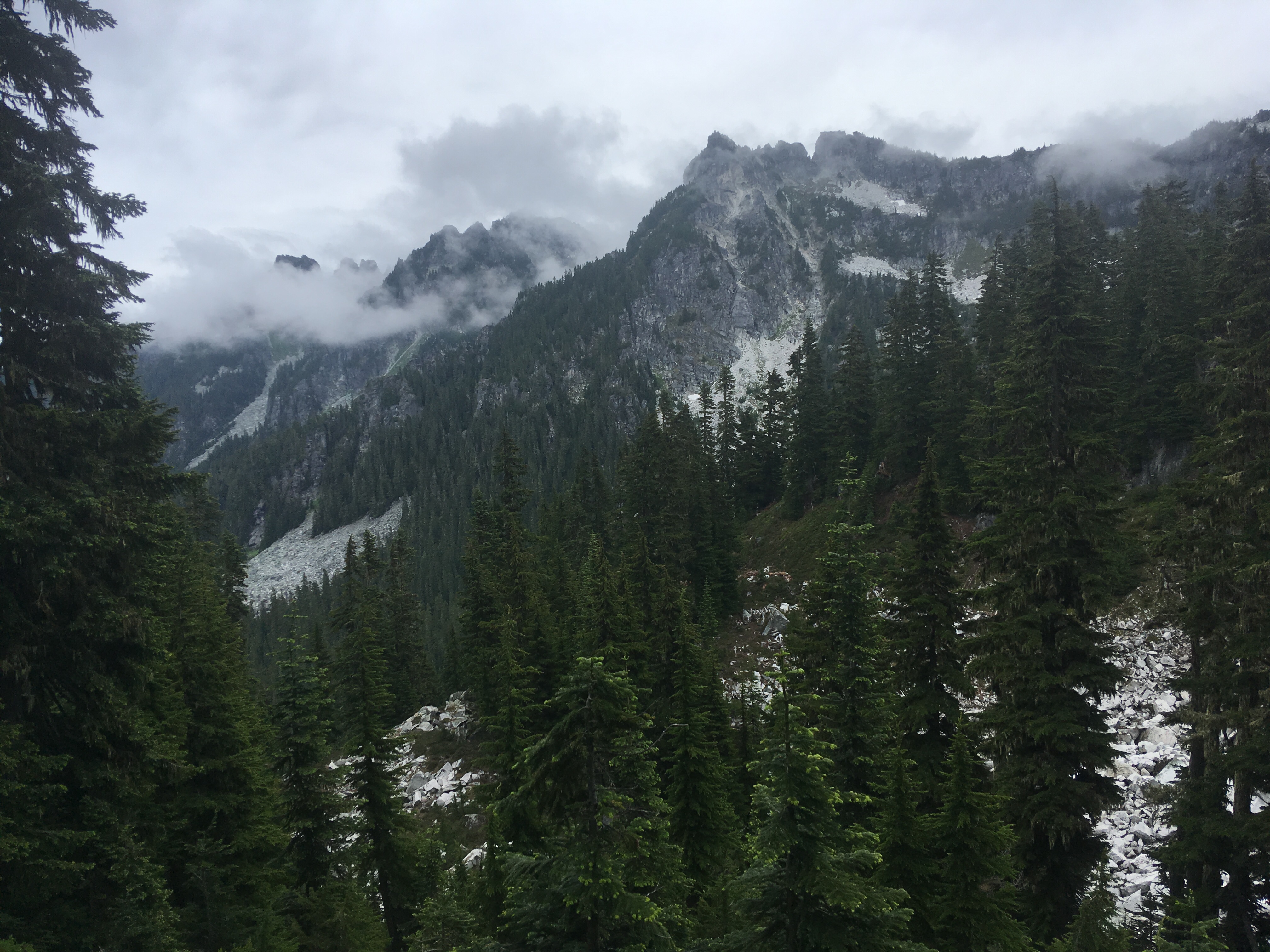
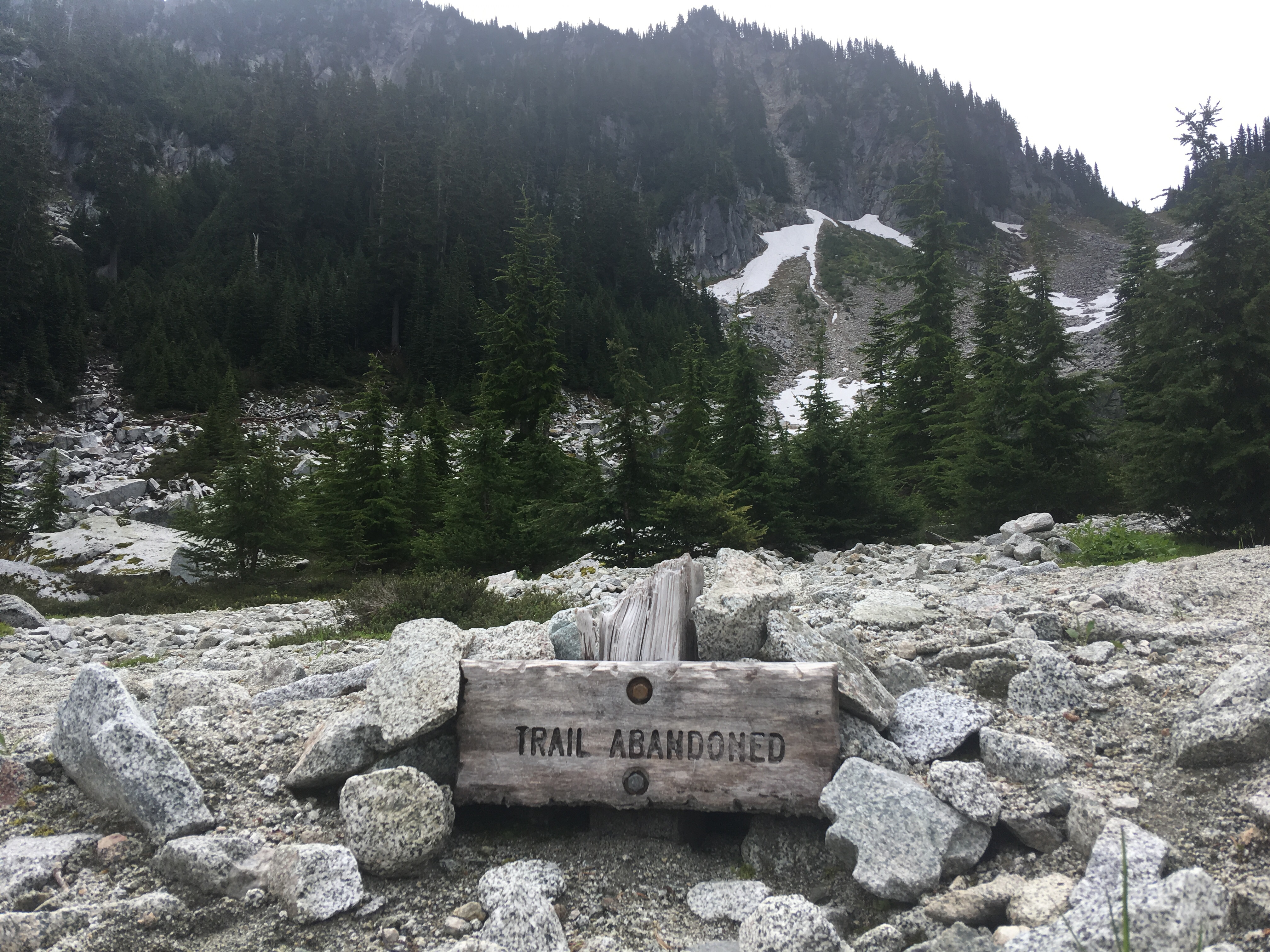
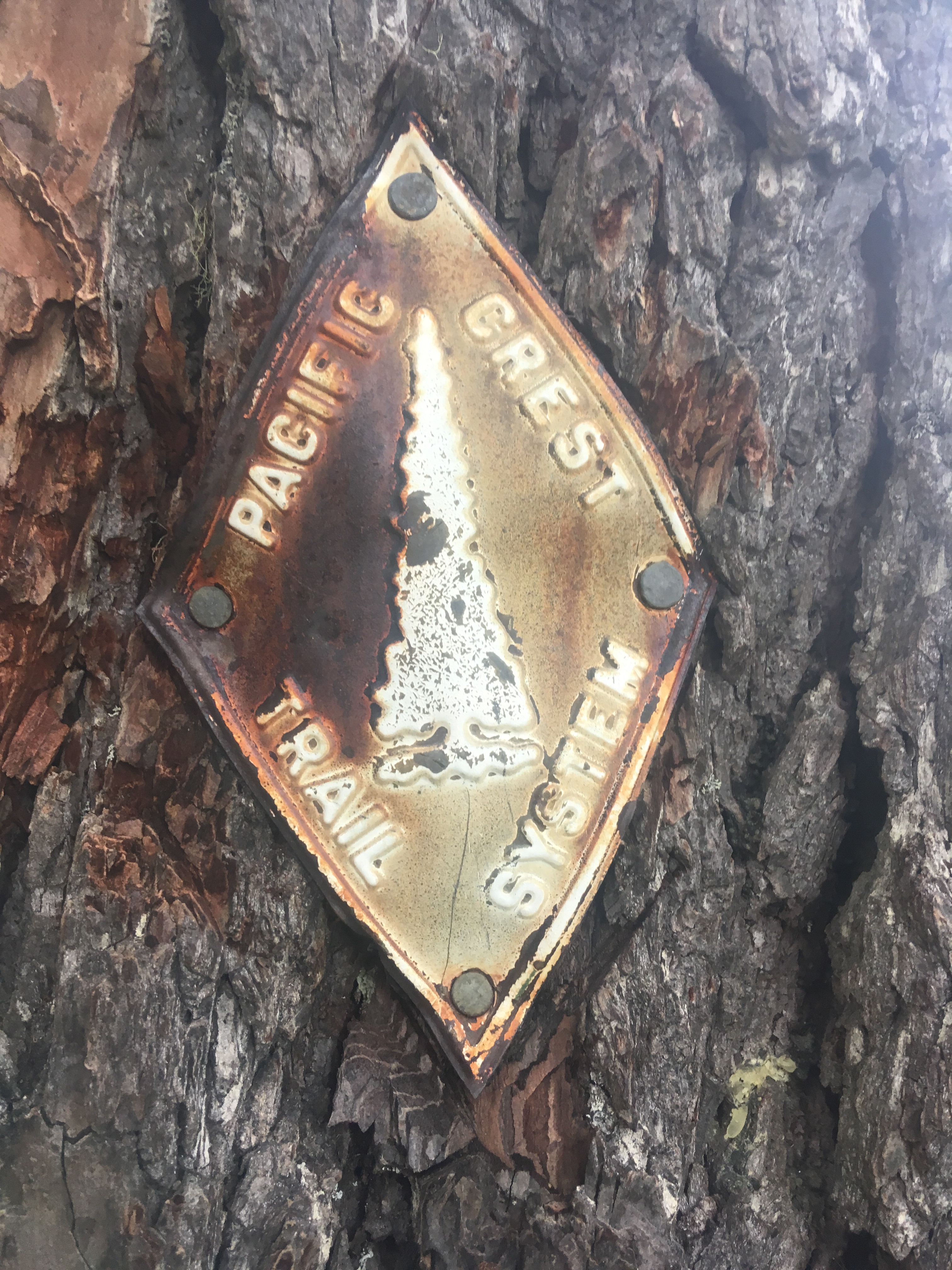
Readers, I’ve been neglectful of you. I haven’t posted on here in a while. I have been uploading photos to my Instagram account though. For more frequent updates you can follow me: @han_sobo_Since it’s been a while, this is gonna be a twofer (hence the double title). The Sierras were incredible. Incredibly beautiful, incredibly difficult and incredibly cold. We lucked out with very little snow and hardly any wind on most of the high passes. In fact it was mostly sunny and pleasant during the day, just really cold at night.The desert weather has been mostly similar to the Sierras, except with the addition of insane winds and a lot hotter during the day. The temps have still been cold at night, but not quite as bad as the Sierras. Also, to my surprise, the desert has been very beautiful as well. It’s a more subtle beauty than the Sierras mo st of the time, but the sunsets have been mind blowing.Although the Sierras were extremely difficult in the sense of daily elevation gain and loss, all at higher elevations than the rest of the trail, we pretty much crushed it. Most people drop miles per day in the Sierras, but we kept a steady 20ish miles per day throughout. Now that we are in the desert, have dropped down in elevation and the trail is considerably flatter, we have been picking up the pace even more as we race towards the finish line. We have slightly less than 300 miles to go and should be done around November 18th. 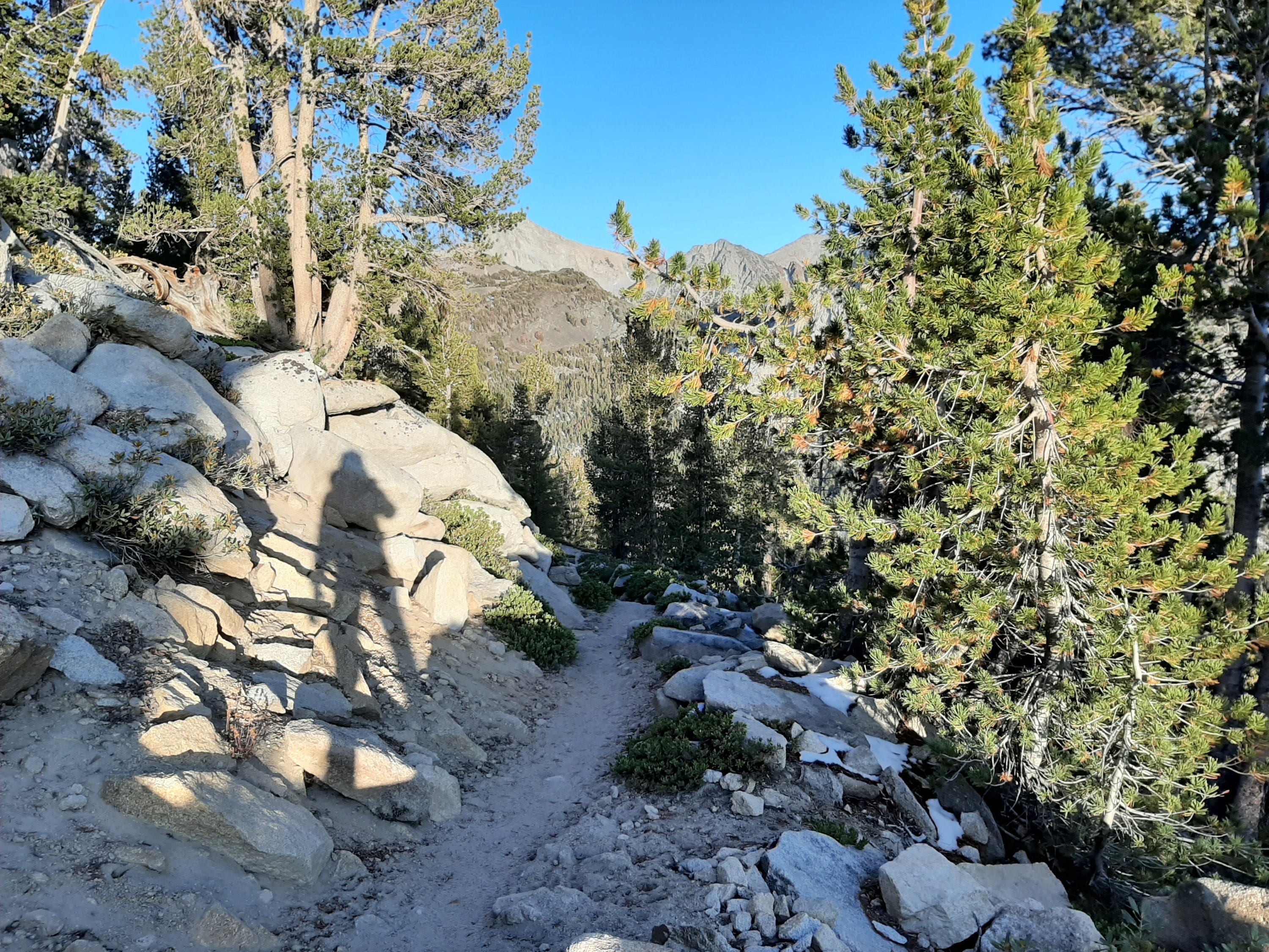


We have been forced into taking a couple more involuntary rest days. This time it was because of weather and not injury (which was the reason for our 8 day involuntary rest in Oregon). On the plus side, we are due for 7-10 days of nice weather starting tomorrow. With Oden on our side, that should be enough time to get through the Sierras.
Loki, the God of mischief, threw a wrench at us last week and I lost my phone. My phone had not been backed up since before we started the trip, so I lost pretty much all my photos. Also, I lost all of my contacts because I switched from apple to android and haven’t been able to log into my iCloud account because of apple’s two step verification process involving needing to have access to one of their devices, which I don’t have anymore. So, text me if you still want me to have your number.
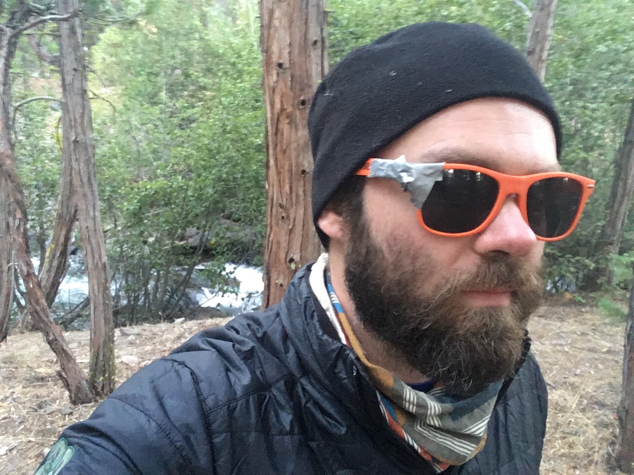
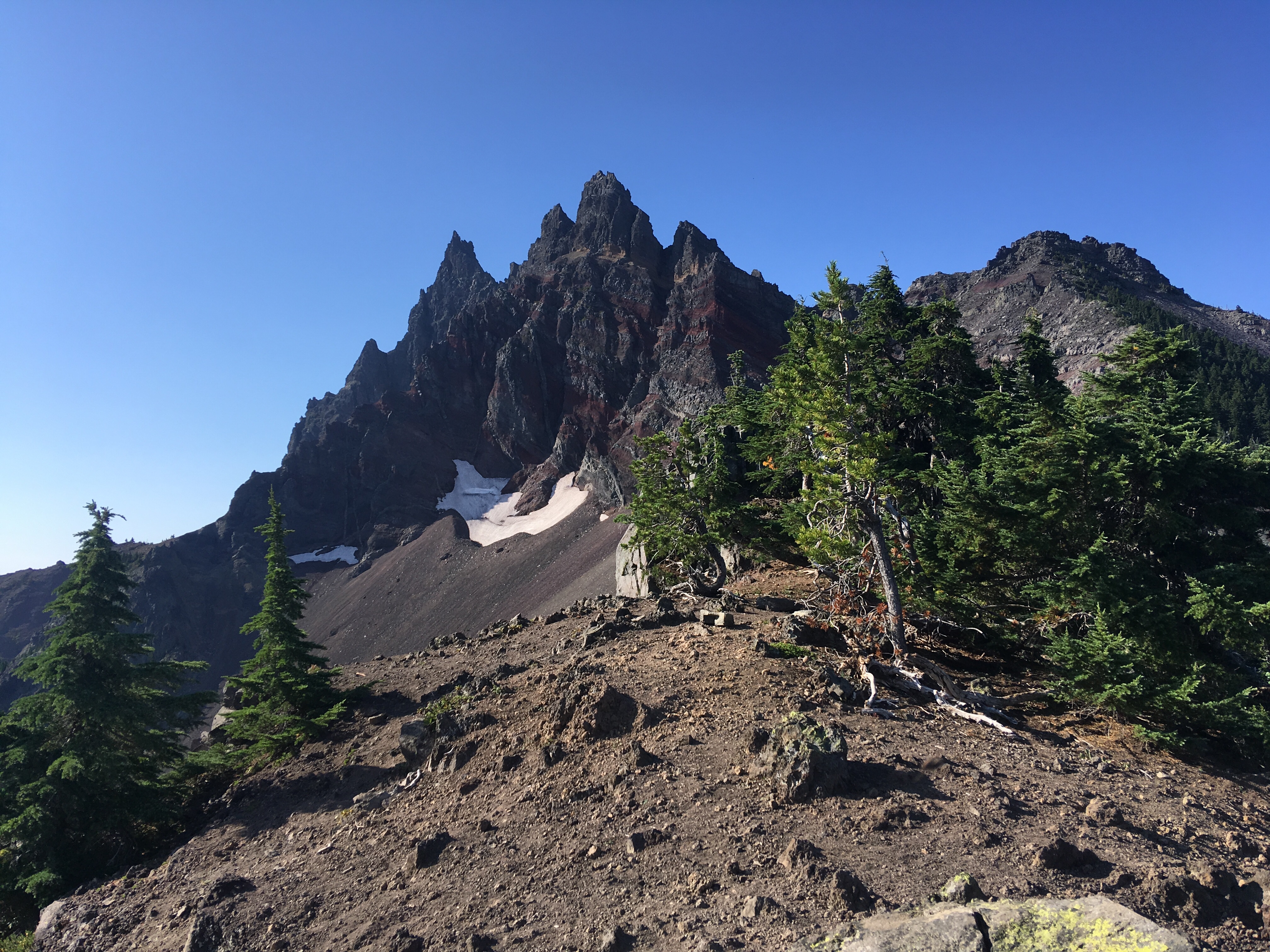
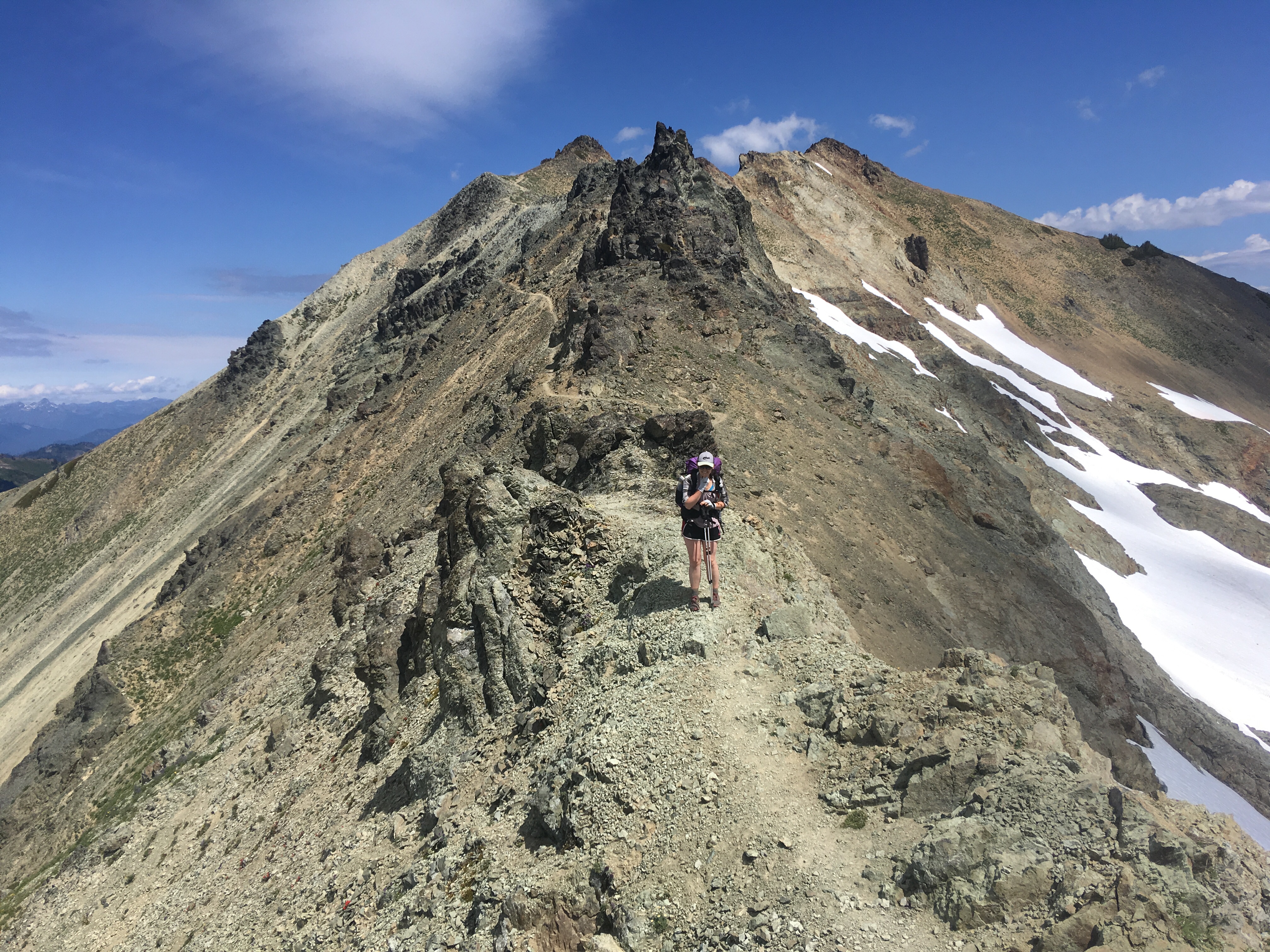
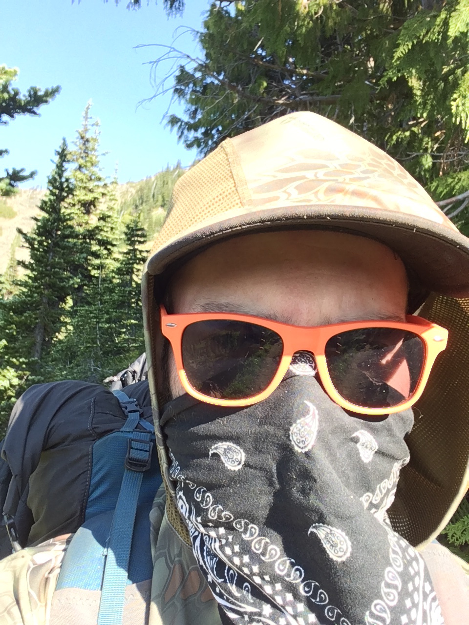
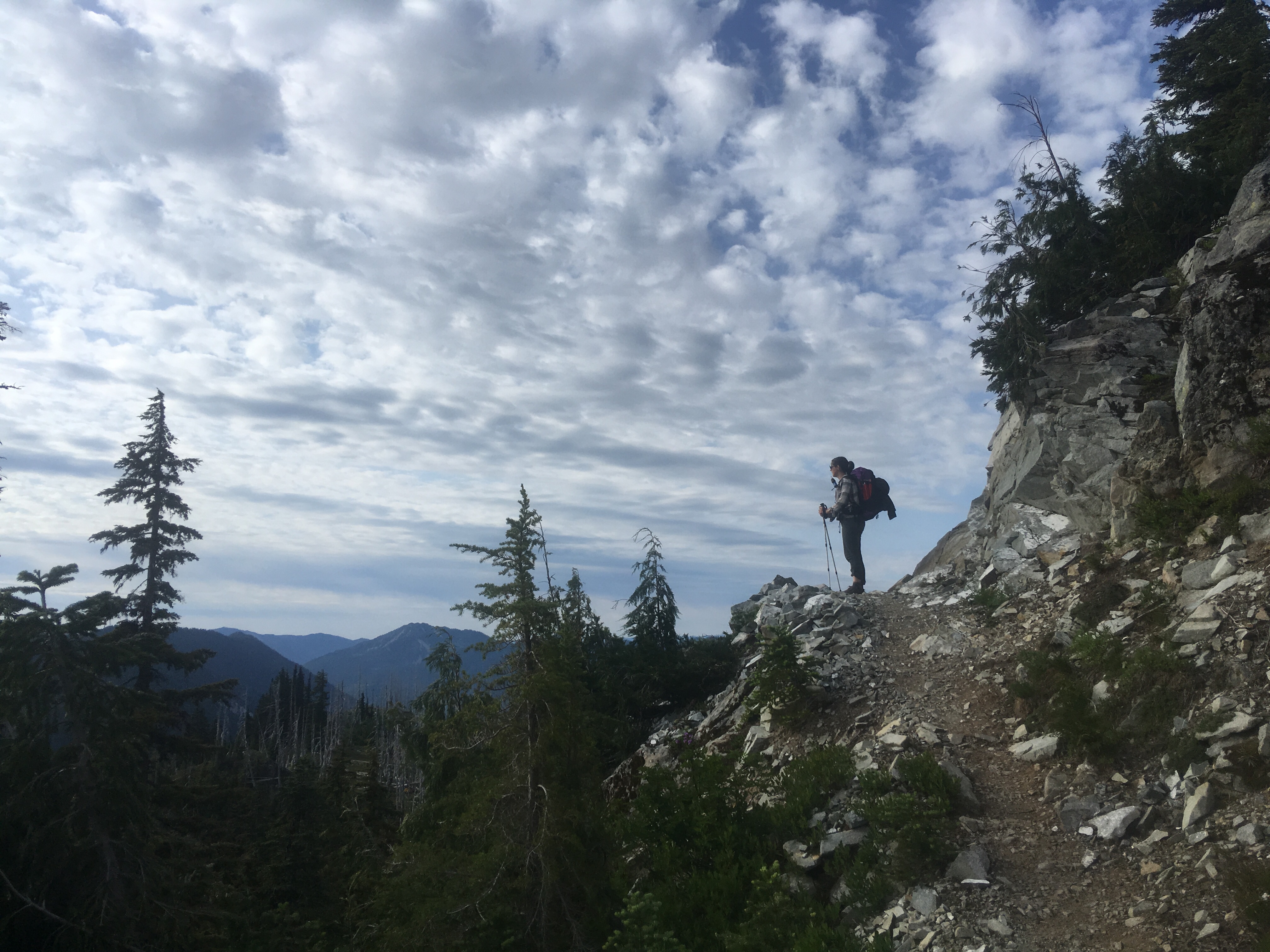
Luckily, my hiking partner, Michelle, has been backing up her photos in every town, so I can still share some photos here. Michelle not only had the brains to back up her photos, but she also has a better camera, and sometimes she takes pictures of me, so I’m not complaining. Here are some of my favorites of her photos from the last section:
After a week off trail and a couple weeks of hiking at lower than average miles, we are back up to speed. We decided to skip ahead about 350 miles on the trail to get us into a reasonable hiking distance of the Sierras. Maybe we will come back and complete the section we skipped at the end, but more likely we will leave those stones unturned until next year.
The Sierras have become my white whale. They are the highest, most dangerous, and arguably the most difficult and beautiful section of the PCT. The goal is to get through them by October 1st so as to not get stuck in an early fall snowstorm. We are track now as long as we keep our pace to be through right around that time. Then it’s just an easy 700 mile walk through the desert of Southern California after that. 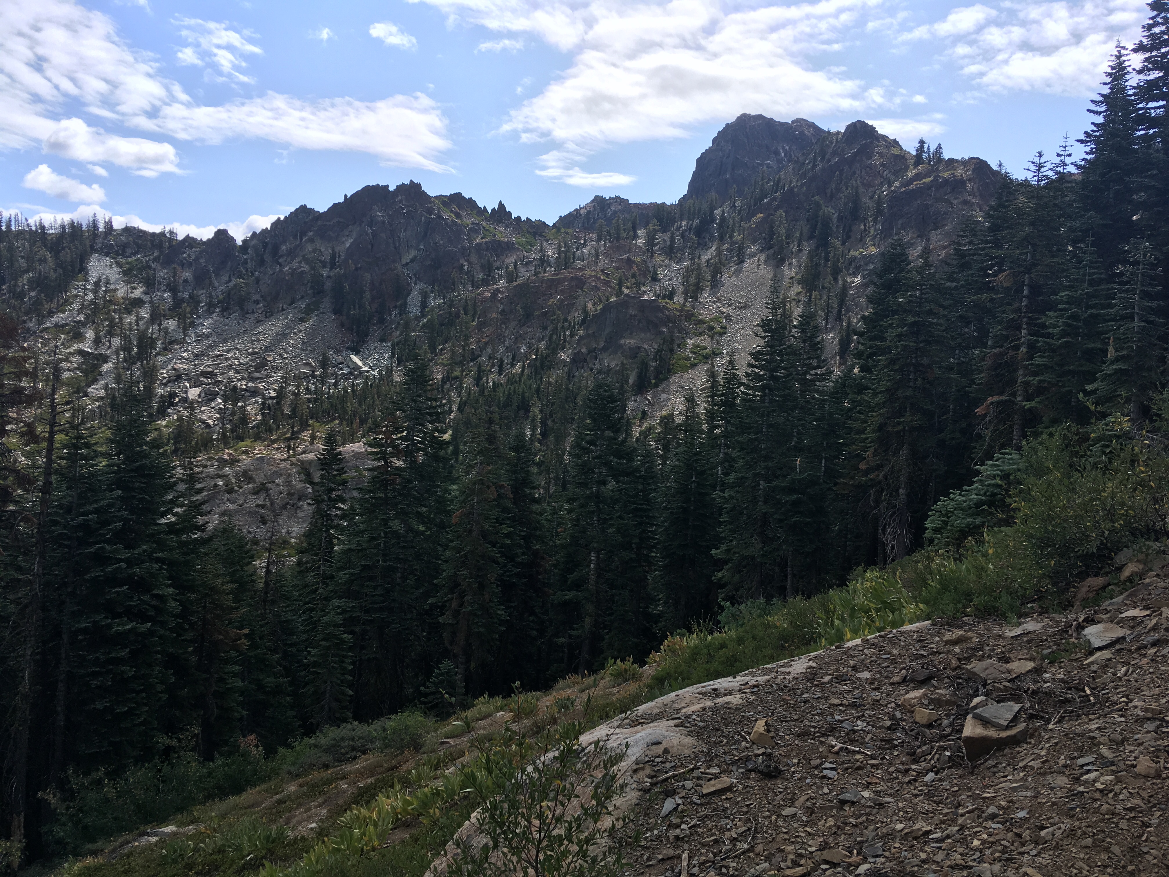


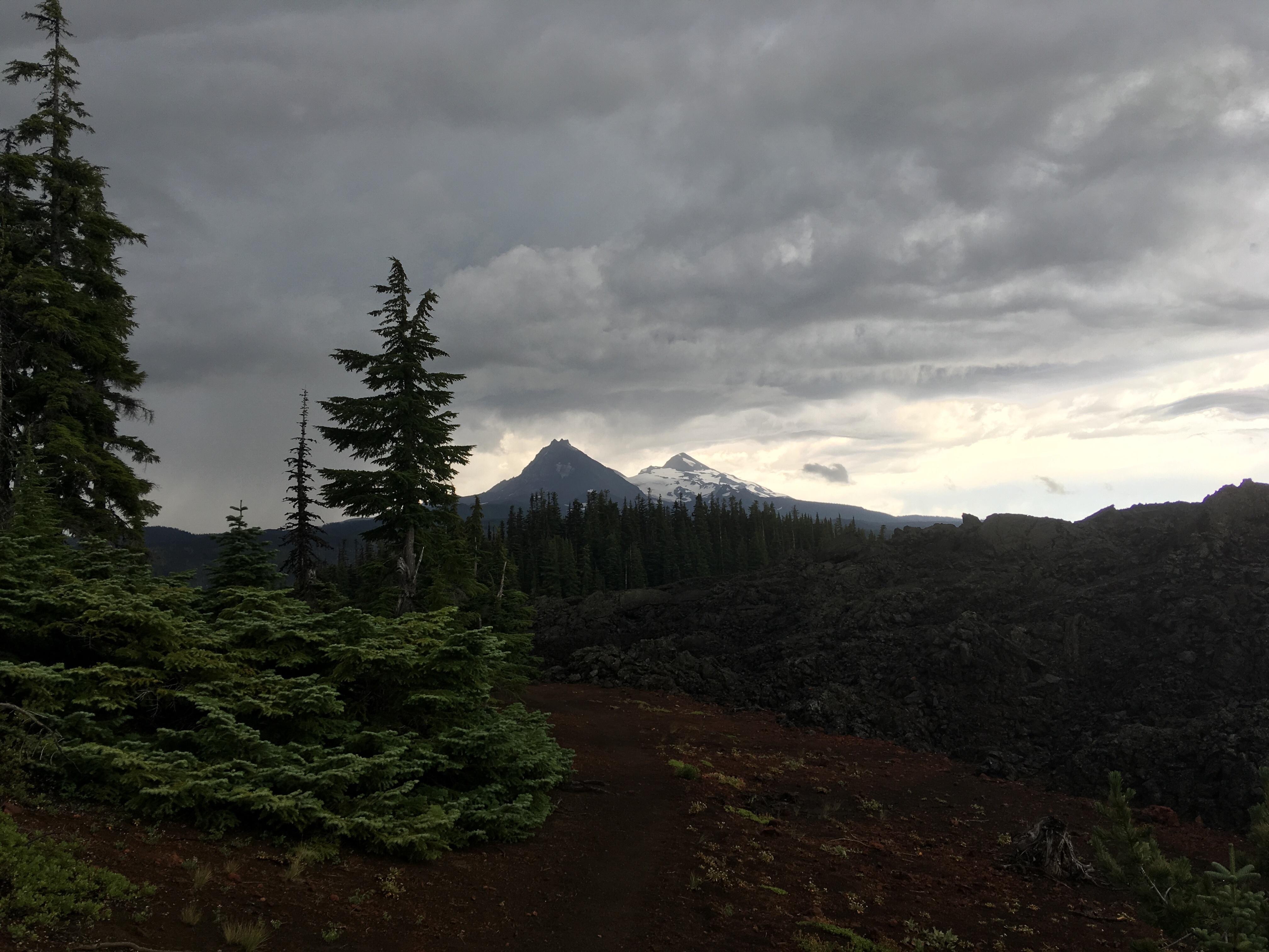
Oregon is commonly referred to as “flat” by PCT hikers. This is relative. Compared to Washington, or the Sierras, there is much less elevation gain and loss. Compared to Kansas, you’re still walking up and down mountains pretty much the whole time.
PCT hikers also will say Oregon is boring. Although there are not as many nearly constantly stunning views as Washington, there are quite a few and since they aren’t as frequent as Washington, I may have appreciated them even more.
Currently, I am laid up in a bed in Ashland Oregon. I hurt my knee right before getting here and have been resting it for a few days and will probably need to rest it a few more before heading back out. This has been our first hotel stop since Trout Lake, about 450 miles ago. Hence the lack of recent blog posts.
Washington took us about 5 weeks and we would have made it through Oregon in right around 3 weeks if I didn’t hurt myself. Now, it’ll probably be closer to 4 by the time we cross the border. But, prior to my injury we had been steadily increasing our mileage to hit over 25 miles in a day on a few occasions.
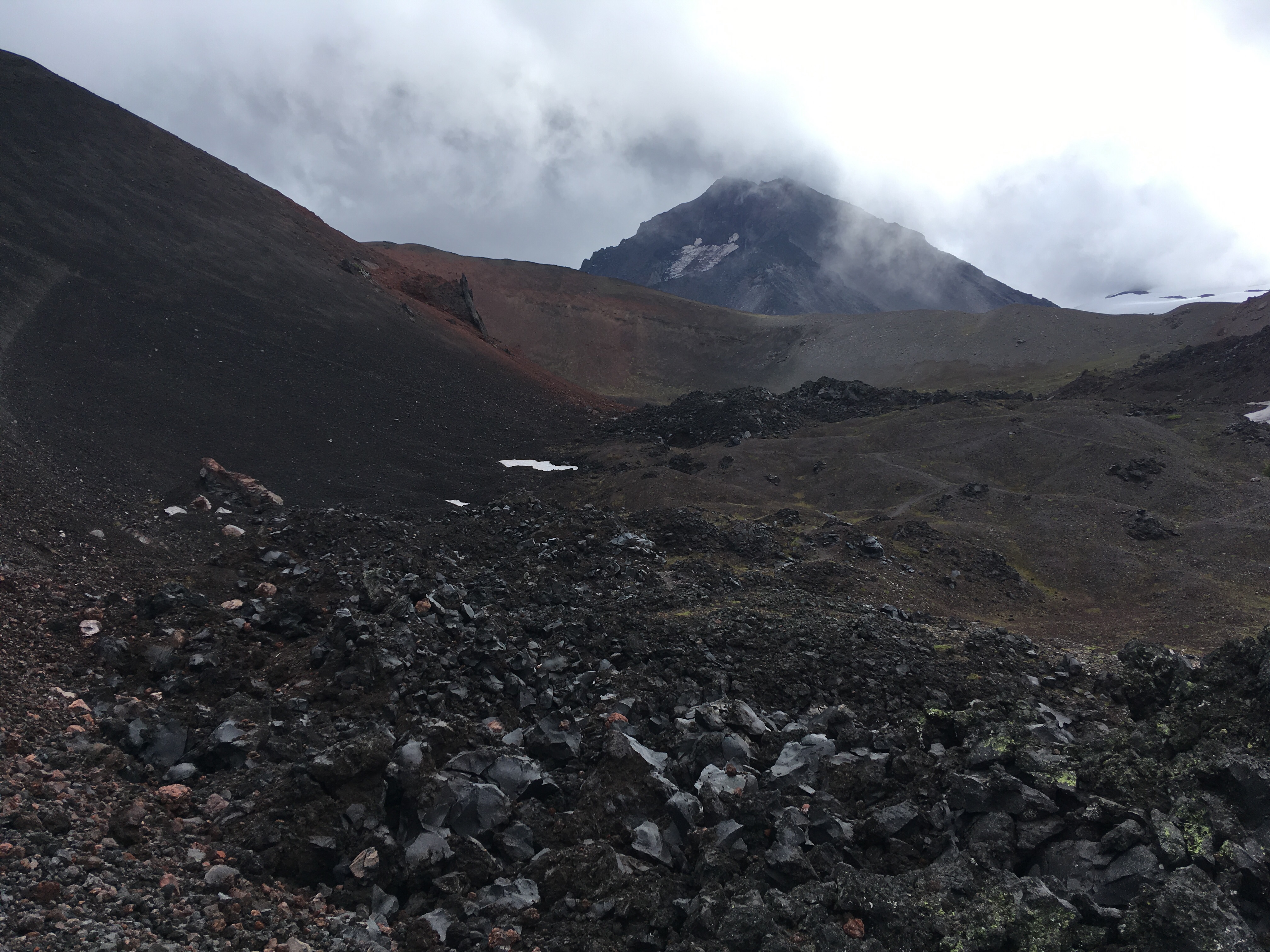
One of the most lucky parts of our trip thus far was walking through an extremely exposed Lava field at high elevation in very close proximity to a hail and thunder storm. We did not get struck by lightning, but getting blasted by the wind, rain, hail and thunder while traversing a steep trail of loose lava rocks made for a pretty exciting time.
So, I thought of the title of this post before I hurt my knee and had to spend the last four days in a hotel, but really we were pretty lucky and moving pretty fast right up until then, so I decided just to go with it.
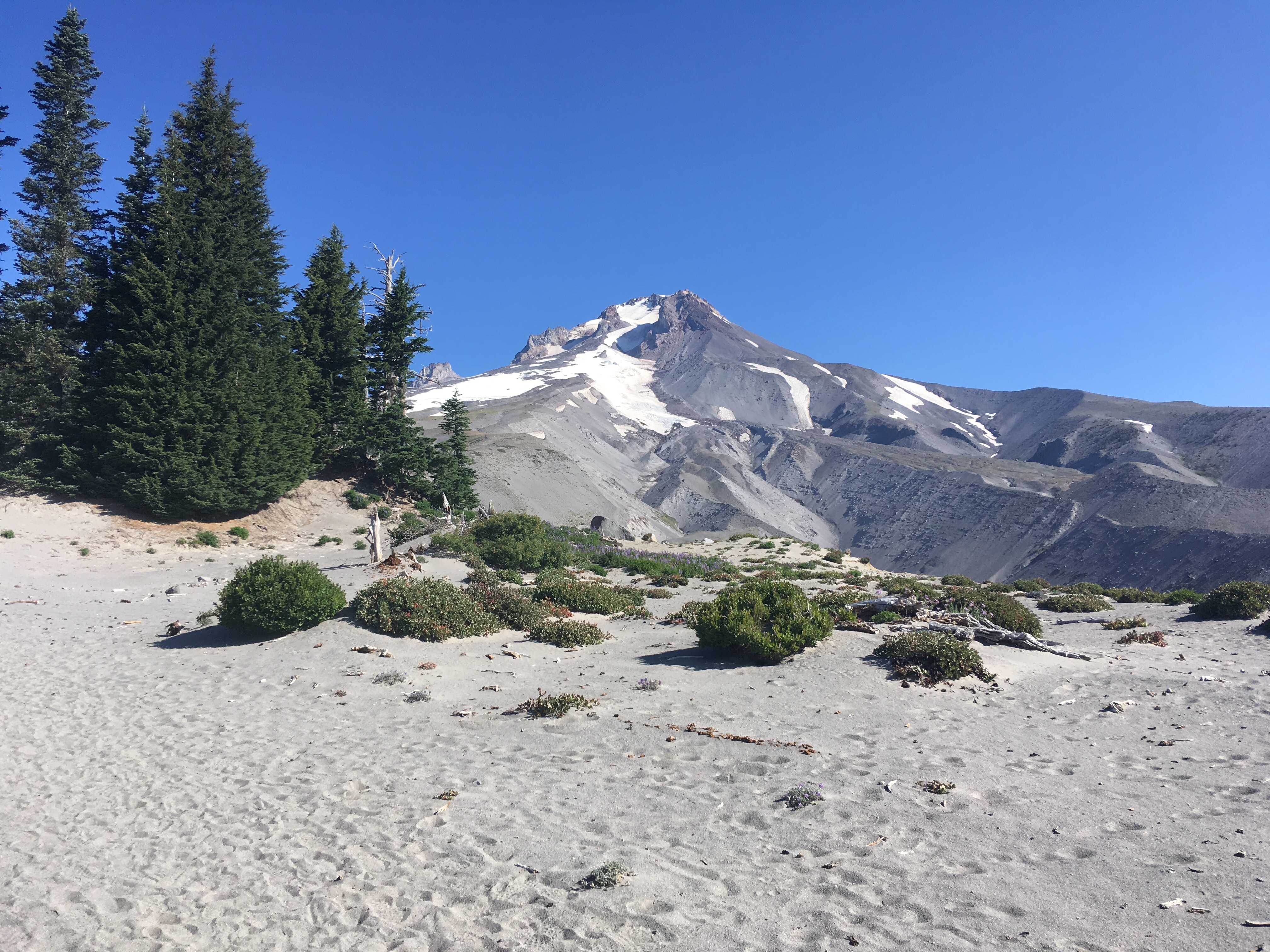
Anyways, here’s some pictures from Oregon:


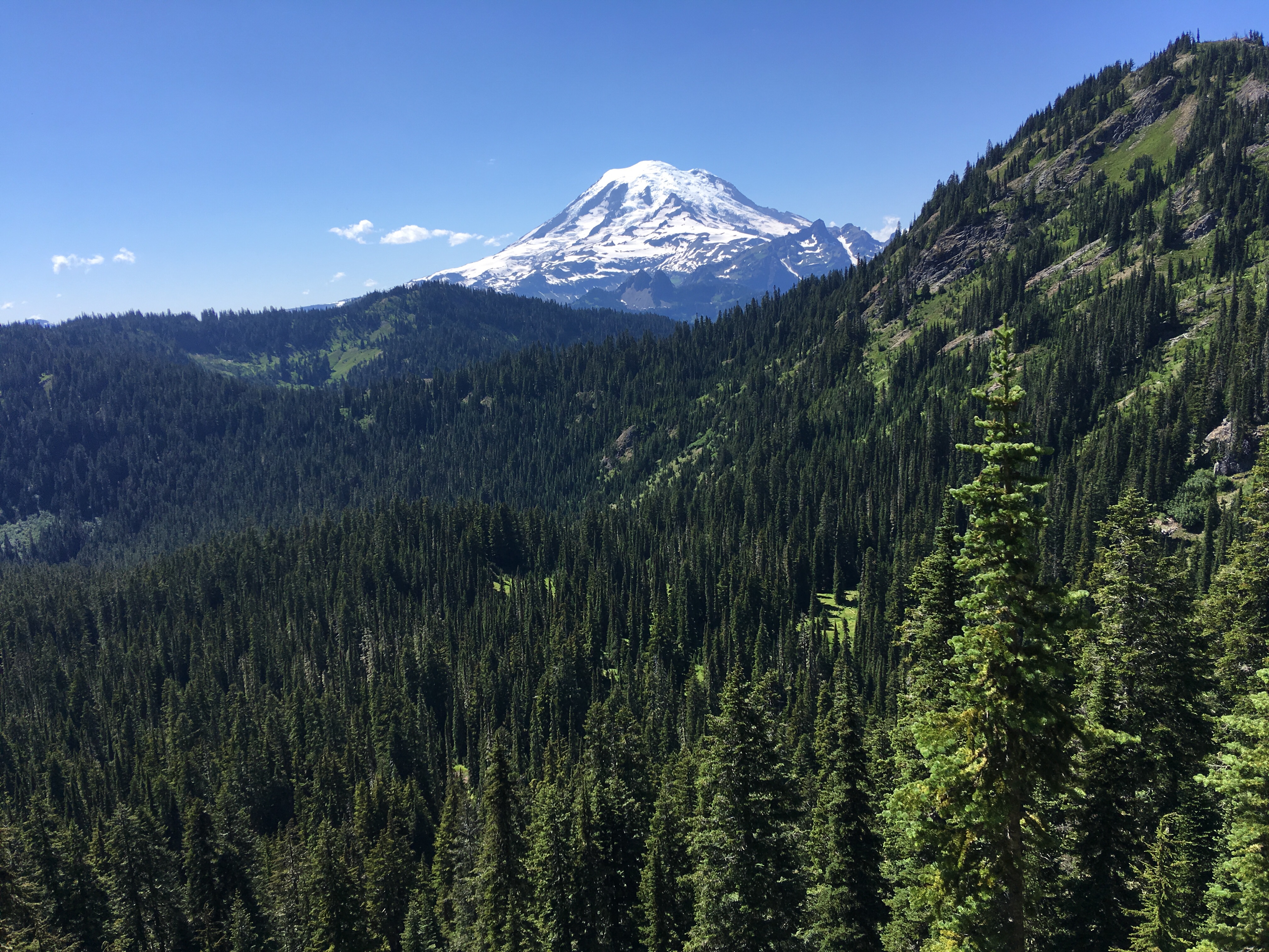
Made it just over 400 miles. Goat rocks was amazing. We saw a mountain goat majestically climb a peak but weren’t fast enough with the camera. Saw our first glimpse of Mt. Hood which means we’re almost in Oregon!


We have hiked out of the clouds and into mosquito swarms. We are now hiking 20+ miles a day, are eating 6 meals a day and our feet have grown a half size, so we’re basically hobbits. We’re about 350 miles in. 2,300 to go.
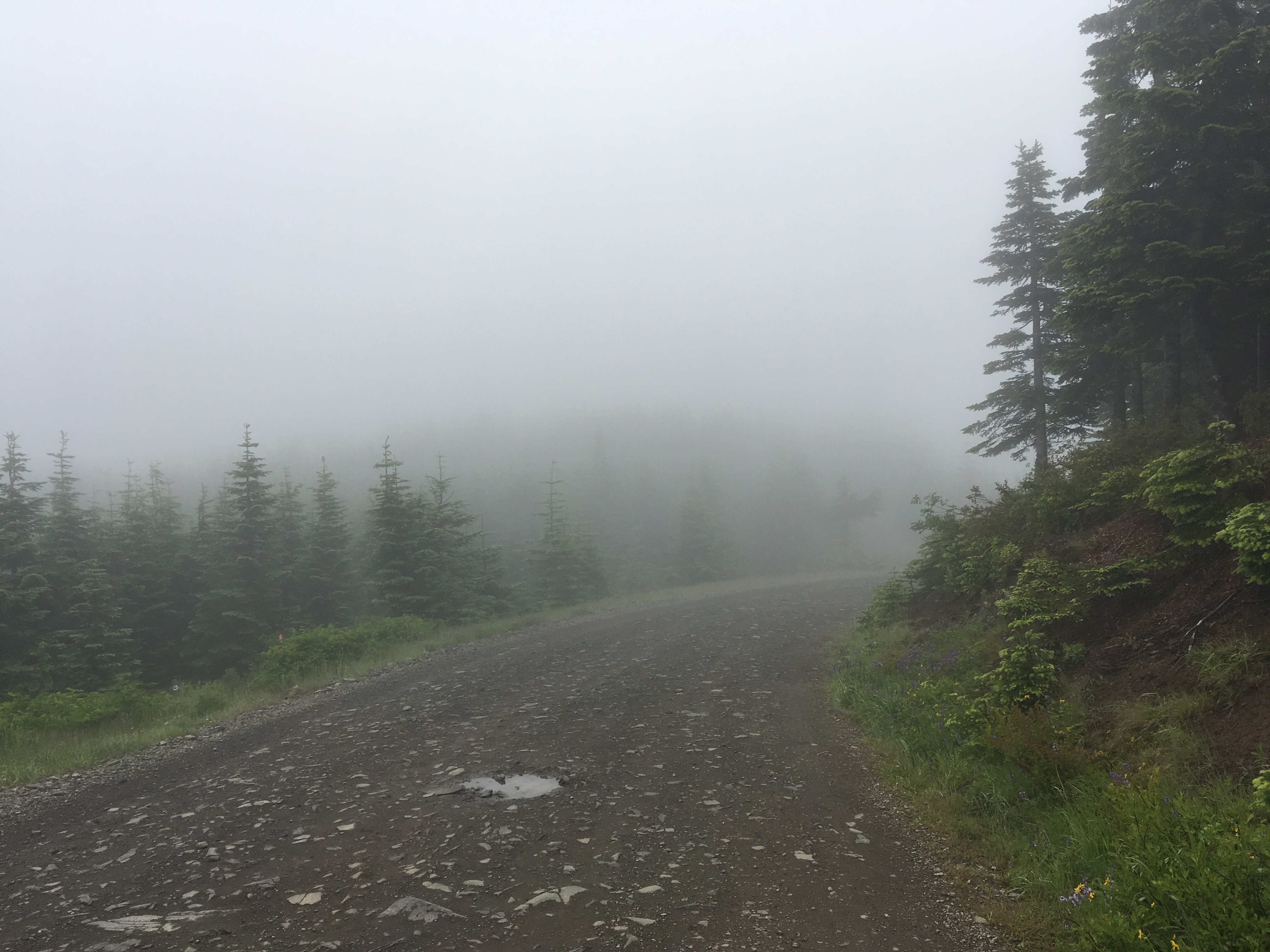
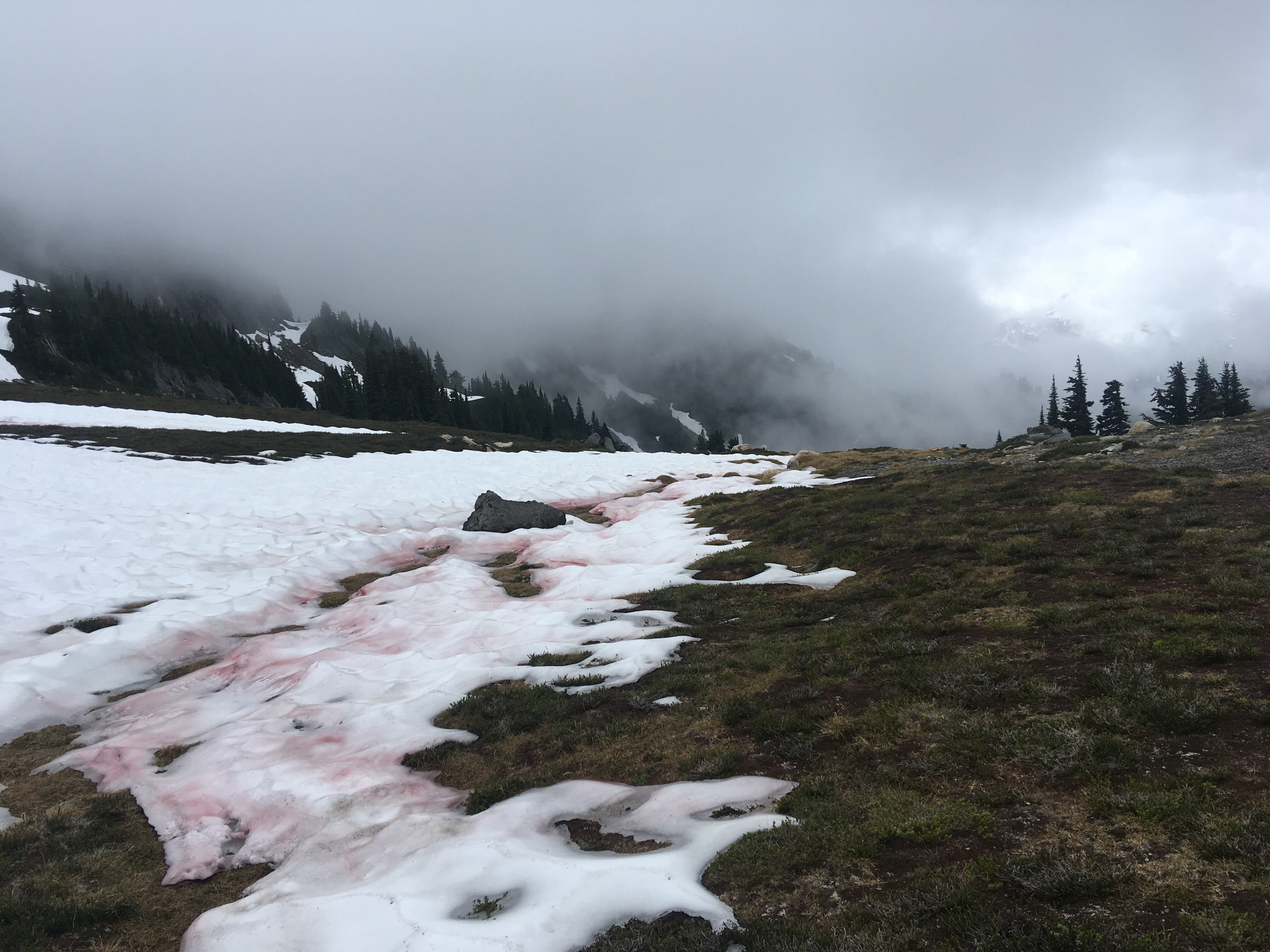
While it may be summer in the rest of the country, in the Cascades of Northern Washington it is still early spring. We spent at least 4 of the last 7 days walking through low hanging clouds/fog/mist and the other 3 we saw a mixture of sun and showers. We also saw our first bear and finally figured out what animal was making this weird womping sound we’d been hearing since the first day. It was a grouse. Also, another mystery was solved when another hiker told us why the snow was red. Apparently, it is algae, not the blood of fallen hikers as we suspected.
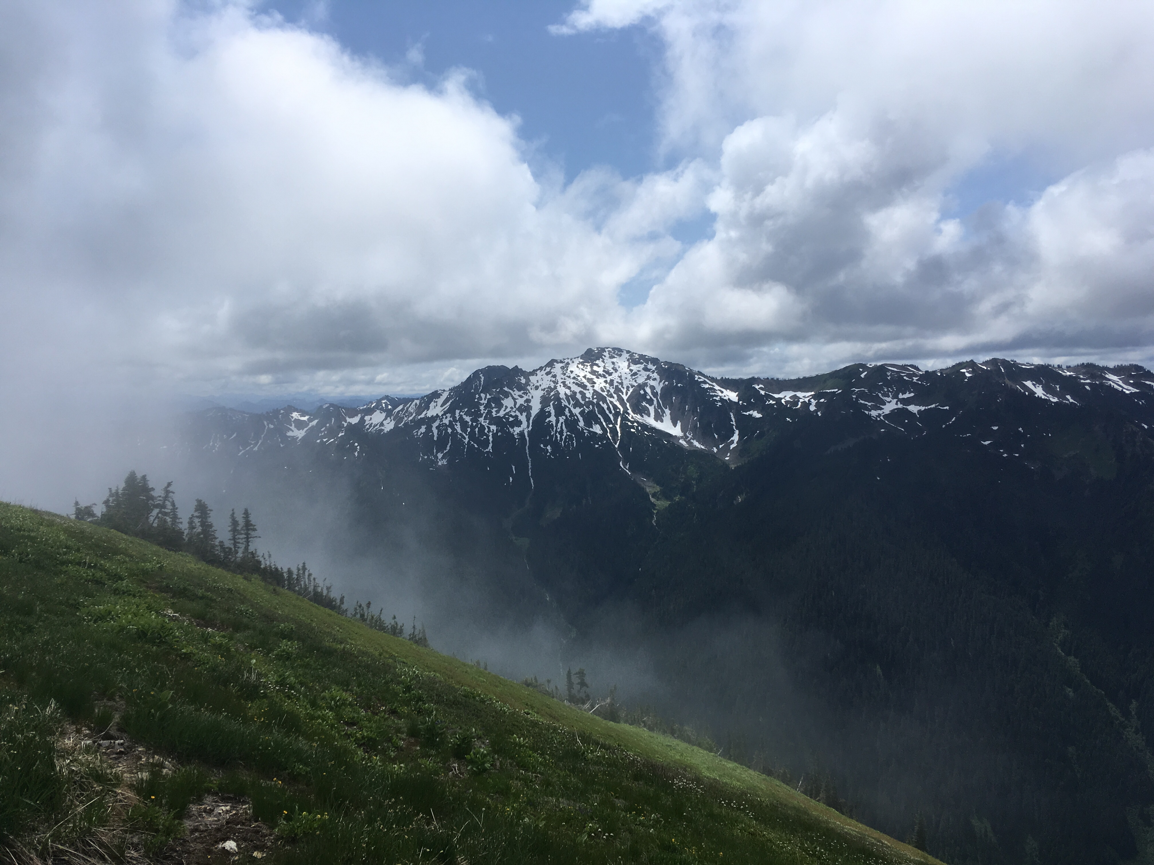
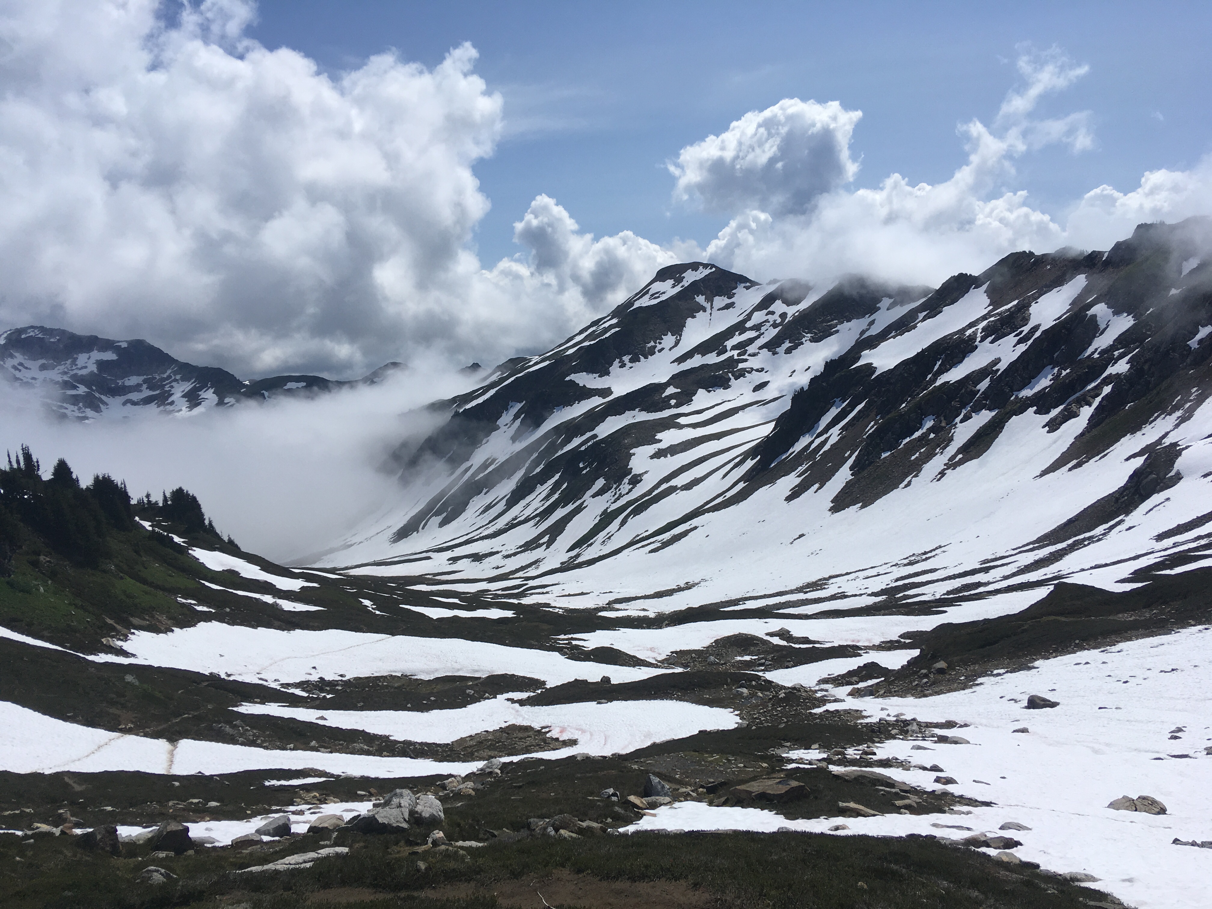
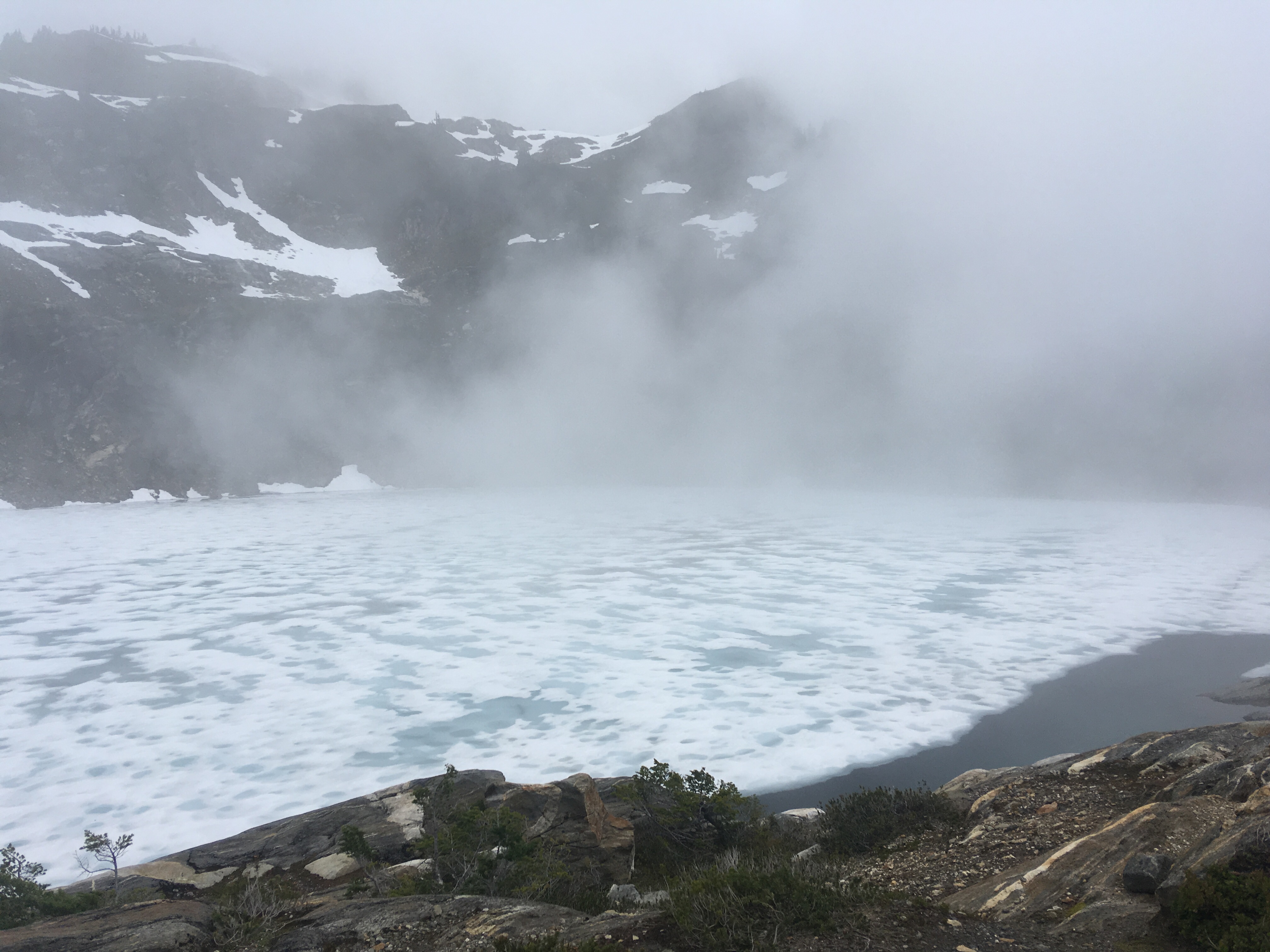

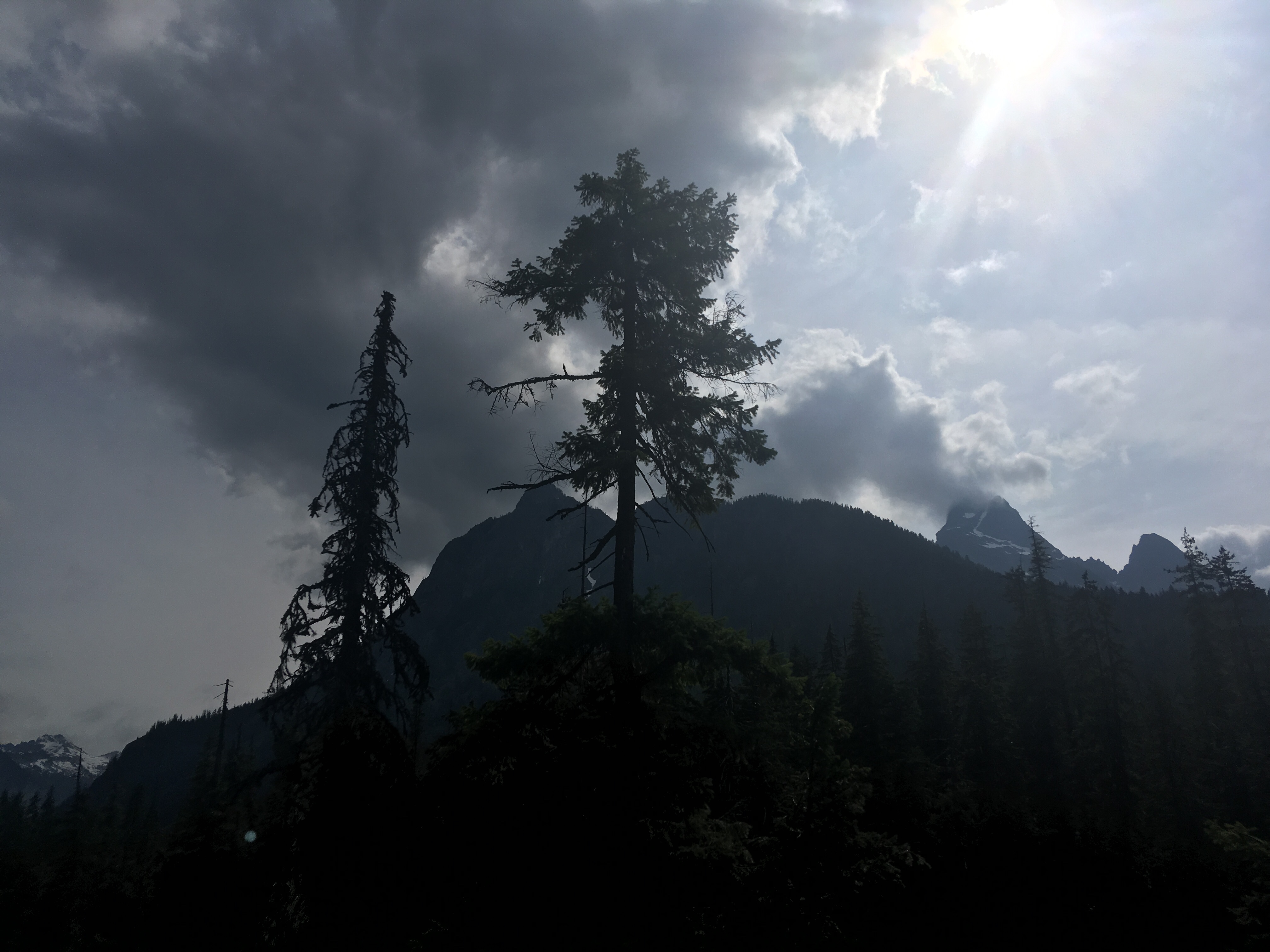
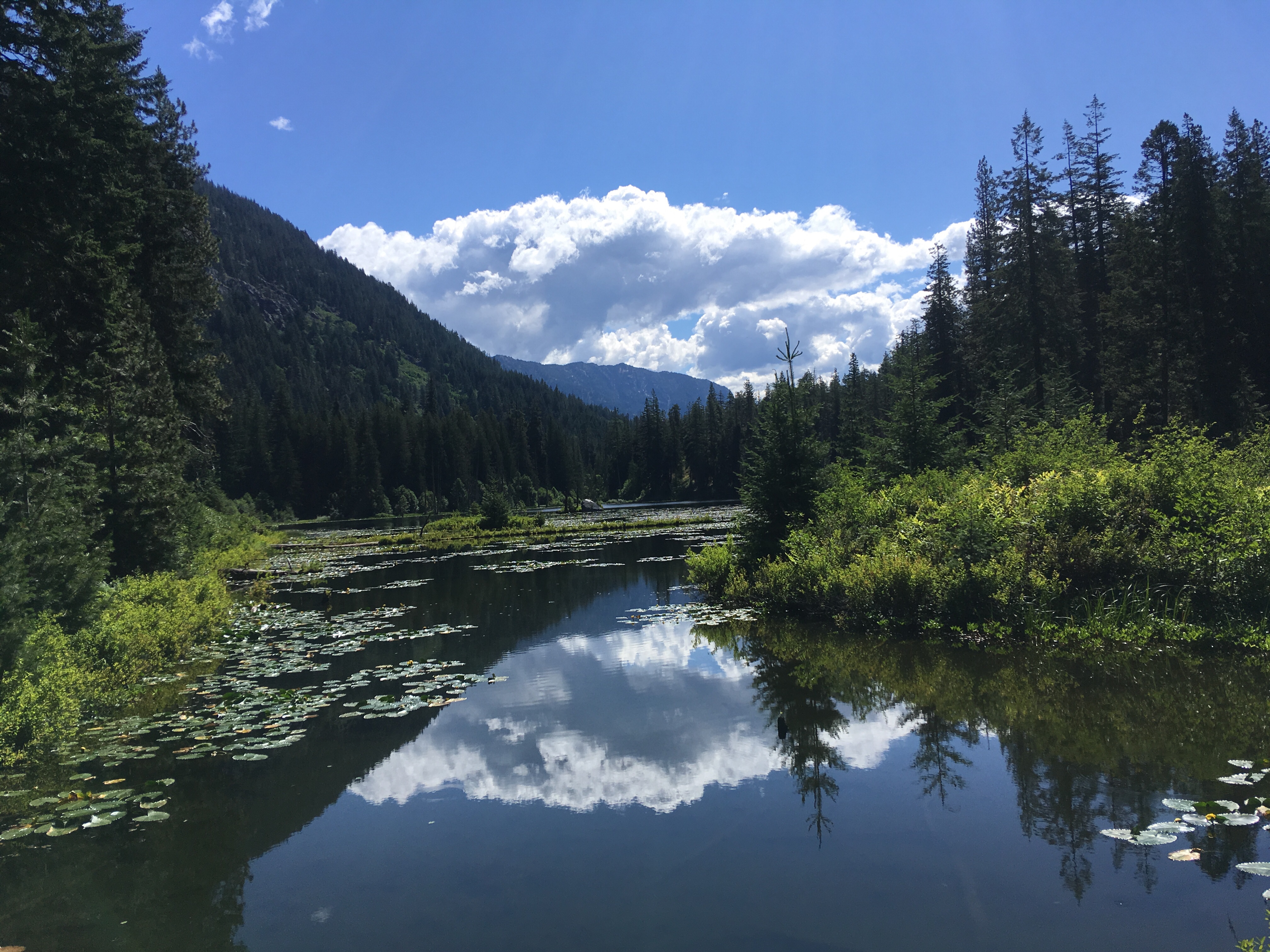
We made it from Hart’s pass, to the Canadian border, and back and then further South to Stehekin, WA. We’ve hiked a total of 112 miles over 8 days. We saw mountain goats, marmots, ground hogs, deer, lots of chipmunks and birds, as well as many wildflowers and snow capped Mountain views. We got rained a few times, but mostly had nice weather. Michelle had some pretty serious foot pain during the first week and I had a bit of a sinus/respiratory infection, but we are both better now and got to shower, do laundry, eat a couple big meals and sleep in a bed. Now we are heading back out for another week and another 108 miles. My trail name is Han Sobo. Never tell me the elevation.
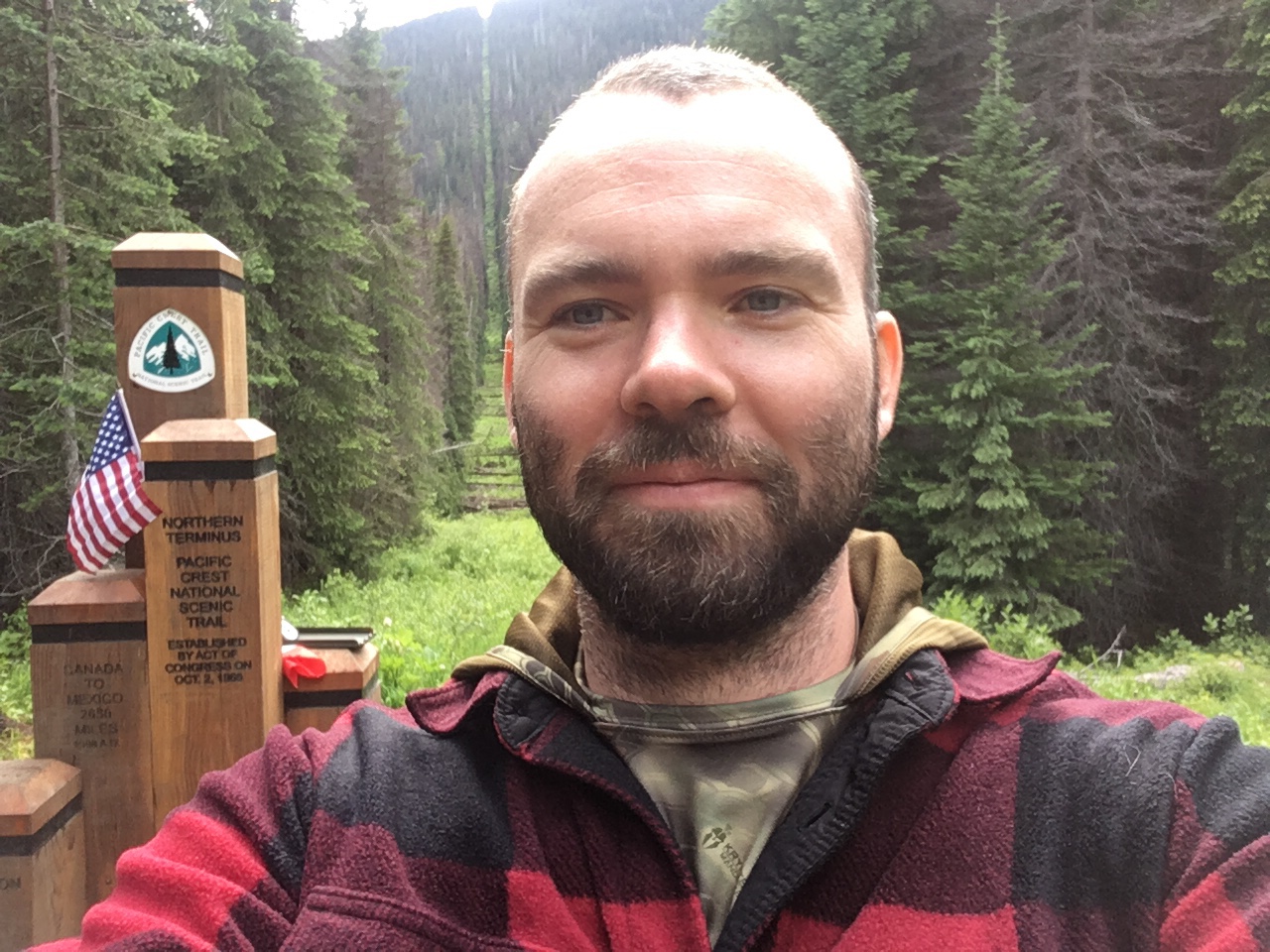
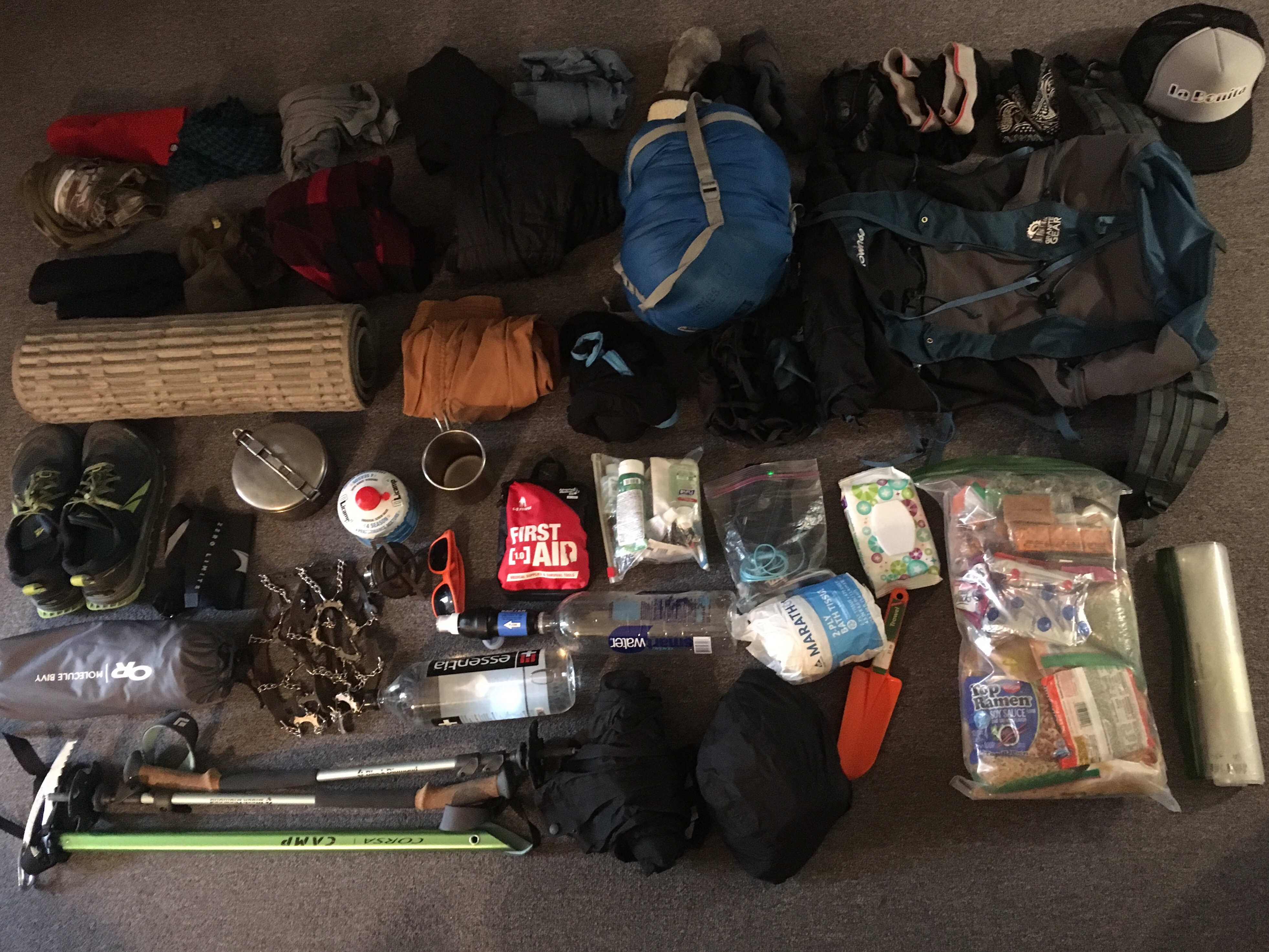
This is what I’ll be heading out with for the first week of hiking the pacific crest trail. I will be starting on June 26th at the northern terminus, the Washington/Canada border, and heading Southbound towards the southern terminus, the California/Mexico border. Food, toiletries, fuel, first aid, batteries, etc. will all be resupplied at stores and post offices in town along the way. Water will be replenished and filtered at water sources along the trail. The rest of the gear should remain with me for the duration of the 2,650 miles. Except for shoes. Shoes will need to be replaced at least once a month or every 5 or 6 hundred miles, whichever comes first. If all goes well I should be finished hiking the trail by mid November.
Here is the gear pictured above- from left to right, top to bottom:
1st row:
Knit cap
Scarf
Long johns
Running shorts
Short sleeve short
3 pair of socks
3 pair of underwear
Bandana
Trucker hat
2nd row:
Balaclava
Mosquito net
Fleece
Synthetic Puffy jacket
30 degree REI Sleeping bag (inside a different stuff sack)
Granite gear crown 60 Back pack
Third row:
Sleeping pad
Hiking pants
Sleeping bag liner (adds +15 degrees warmth)
Clothing stuff sack
4th row:
Altra timp 1.5 trail running shoes
Gaiters
Cooking Pot
Fuel
Stove
Cup
First aid kit
Toiletries bag
Electronics bag
Wet wipes
8 days worth of food
Trash bag
5th row:
Bivy
Microspikes
Stove
Shades
Water filter and water bottles
Toilet paper
Trowel
6th row:
Ice axe
Trekking poles
Rain pants
Rain jacket
